James and I visited the Grand Canyon in June 2022
Travel from Phoenix to Flagstaff.
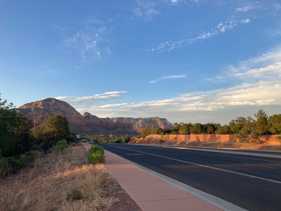
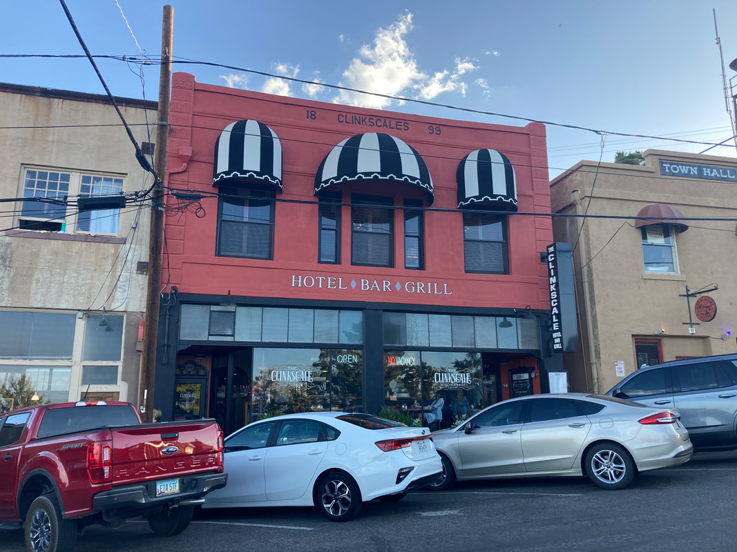
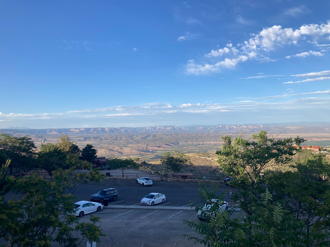
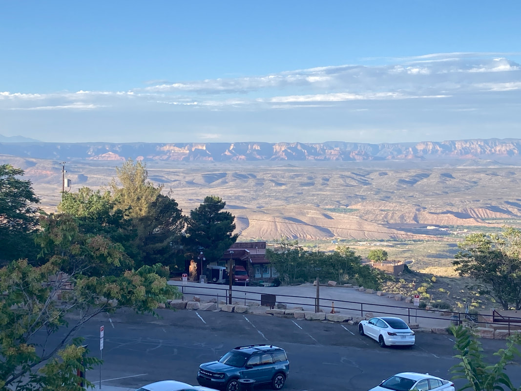
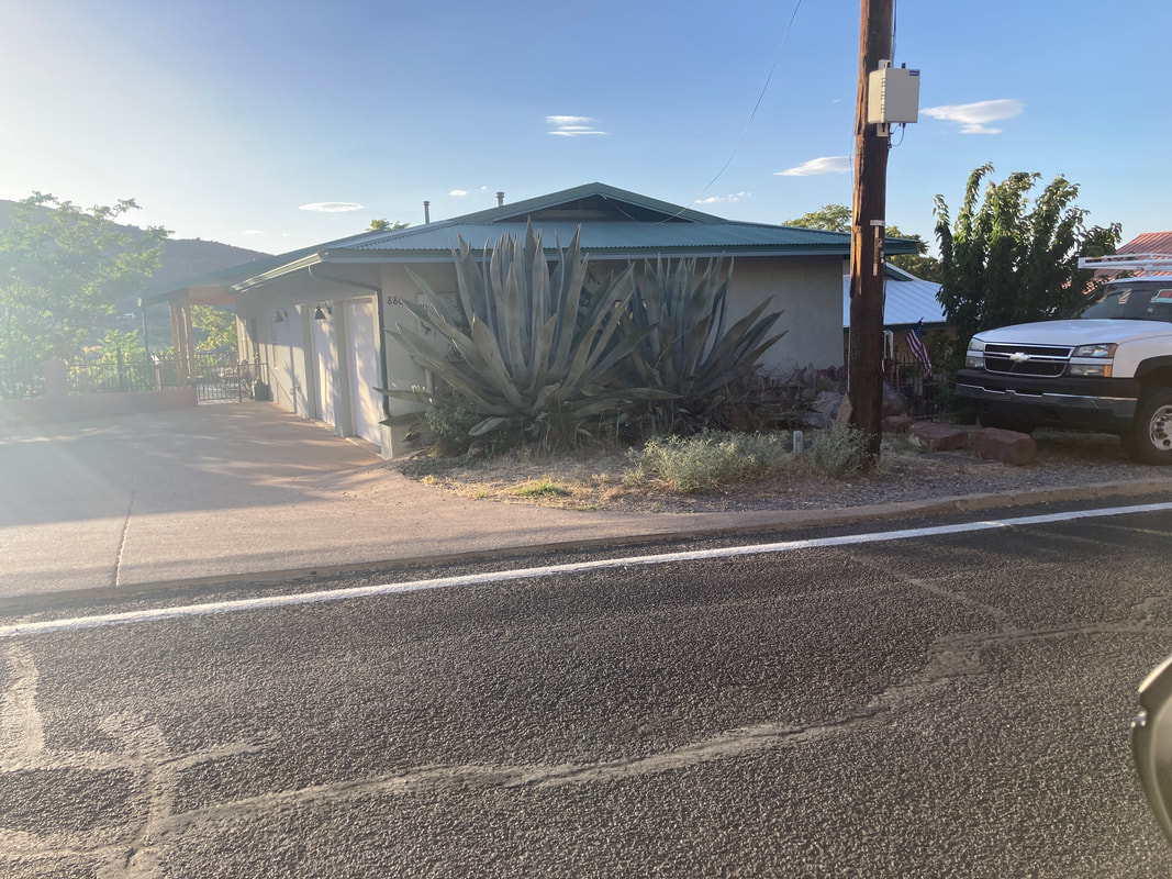
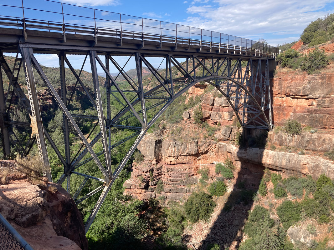
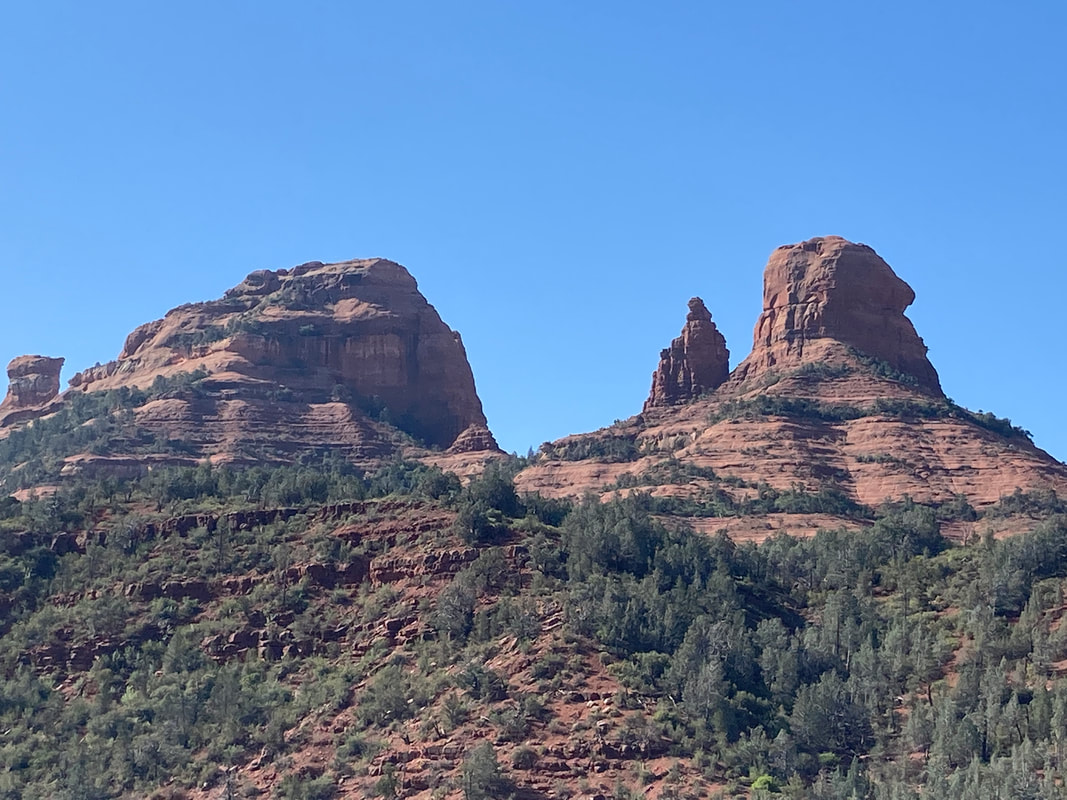
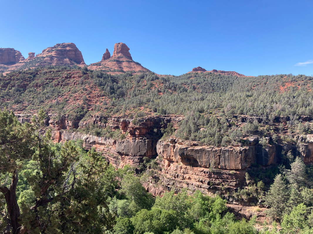
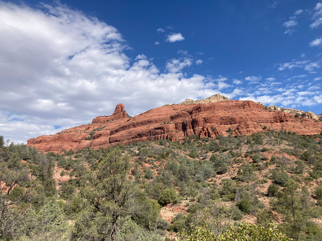
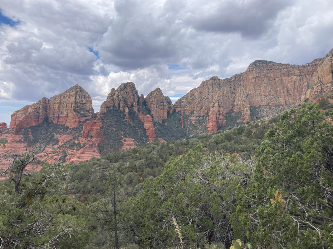
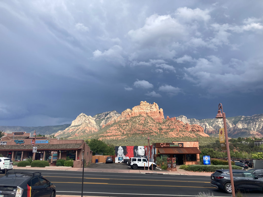
Brett shuttled us to the rental car. We took scenic back roads that were the same roads that Lin and I drove before. Our travels took us right by Todd and Corrine's place so we stopped to say hello. Ate dinner in Jerome and drove through Sedona. It was getting late and there is a long section of single lane construction north of Sedona.
|
|
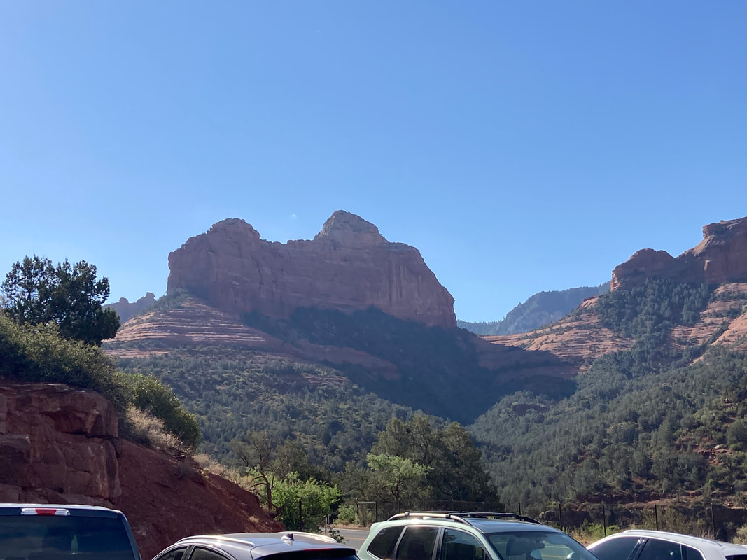
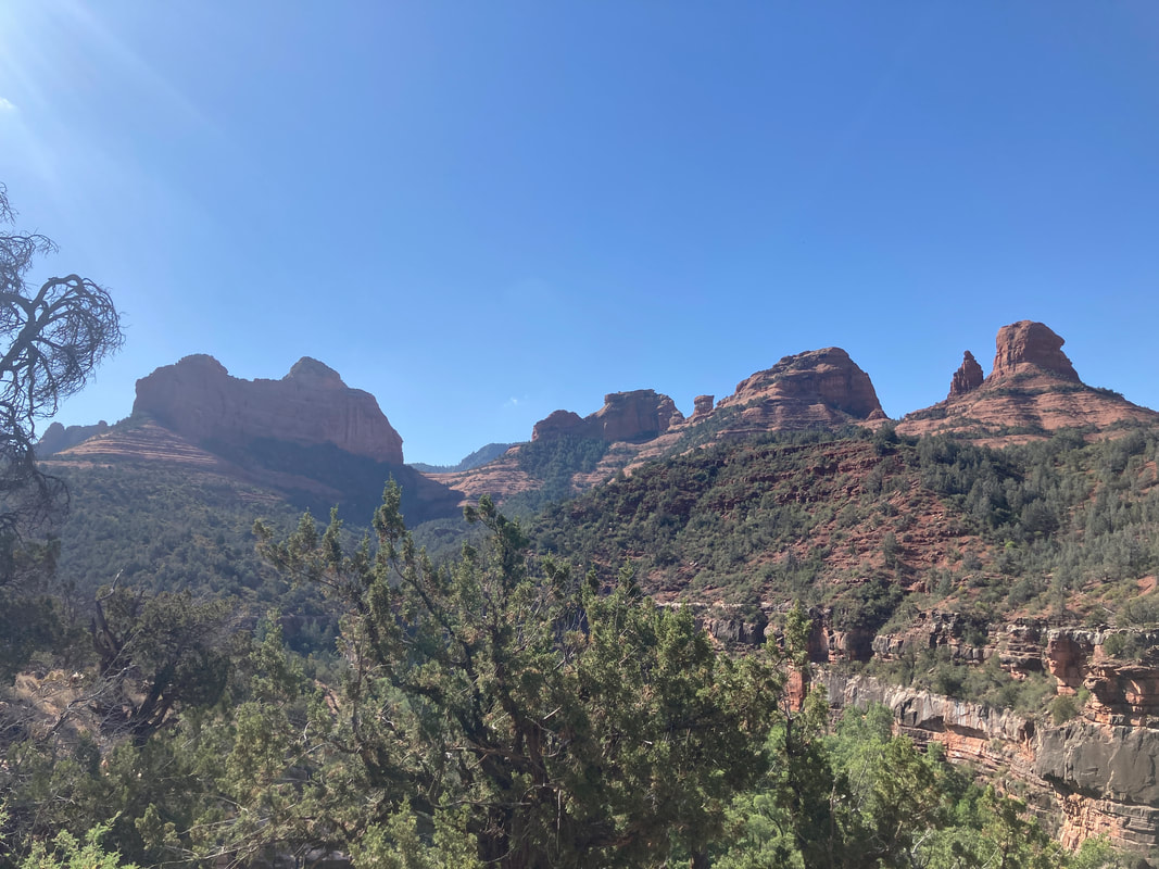
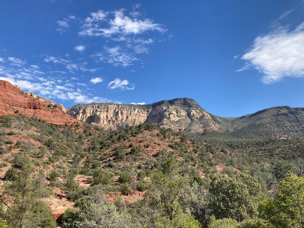
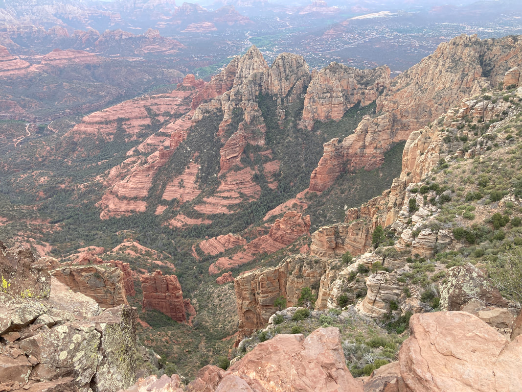
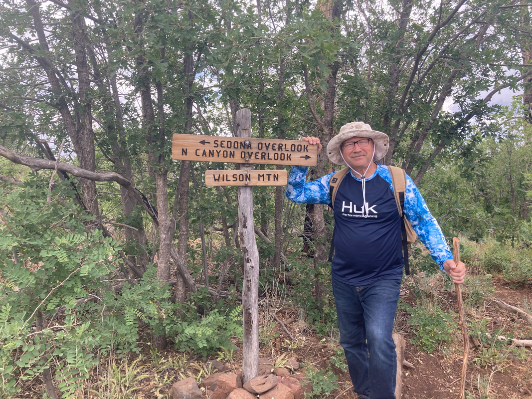
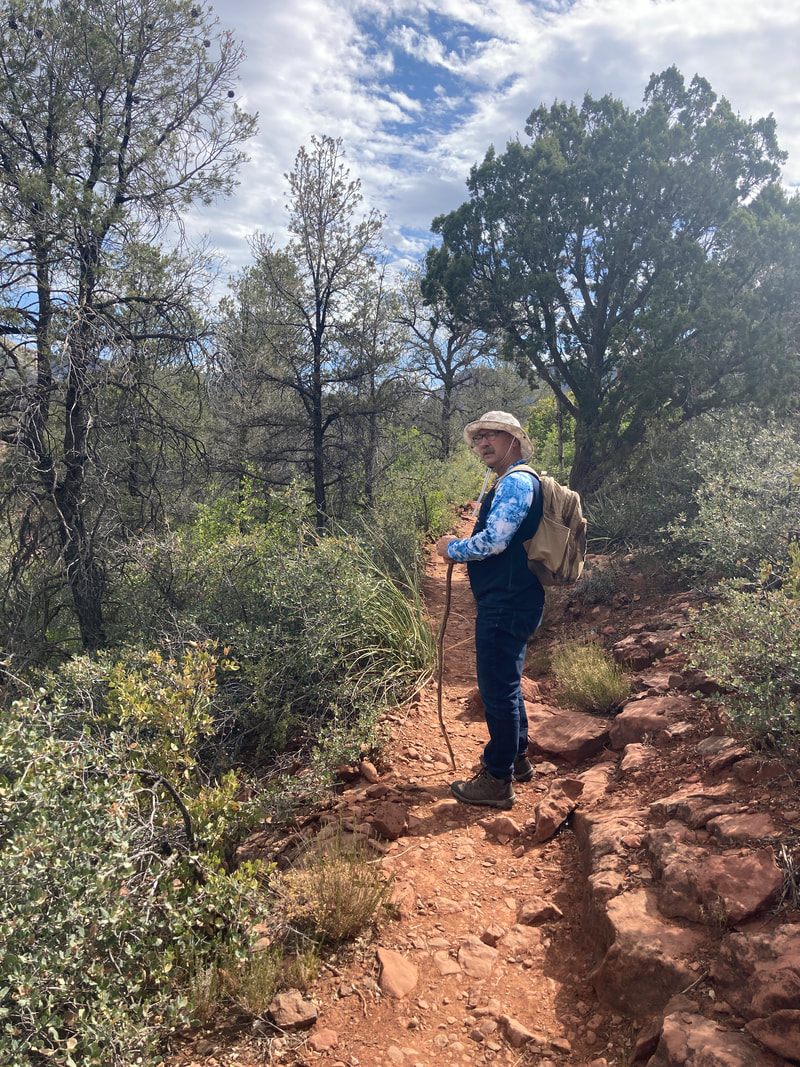
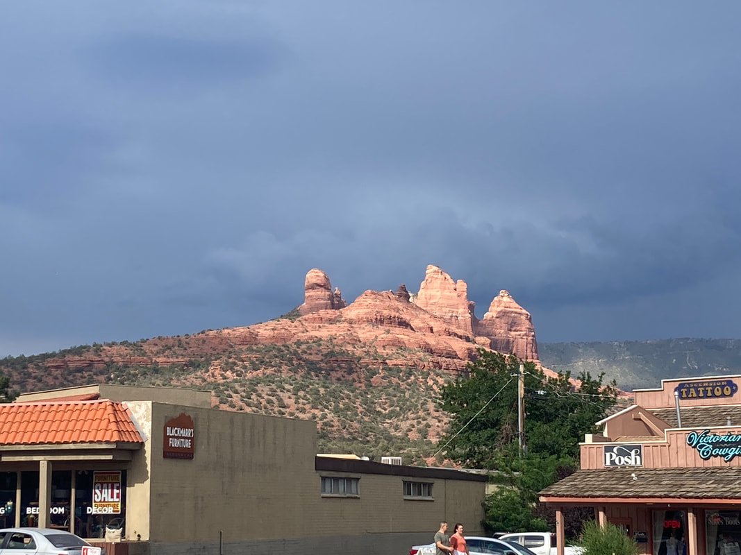
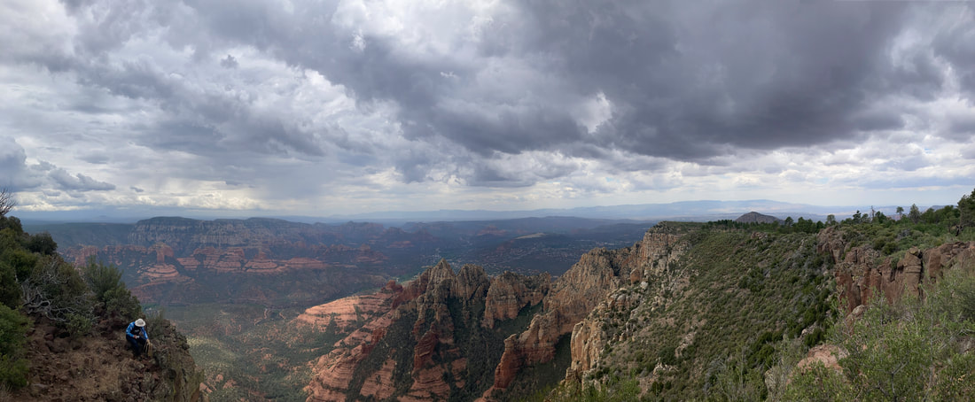
Wilson Mountain on the North side of Sedona
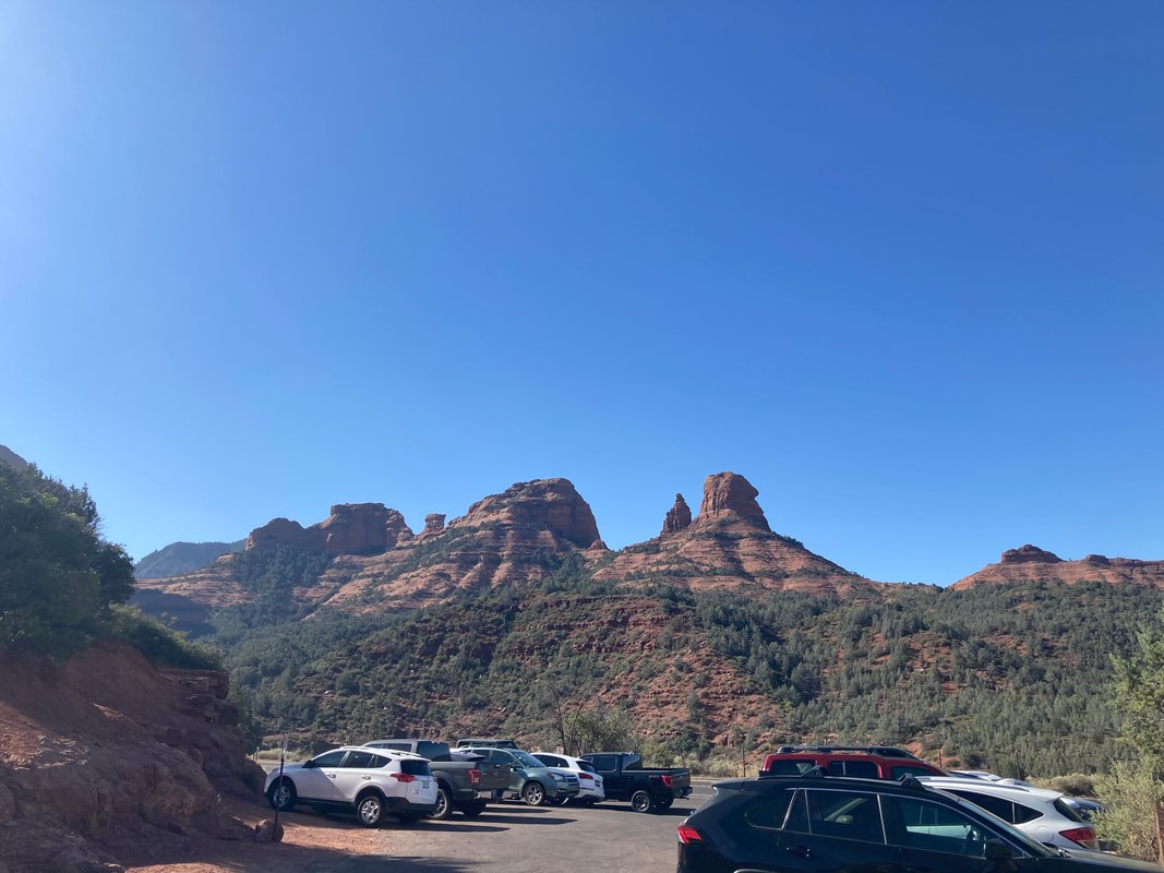
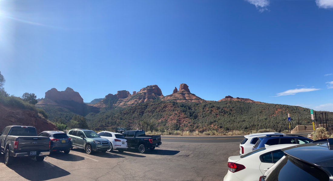
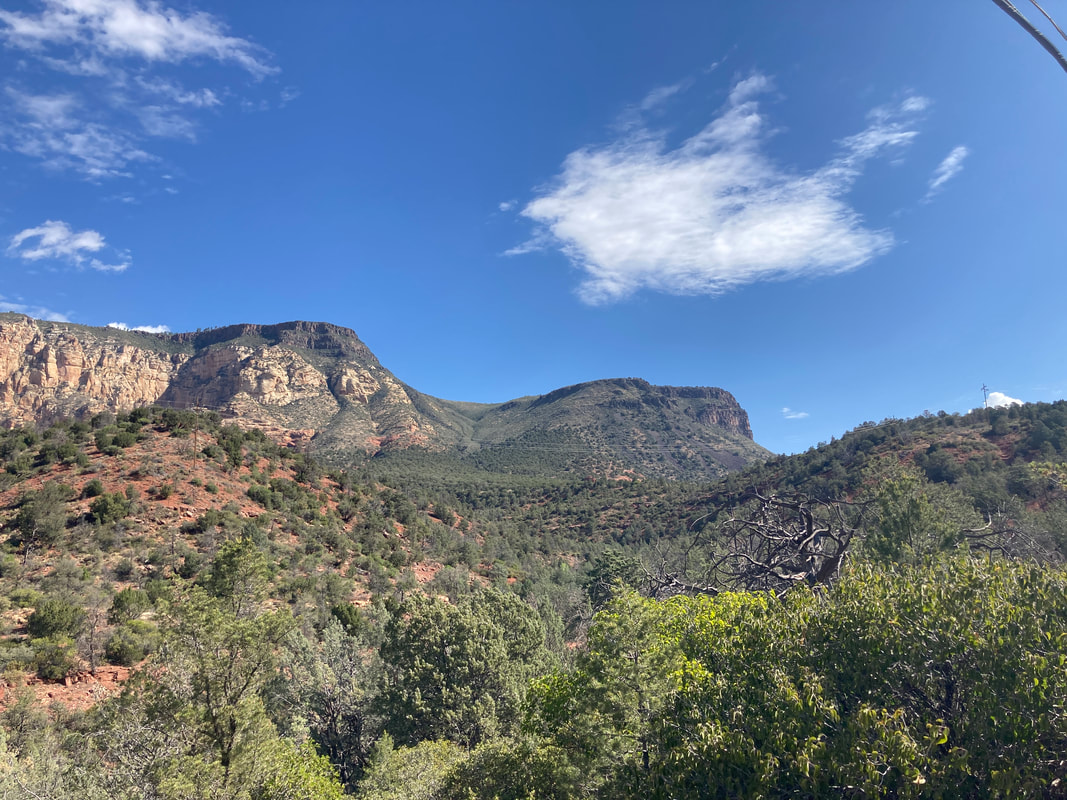
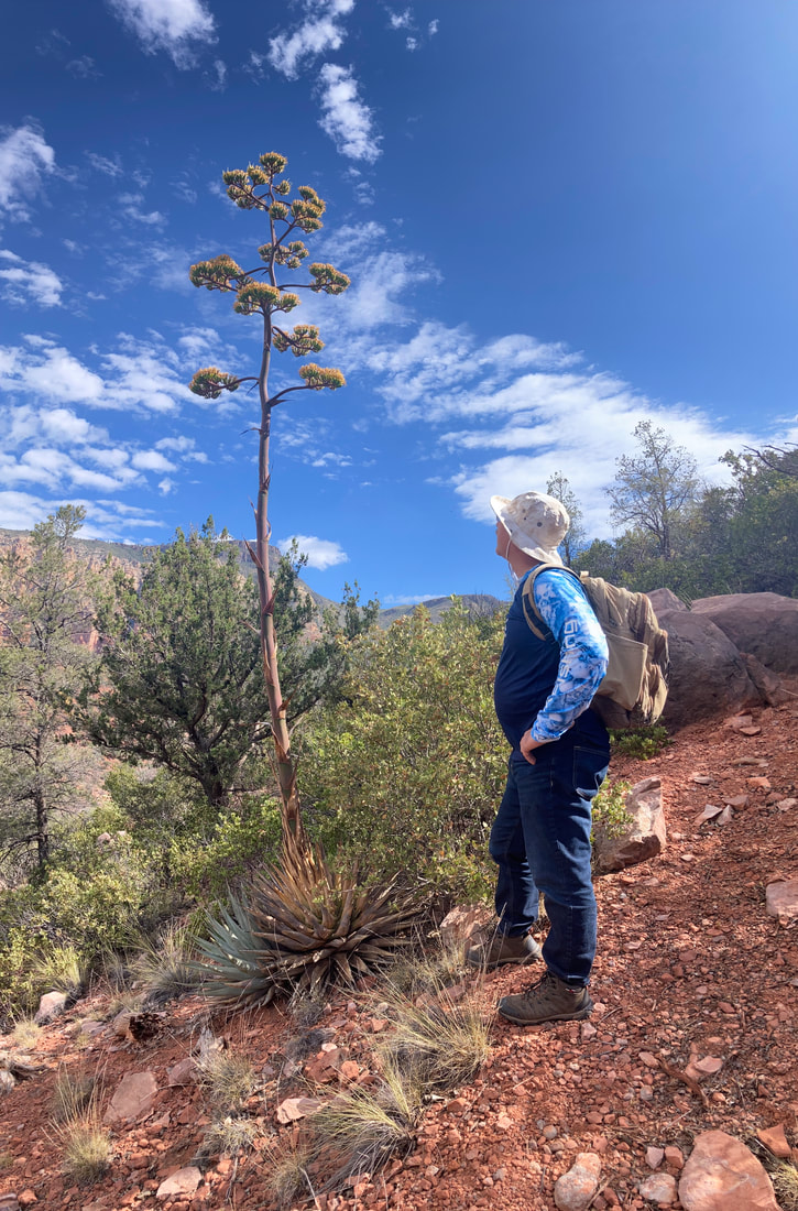
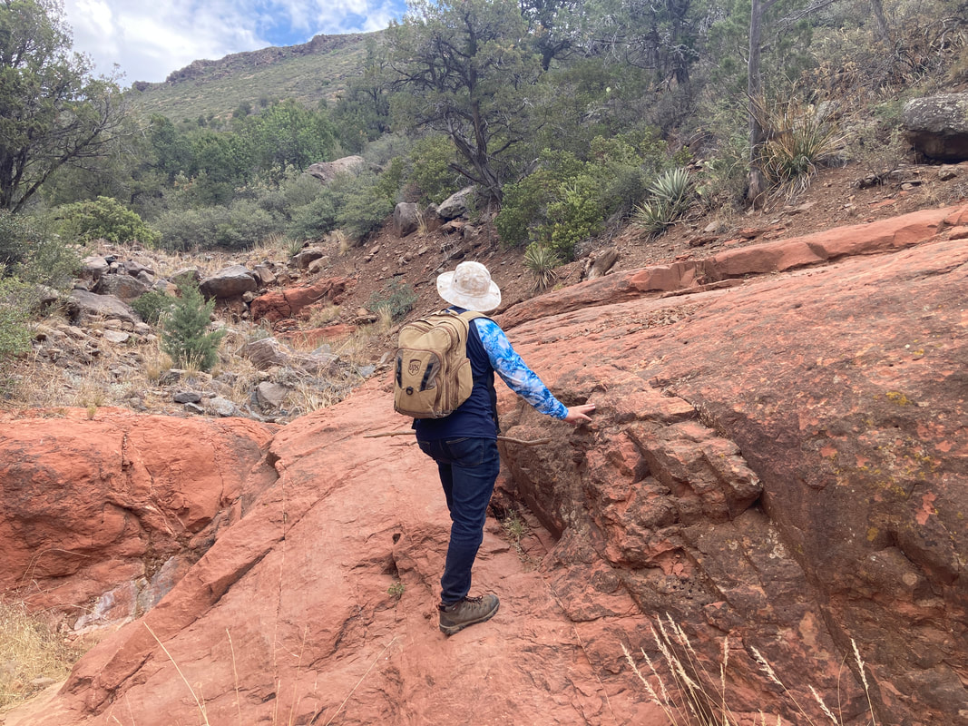
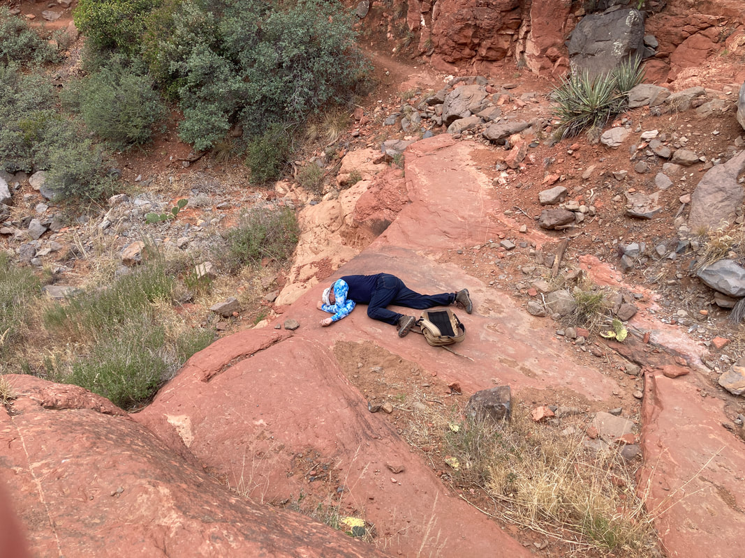
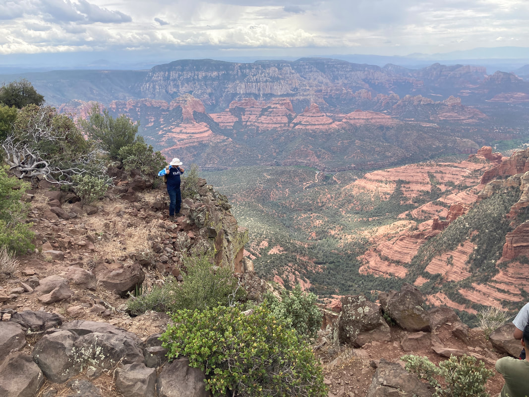
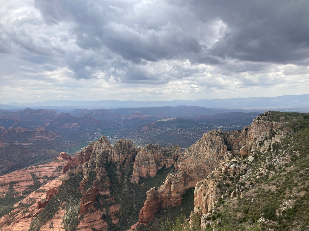
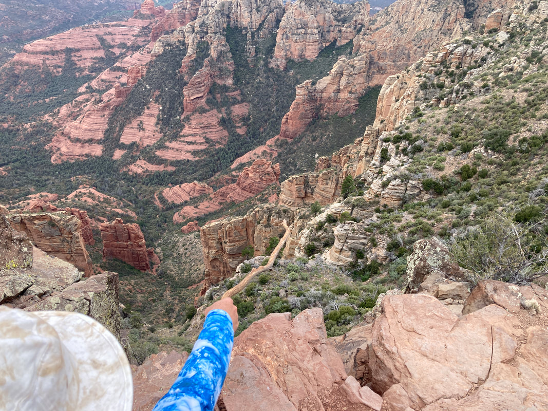
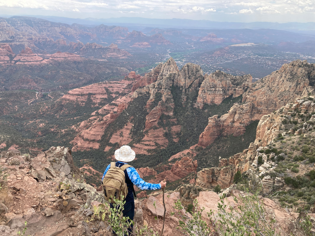
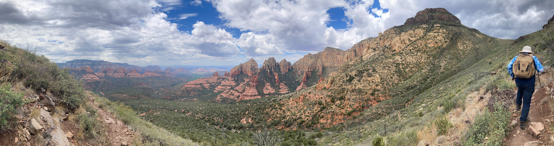
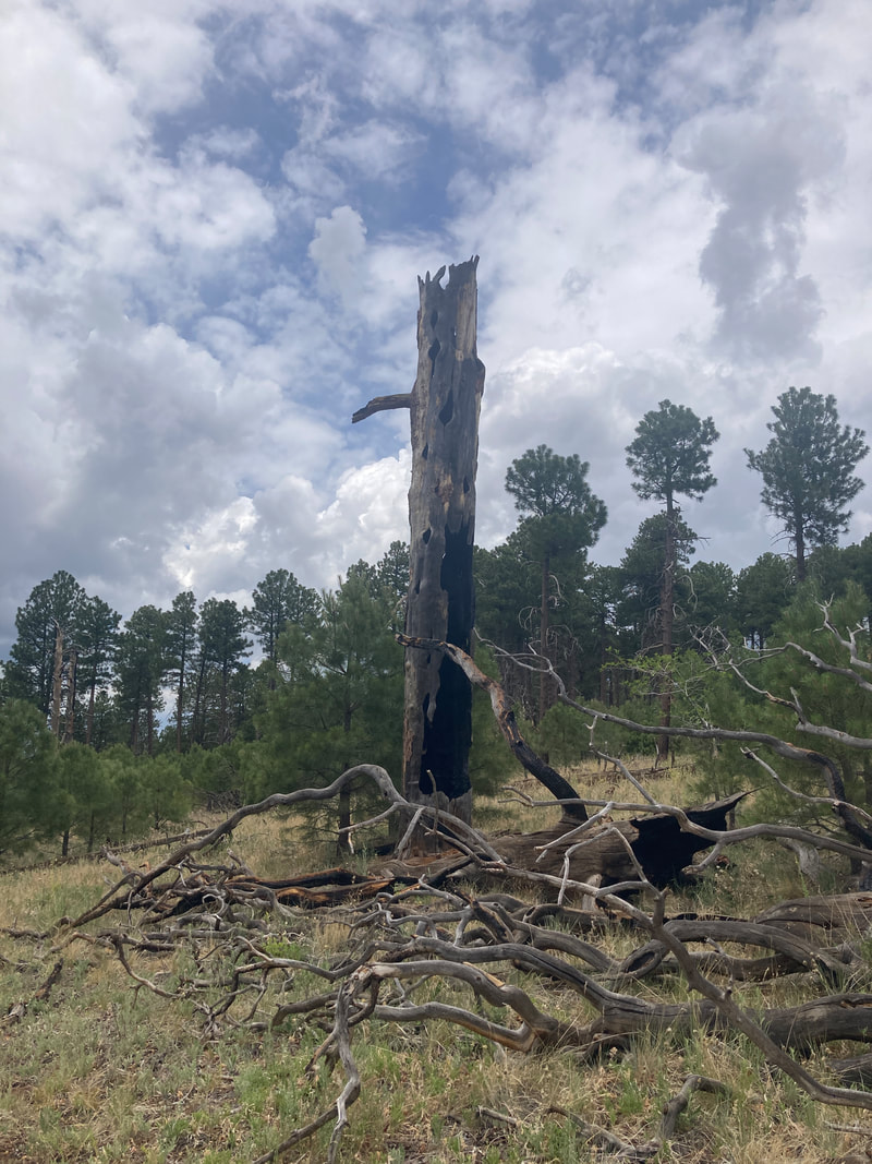
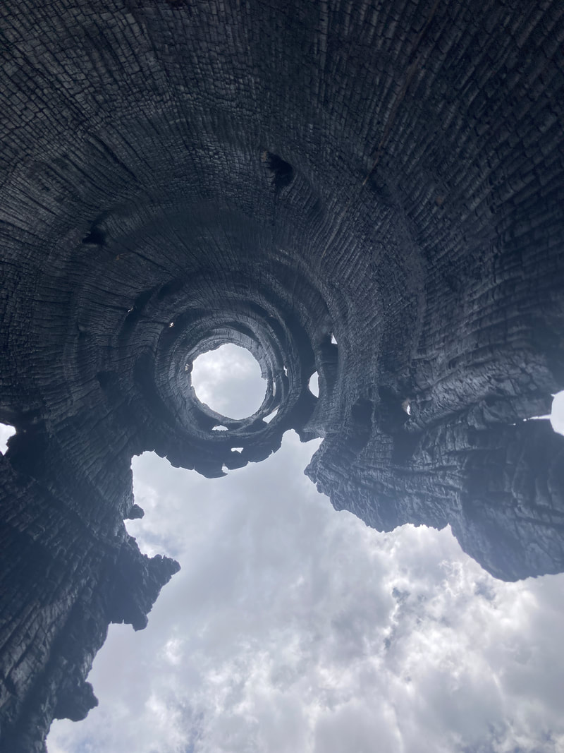
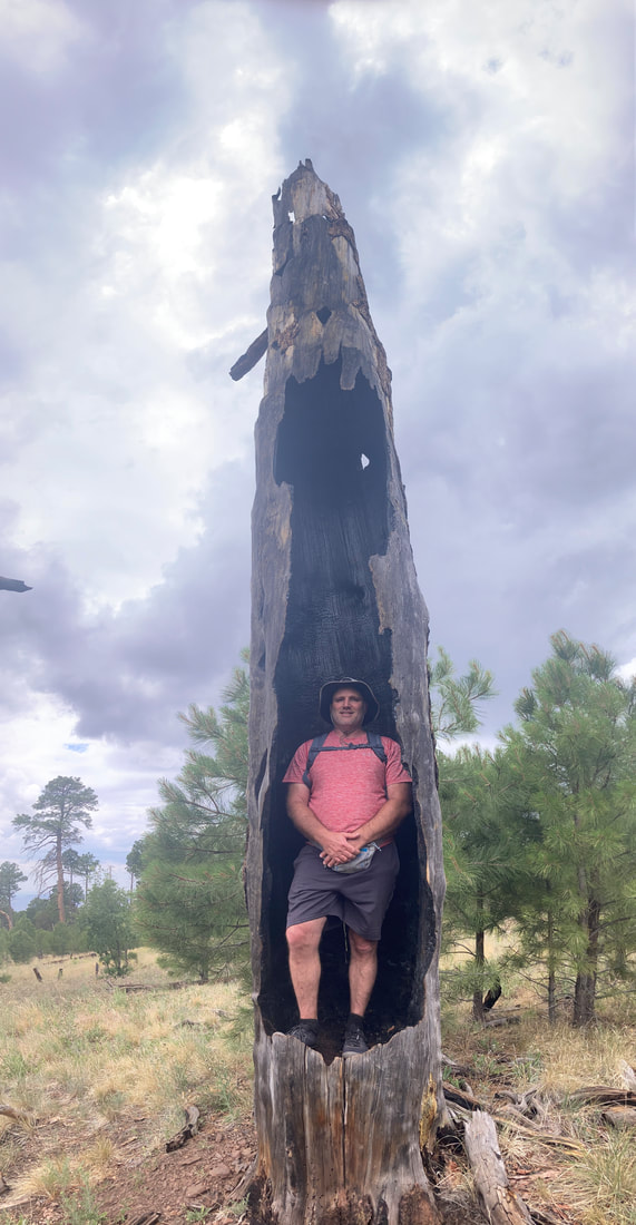
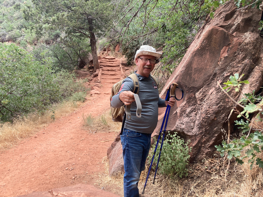
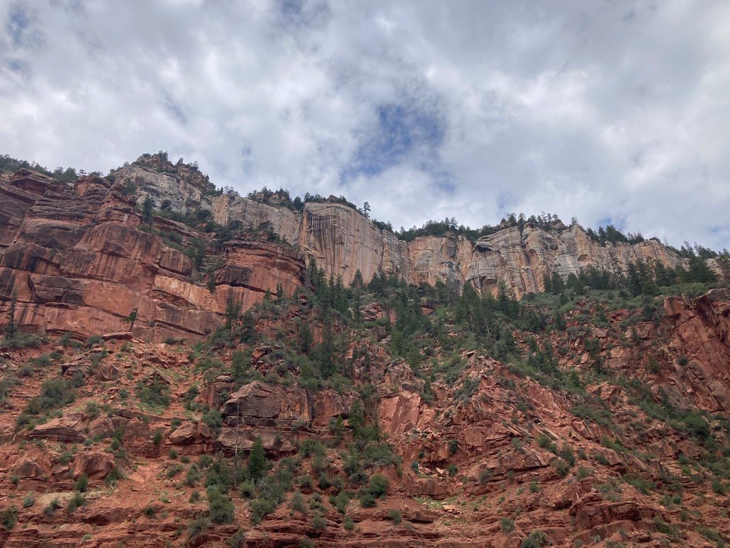
Ate breakfast at ihop. Hiked Wilson mountain on the north side of Sedona. The hike was challenging but worth while. Clouds, Sun, rain, and wind. Put shoes on before first bench. Dinning in Sedona made my wallet weep.
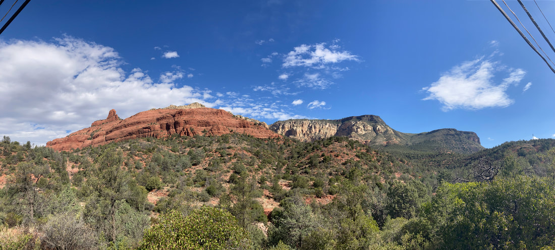
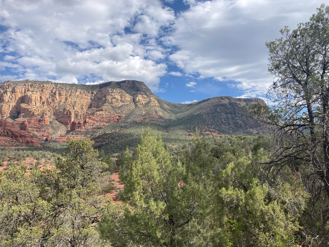
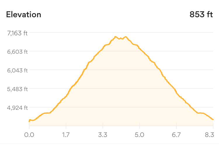
Wilson Mountain is the higher green peak on the right. The trial switchbacks along the wash between the two green peaks. This was a nice but challenging warm up to our Arizona hikes. It took us about 4.5 hours to climb and descend 2500 feet. From the top, we have a beautiful view overlooking Sedona.
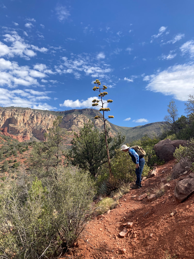
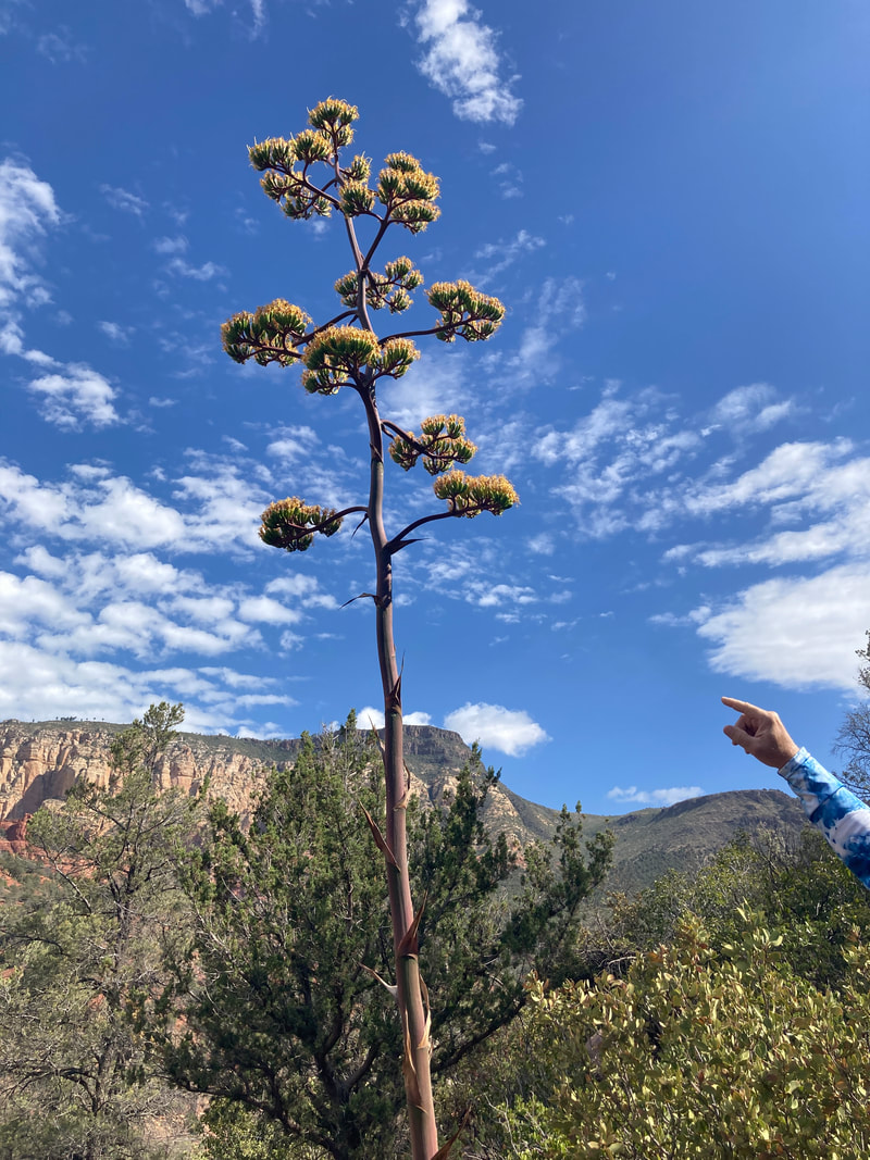
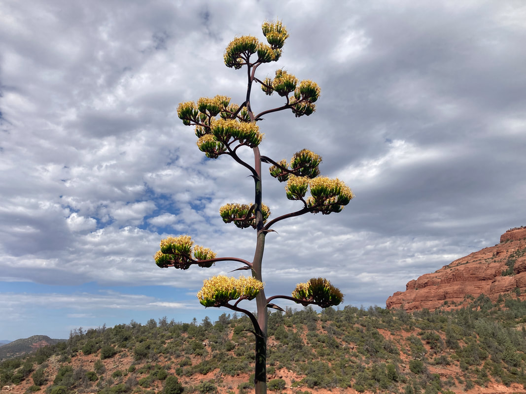
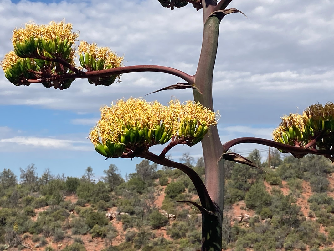
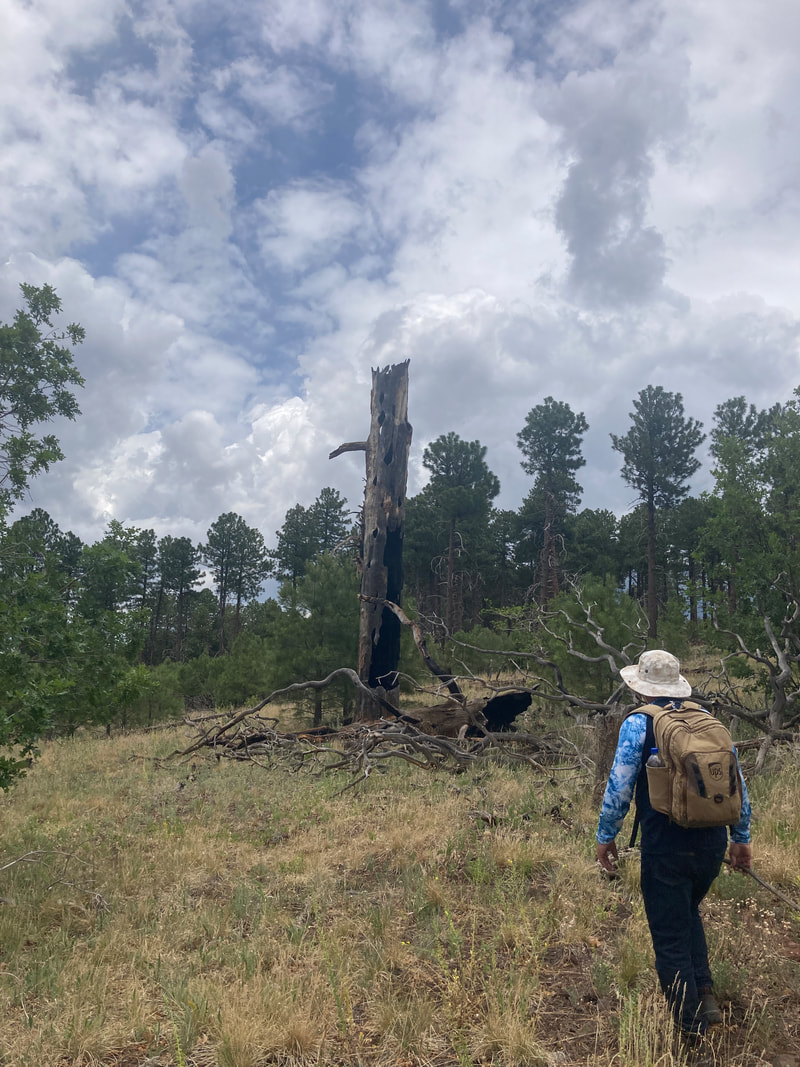
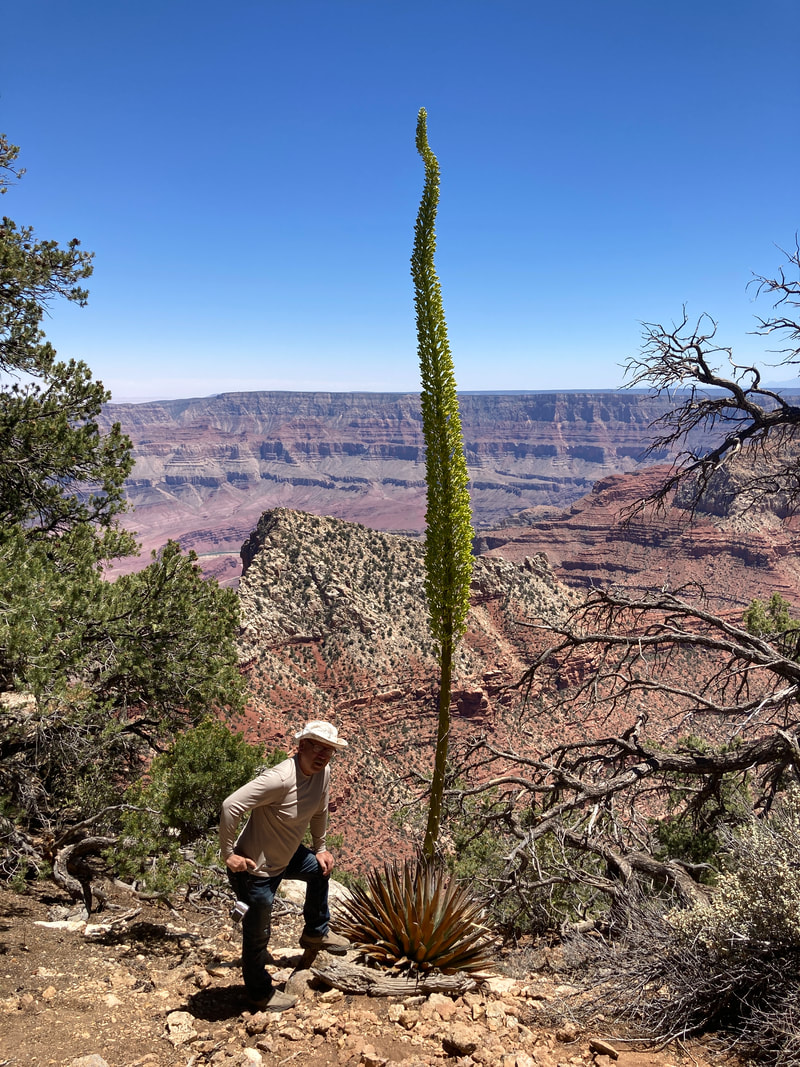
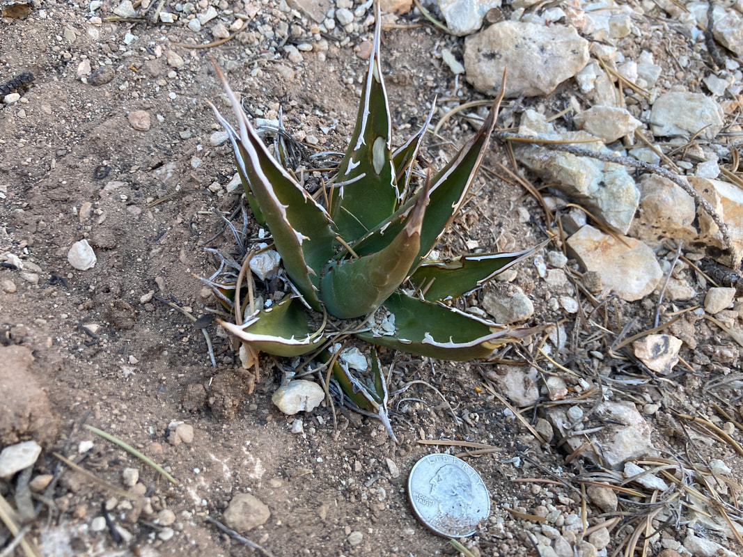
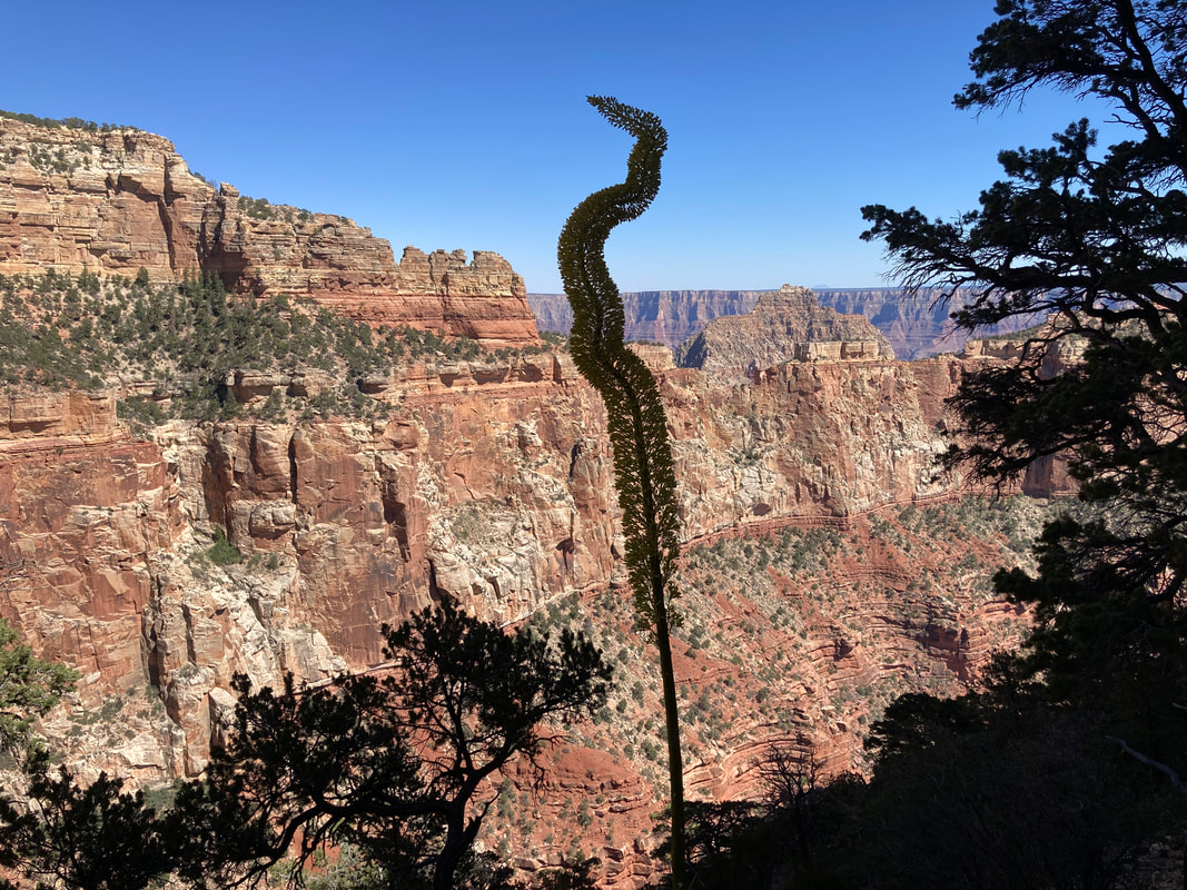
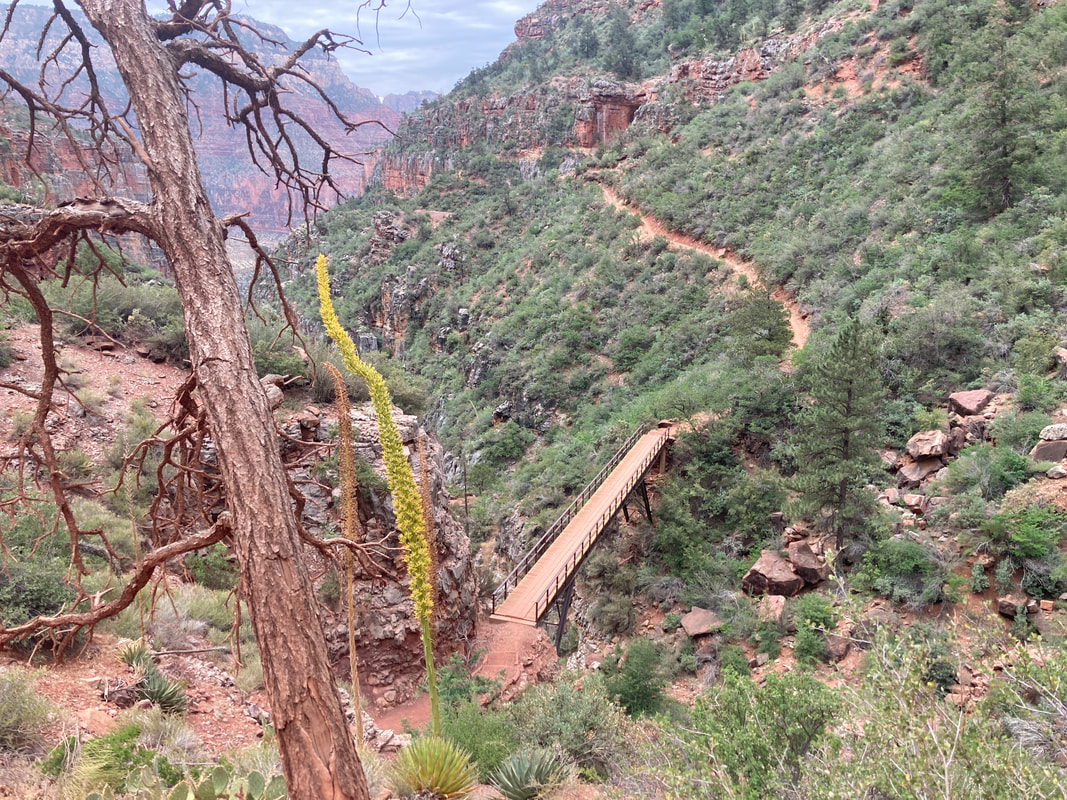
James had seen these flowers from a distance. We found out later that it is a Utah Agave plant.
|
|
|

|
|
|
|

|
|
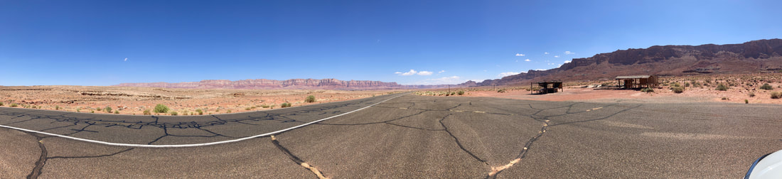
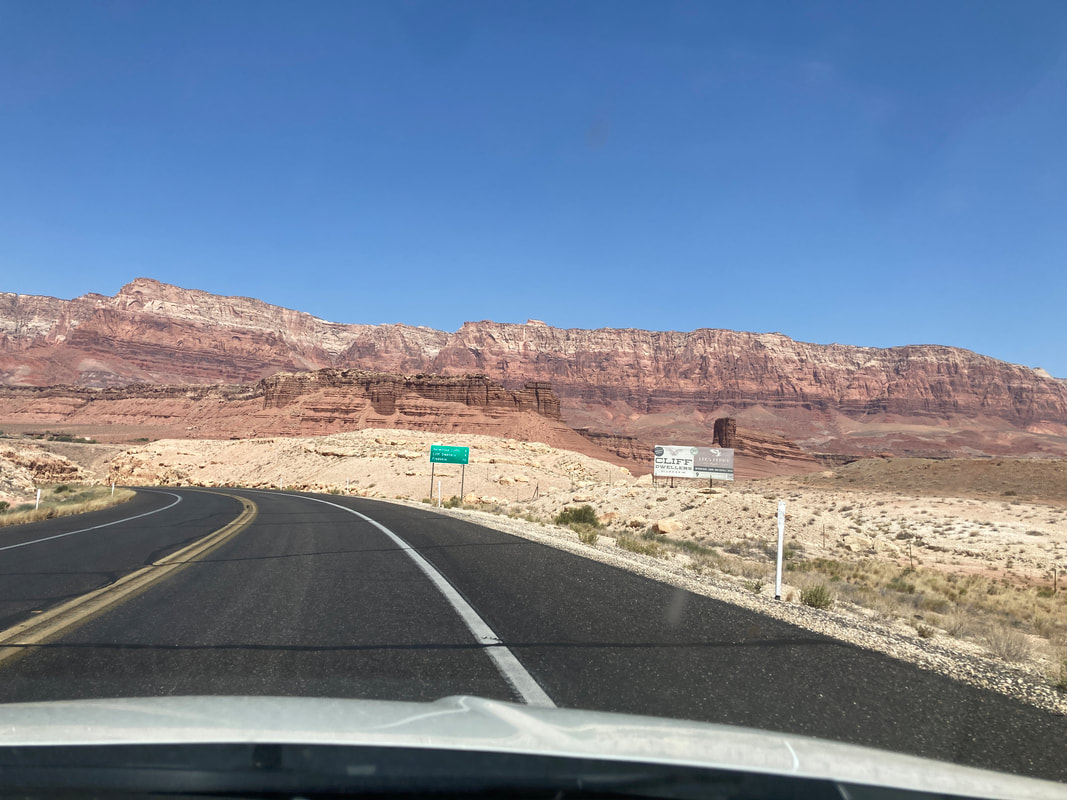
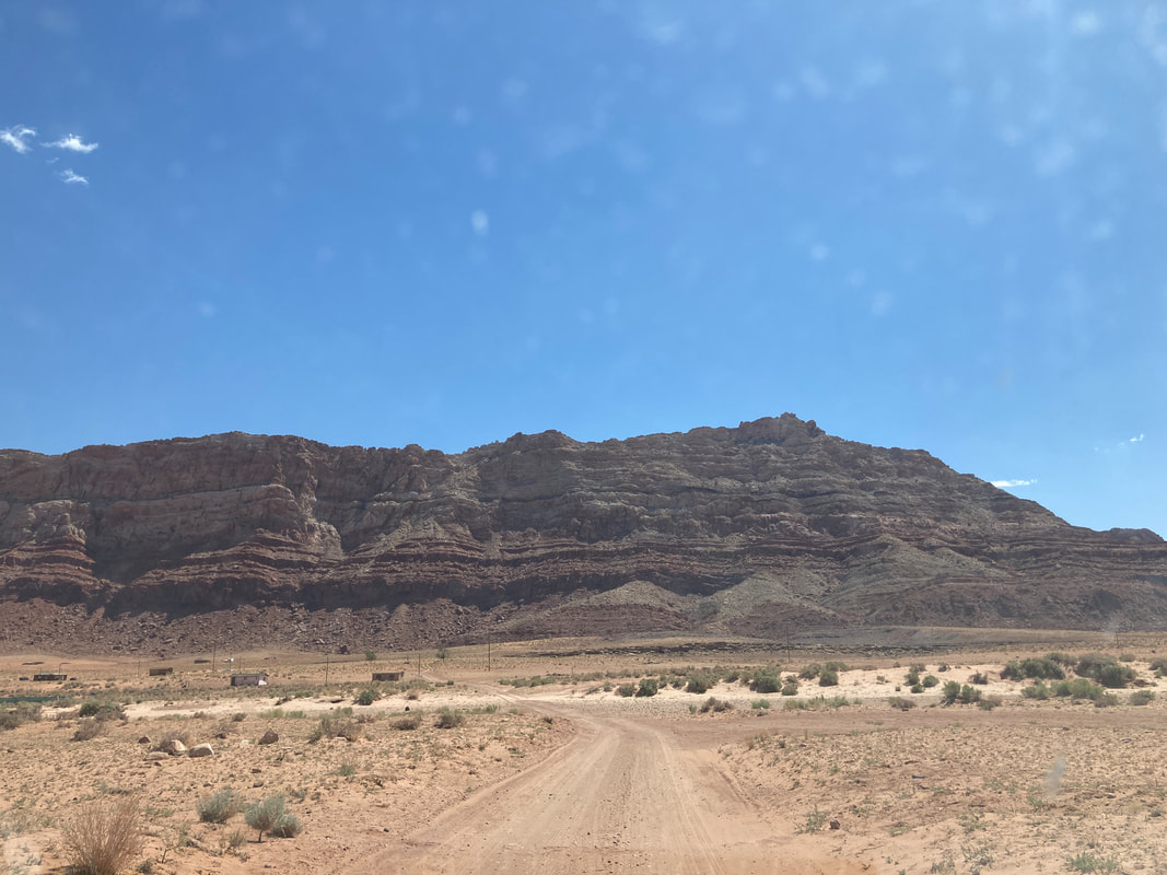
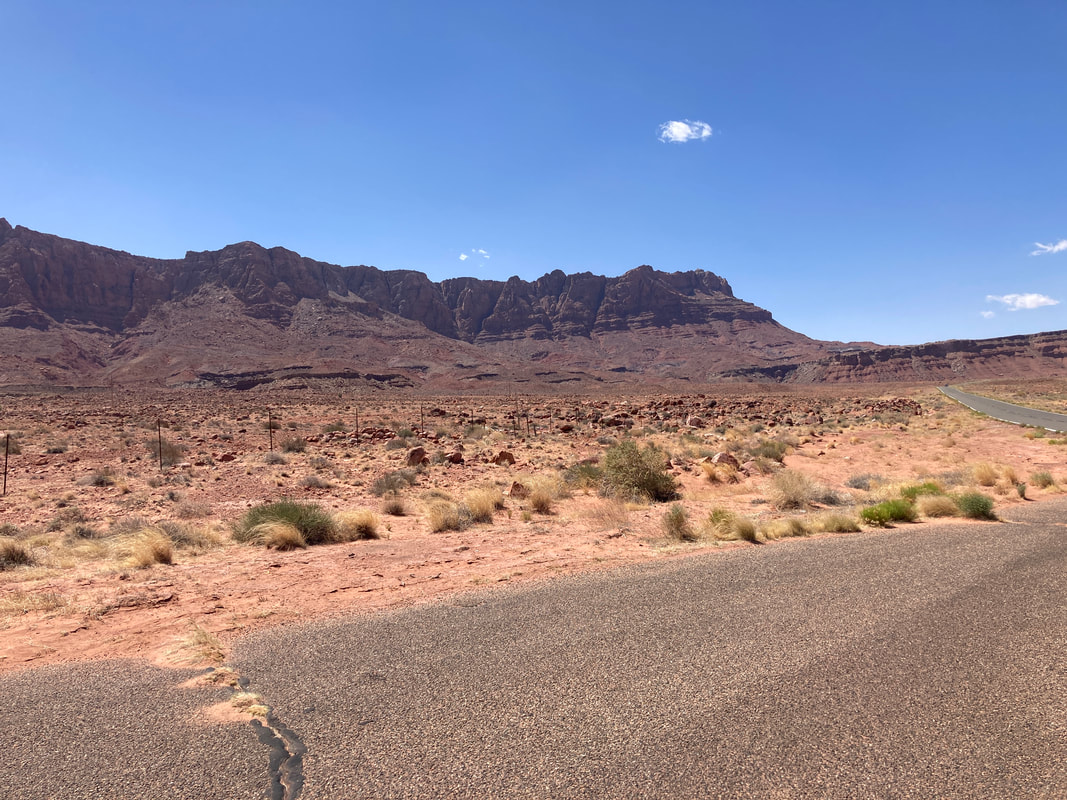
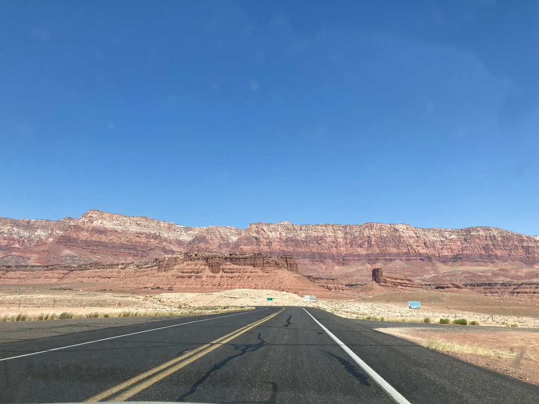
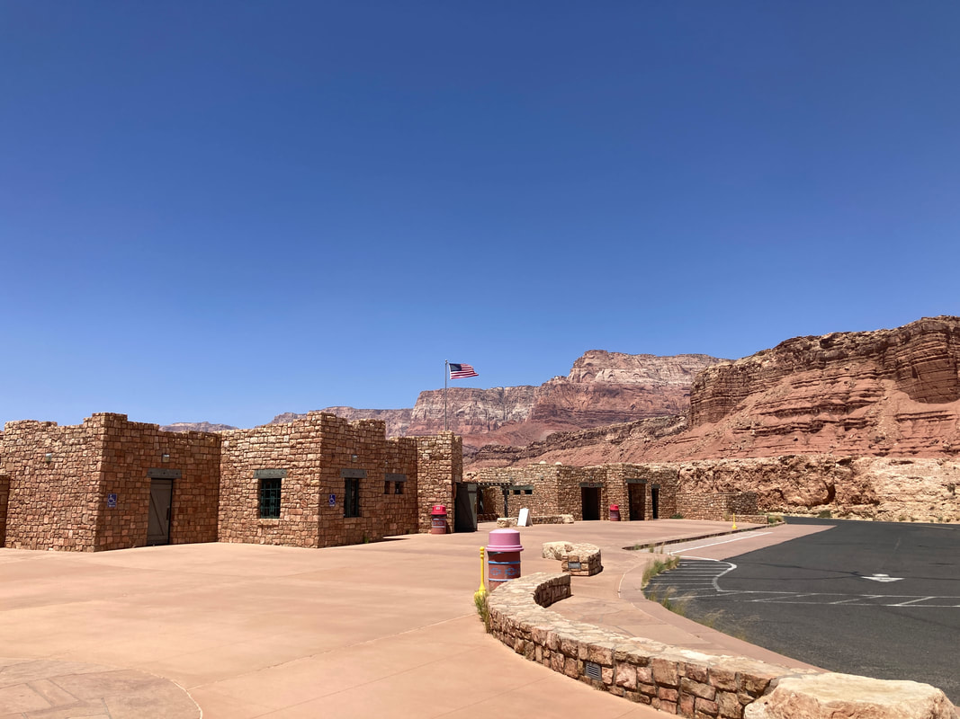
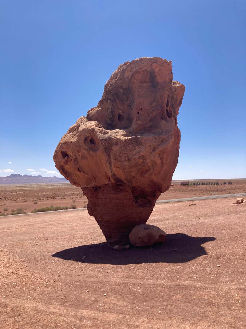
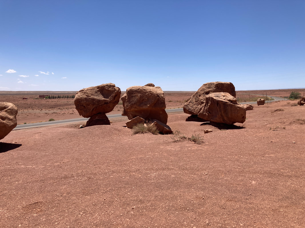
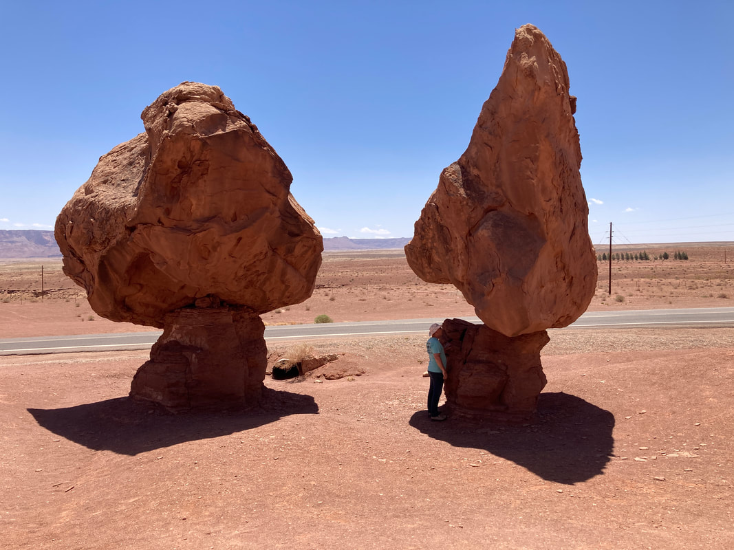
From Flagstaff to Jacob Lake
|

|
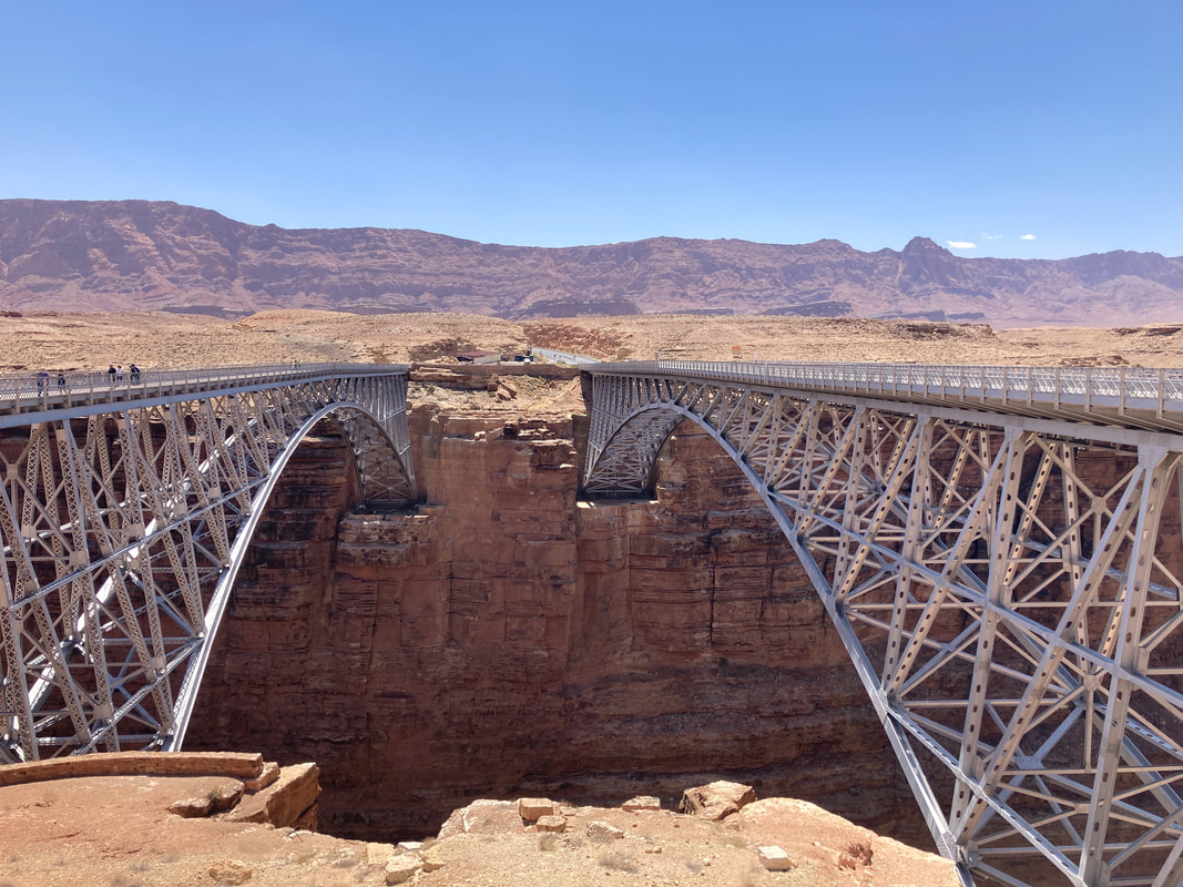
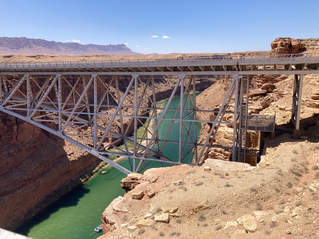
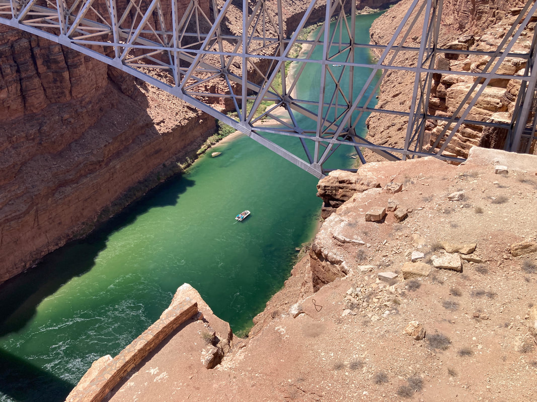
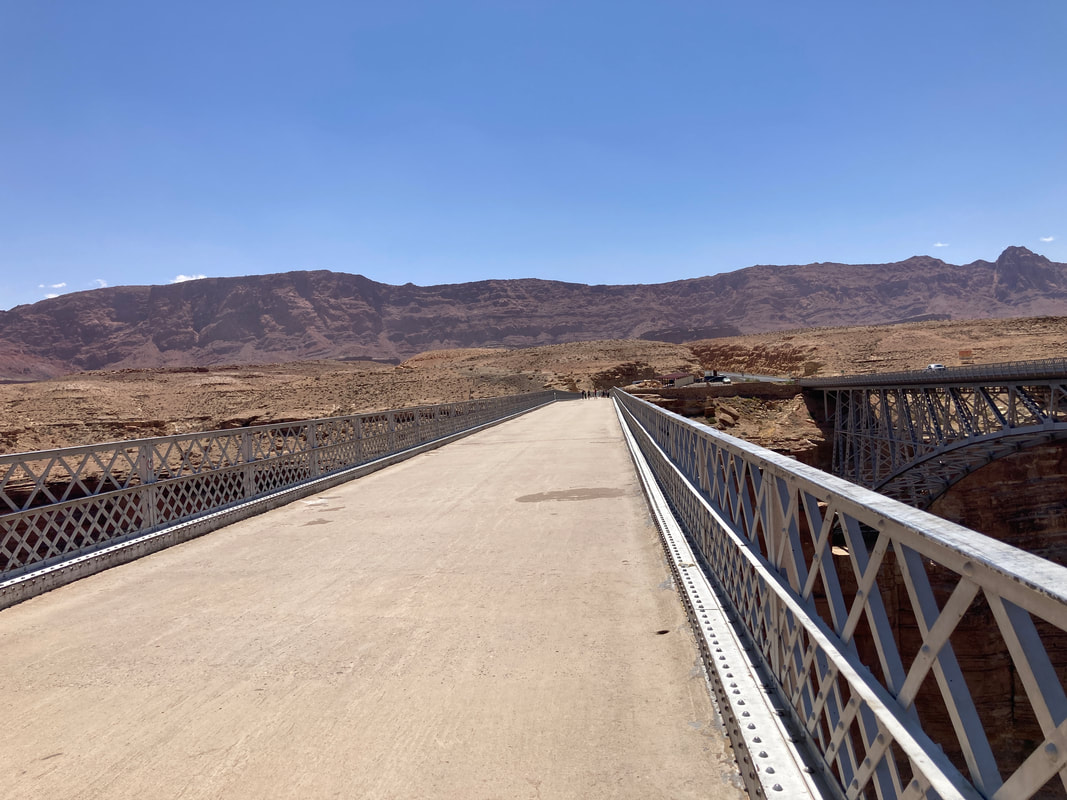
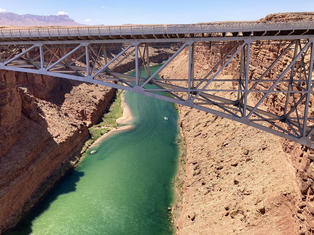
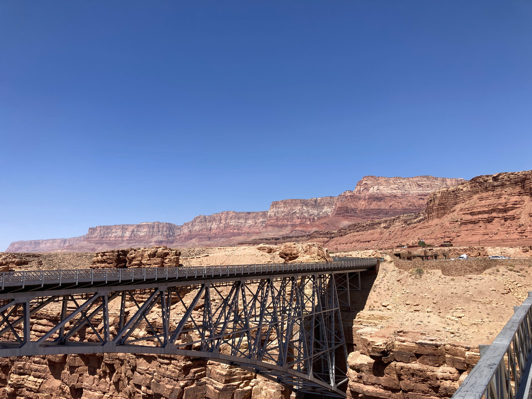
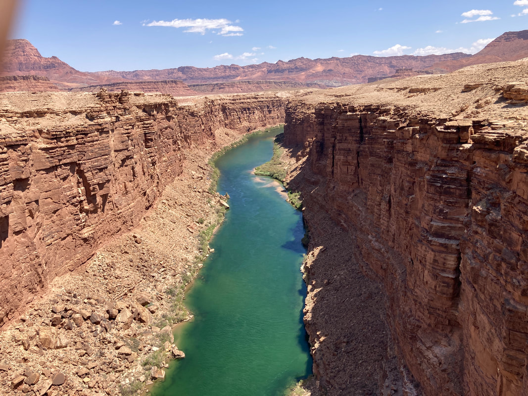
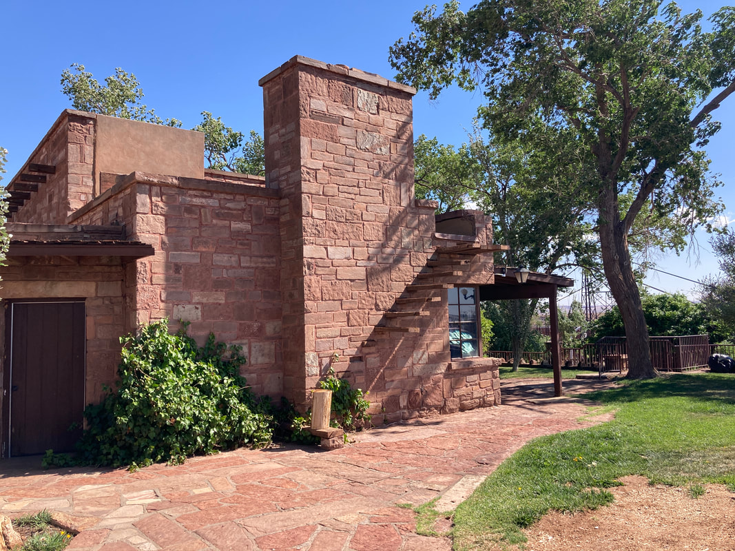
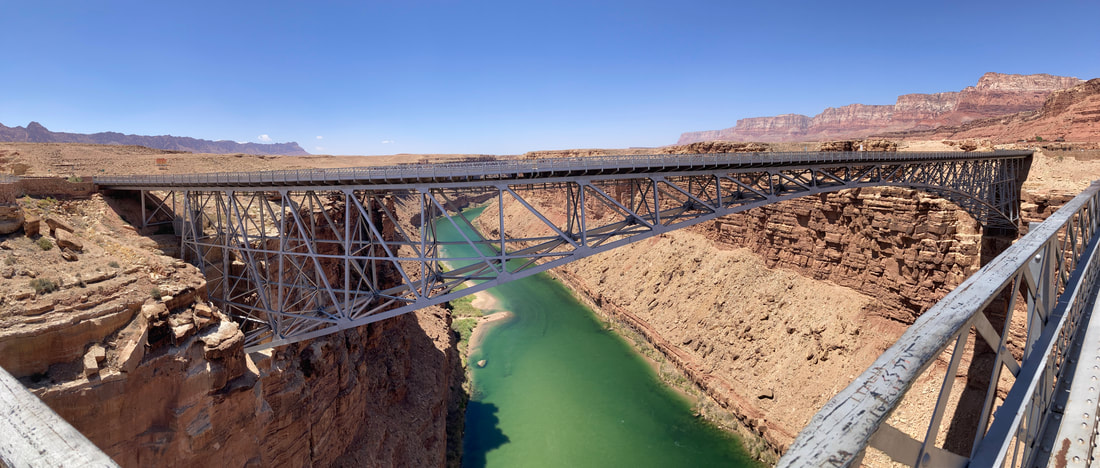
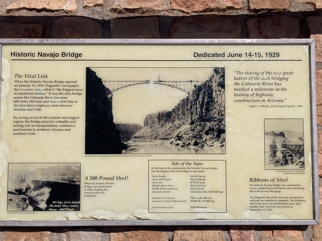
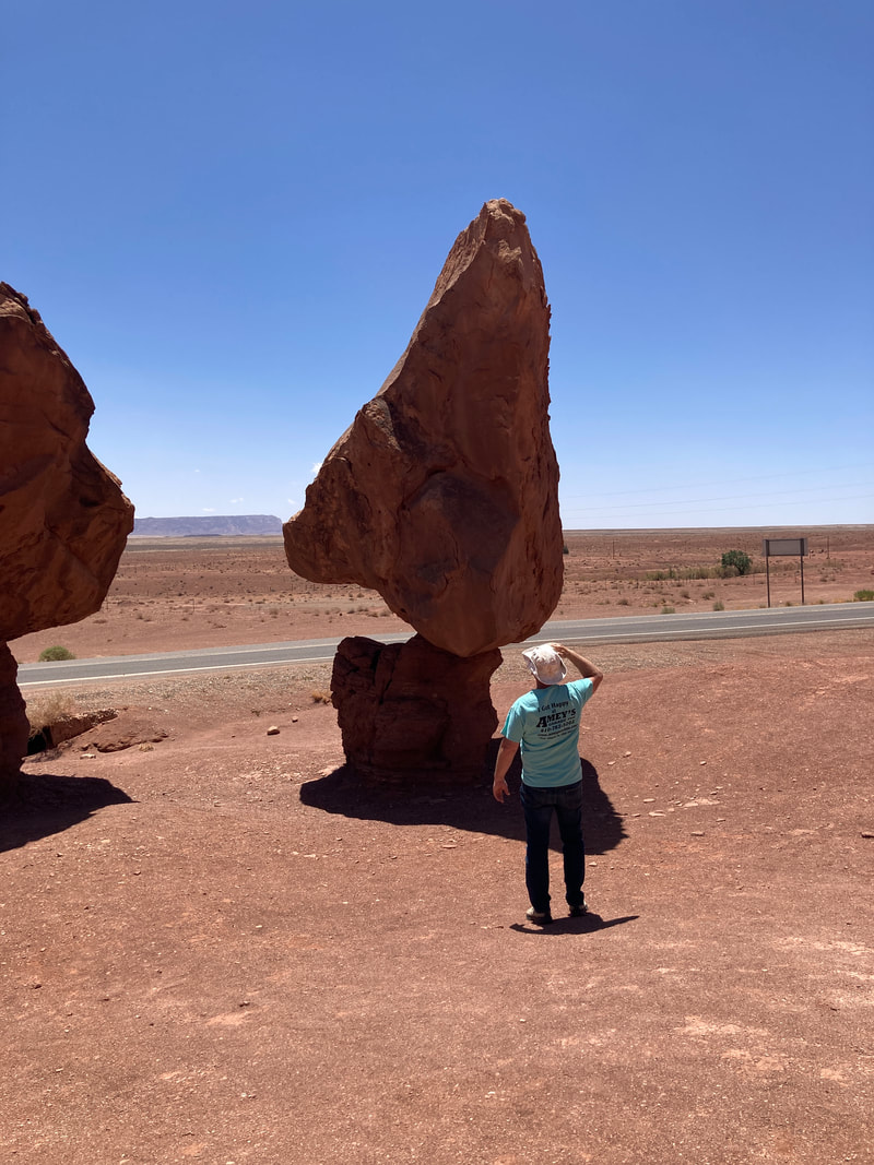
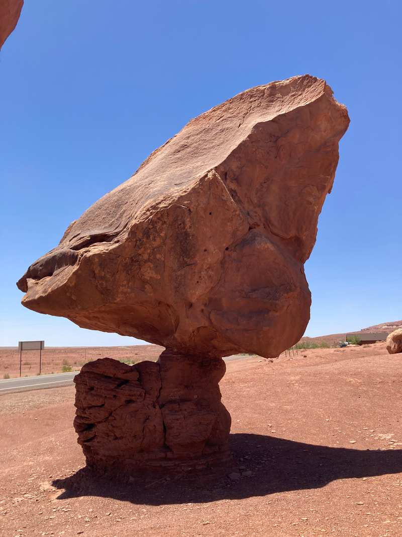
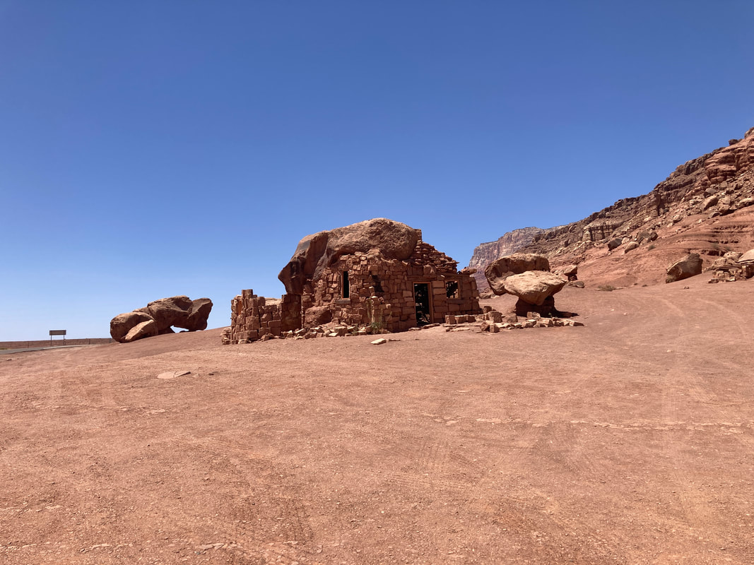
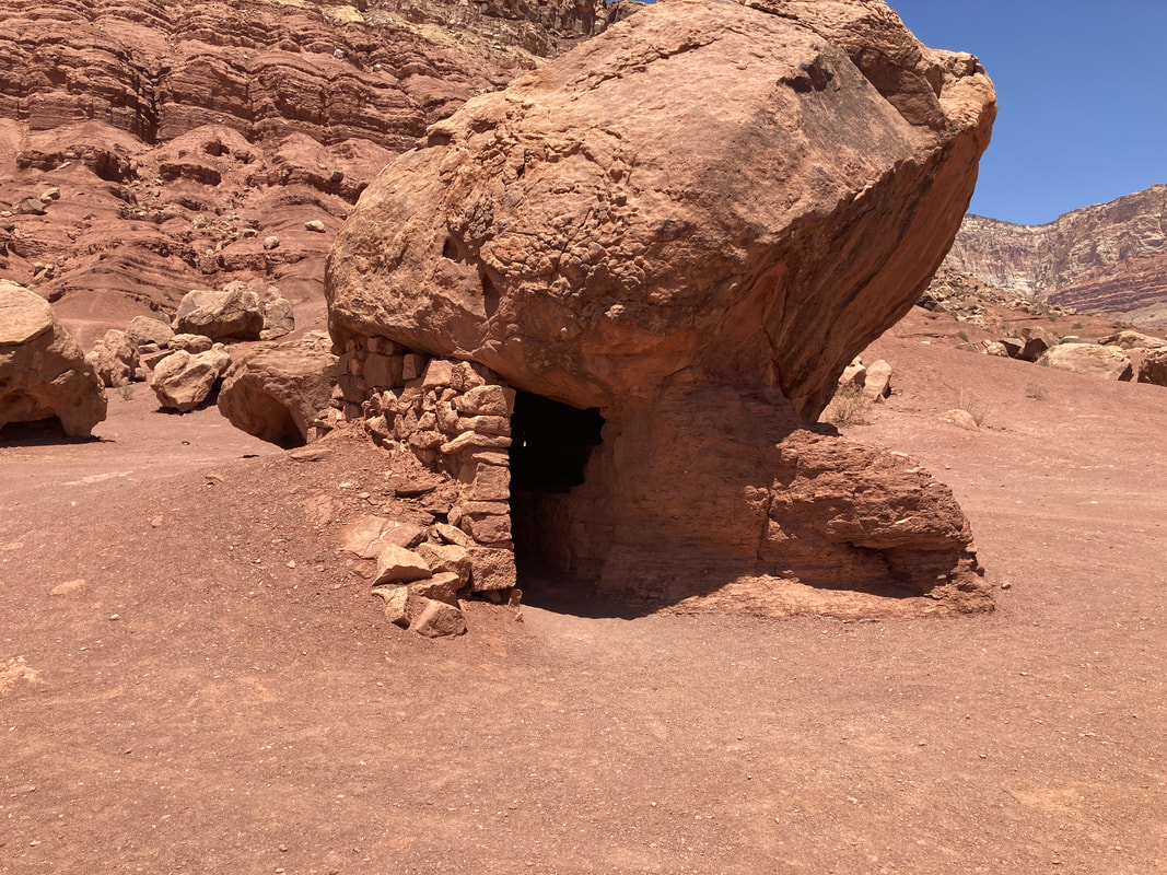
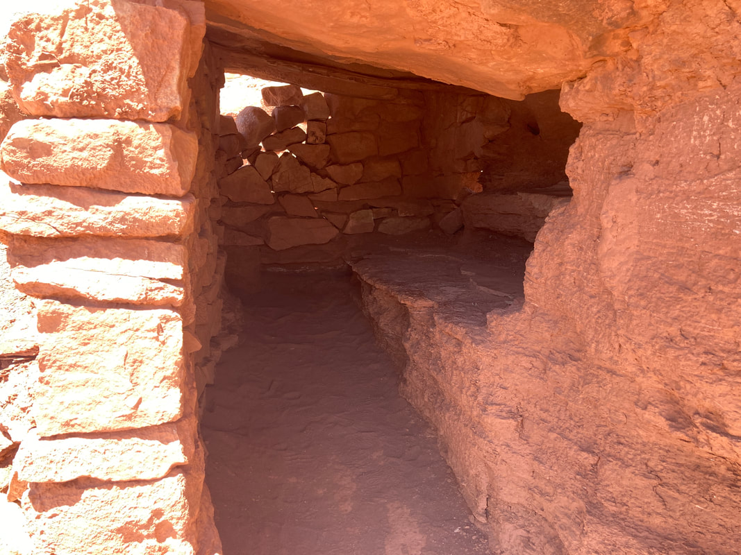
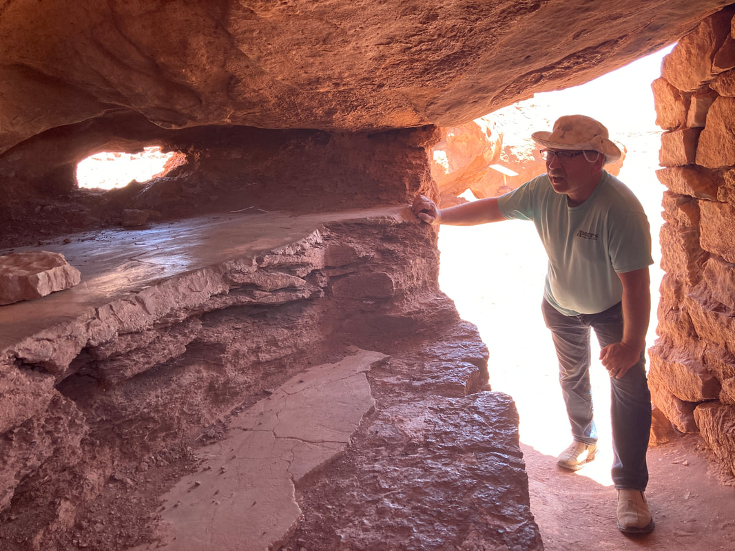
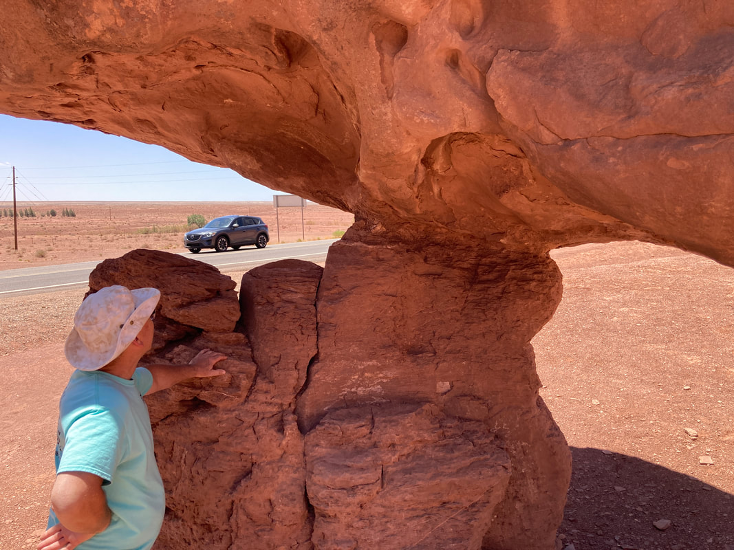
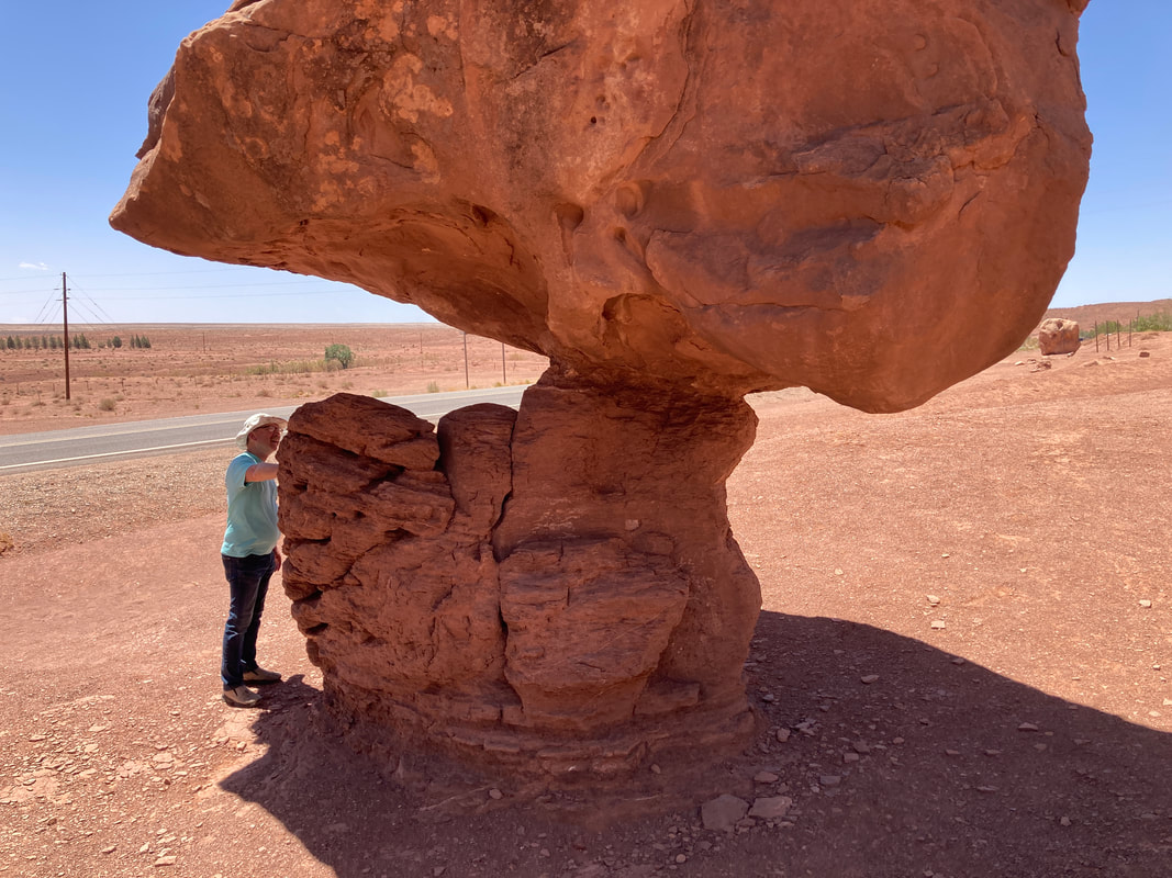
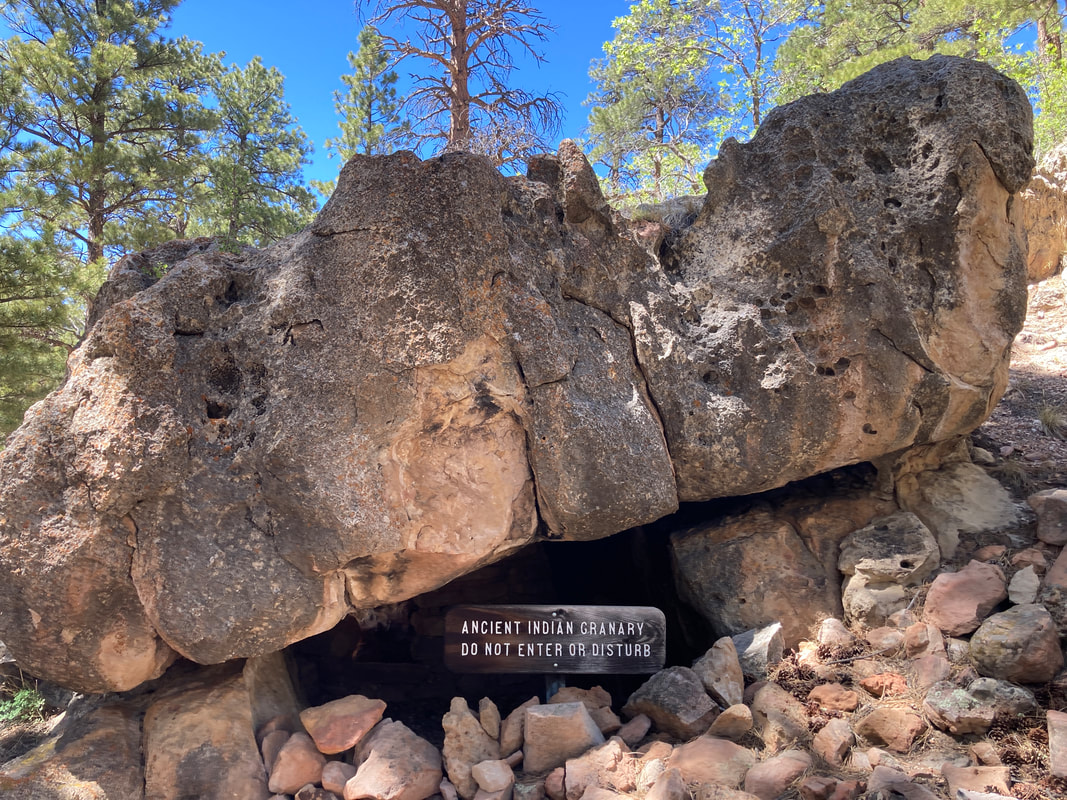
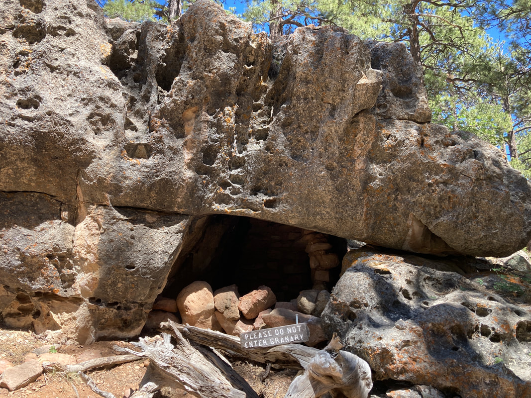
Cliff Dwellings at the Vermillion Cliffs
|
|
|
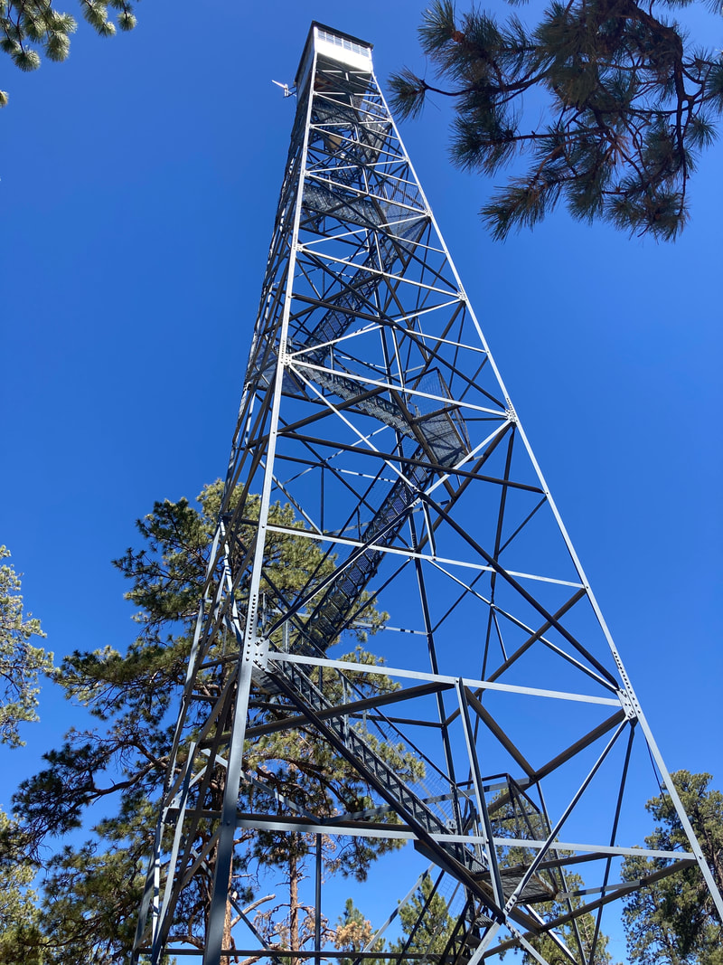
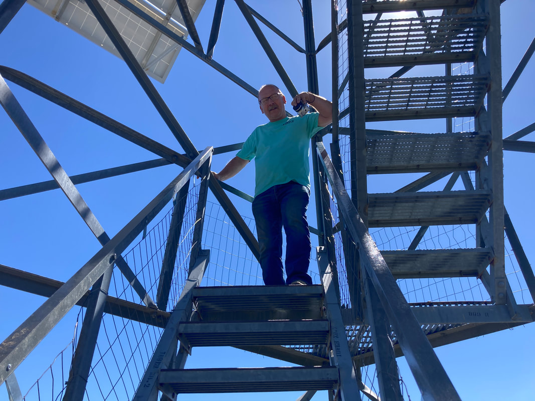
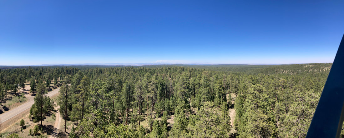
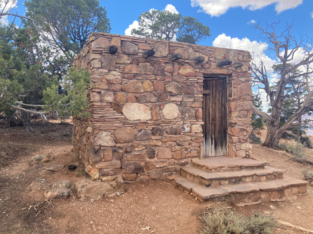
Jacob Lake fire watch tower.
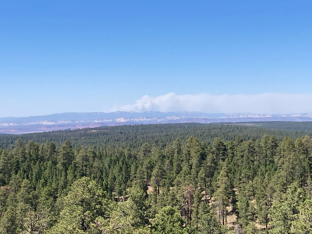
It was extremely windy and we could see the smoke from the fire at Bryce Canyon.
|
|
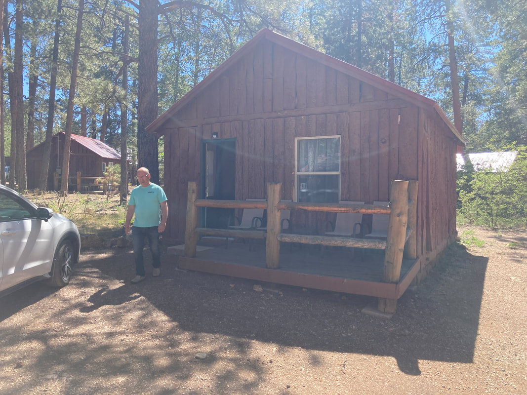
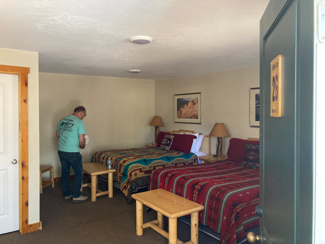
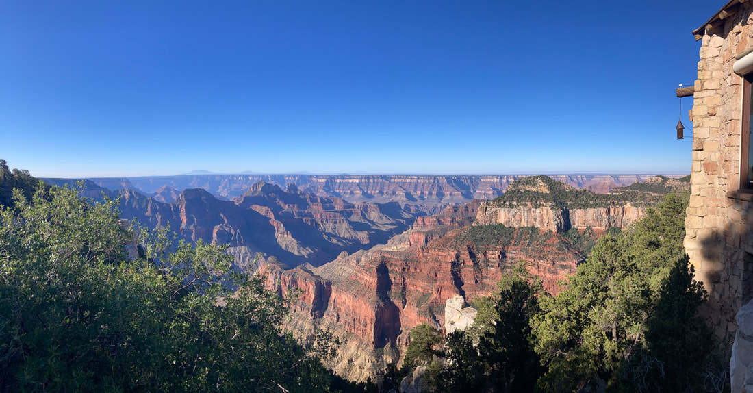
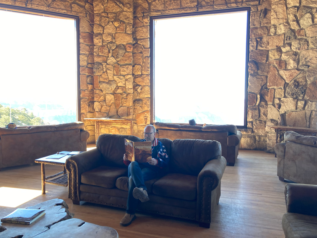
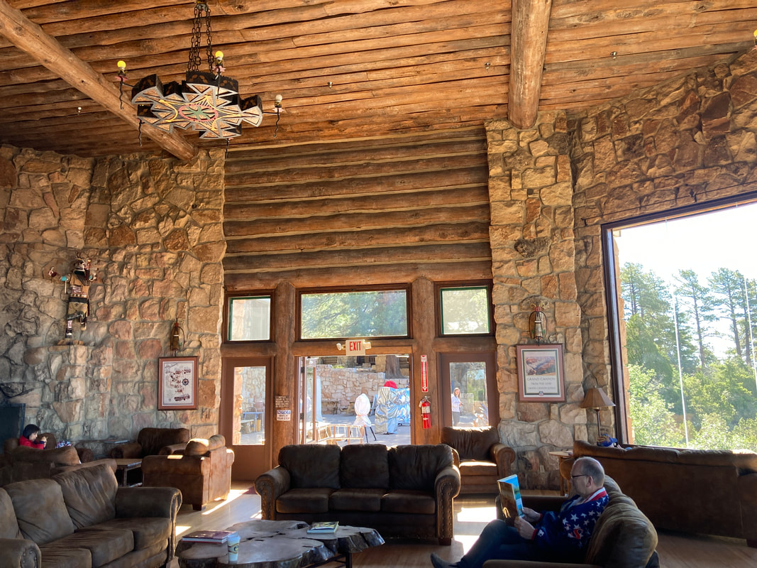
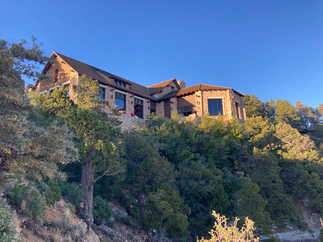
Our accommodations at Jacob Lake Lodge
At the North Rim |
| ||
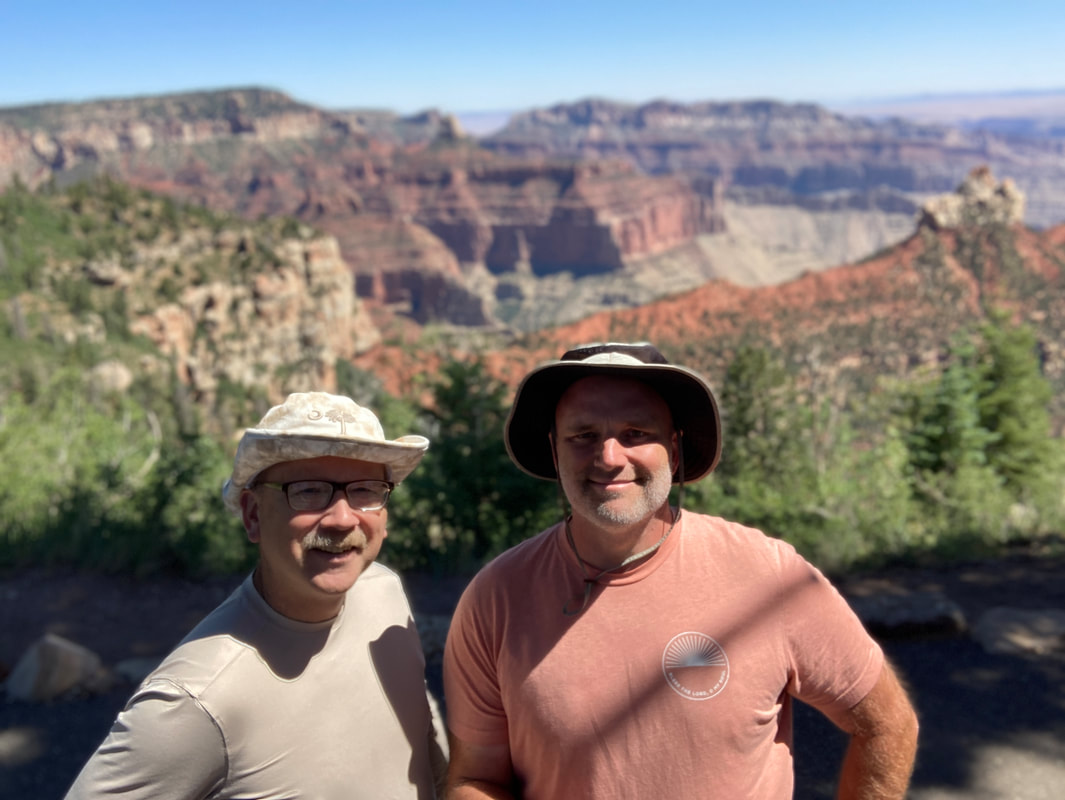
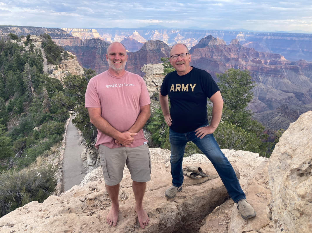
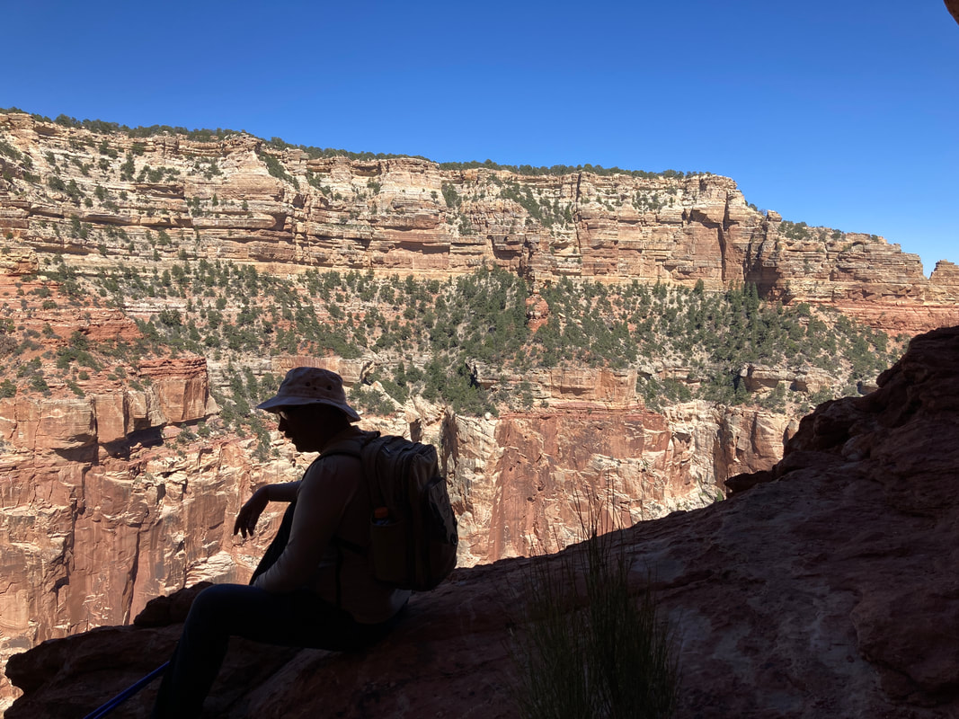
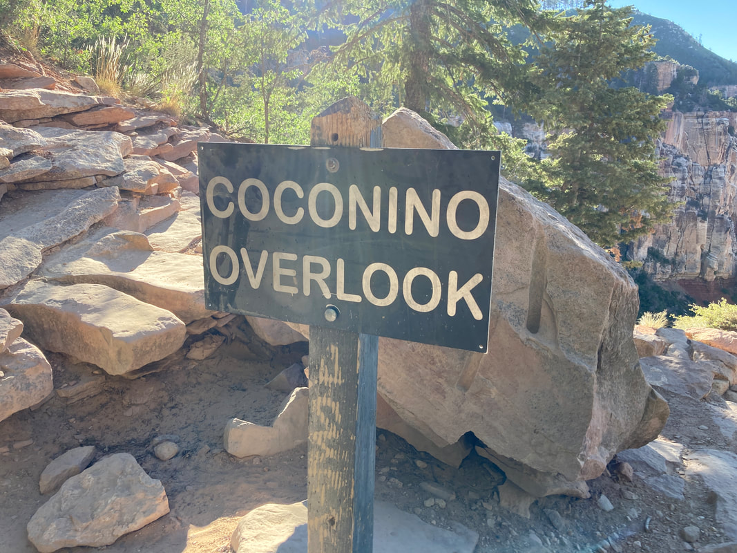
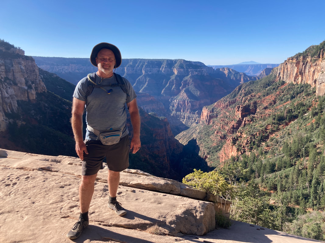
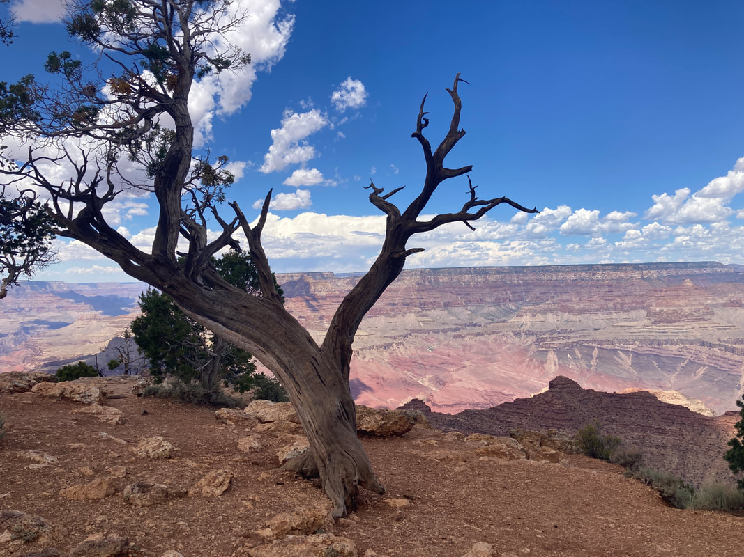
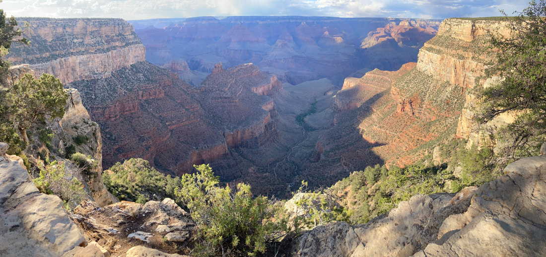
My first views of the Grand Canyon. We met a couple from near Bethesda, Md. he is a retired UPS driver. Drove to Cape Royal with many stops along the way. Hiked past the spring looking for red wall but we were above it. After diner at the deli, we hiked to Bright Angel point. After dark we saw the Milky Way, Summer Triangle, and the dippers. We could see the south rim village, Tusayan, and the airport. There was a hiker with a bright flashlight well bellow the south rim.
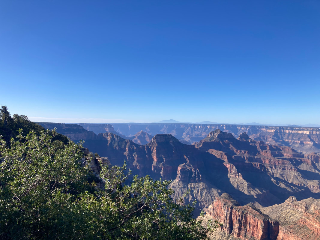
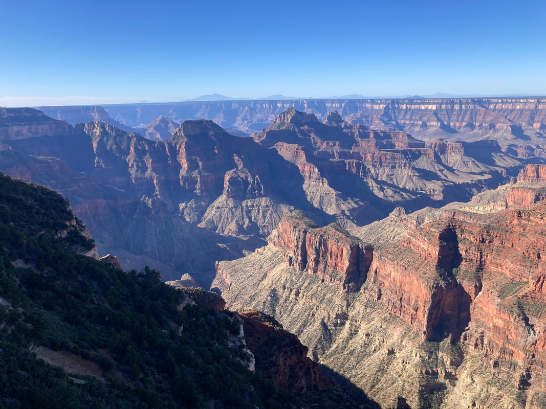
Bright Angel Point
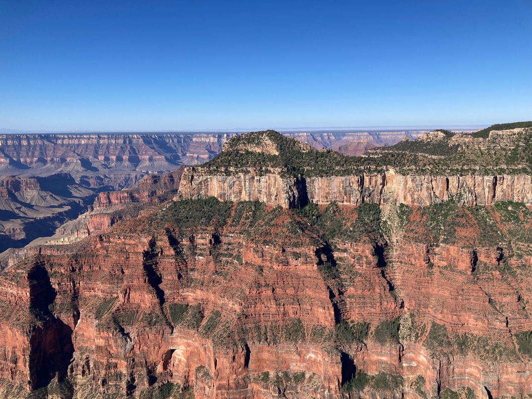
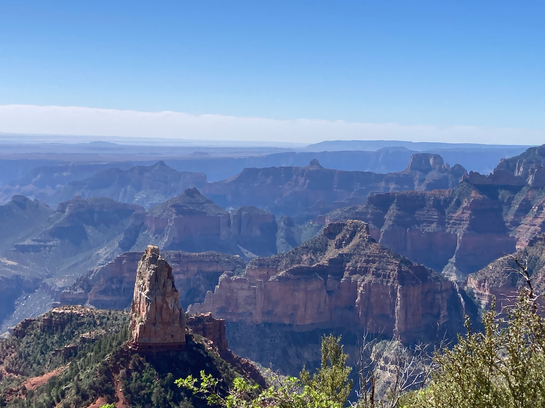
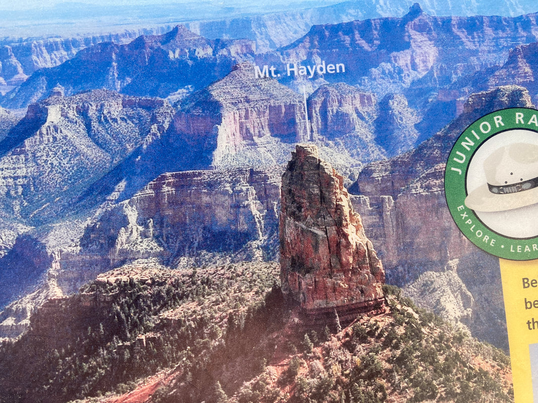
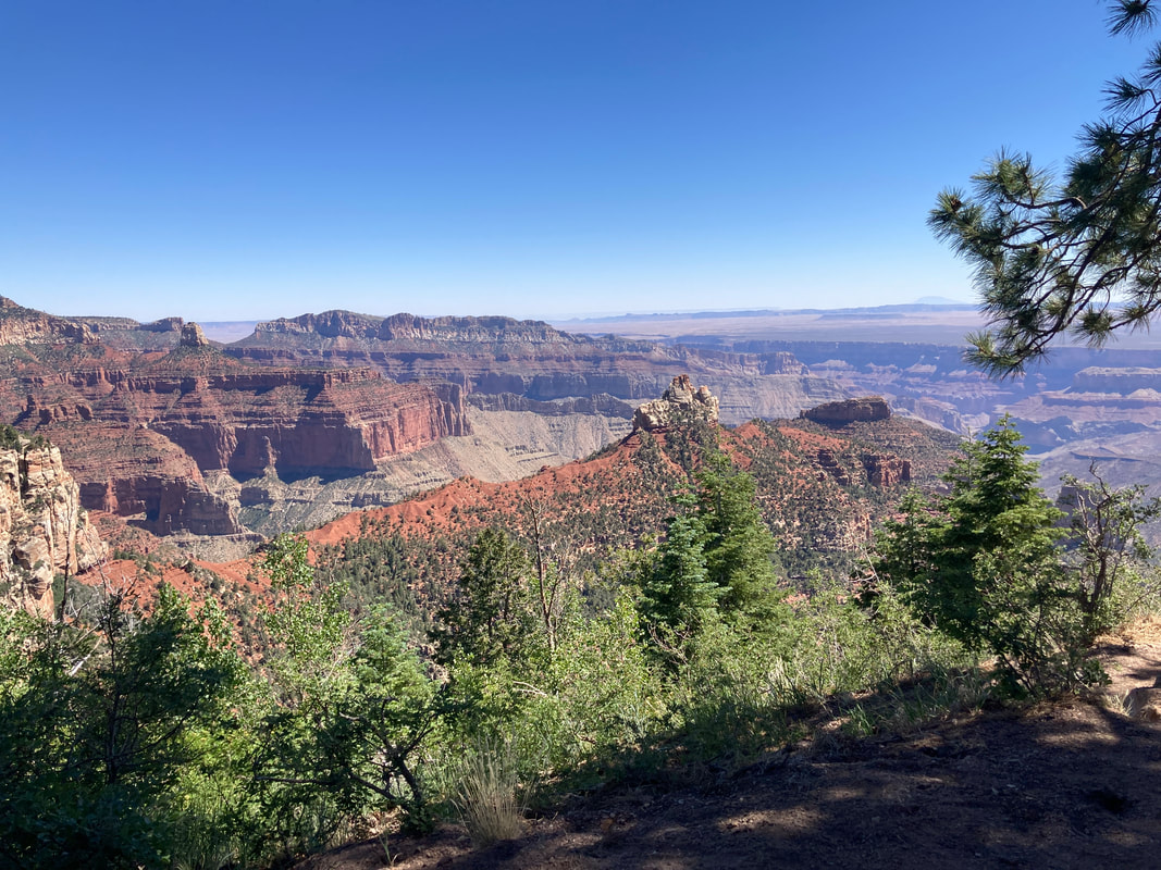
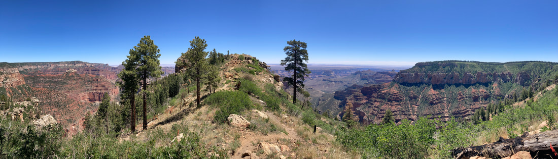
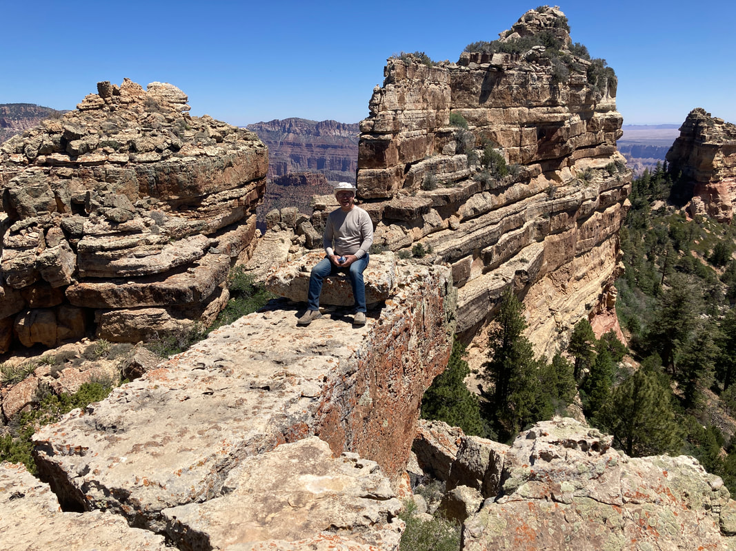
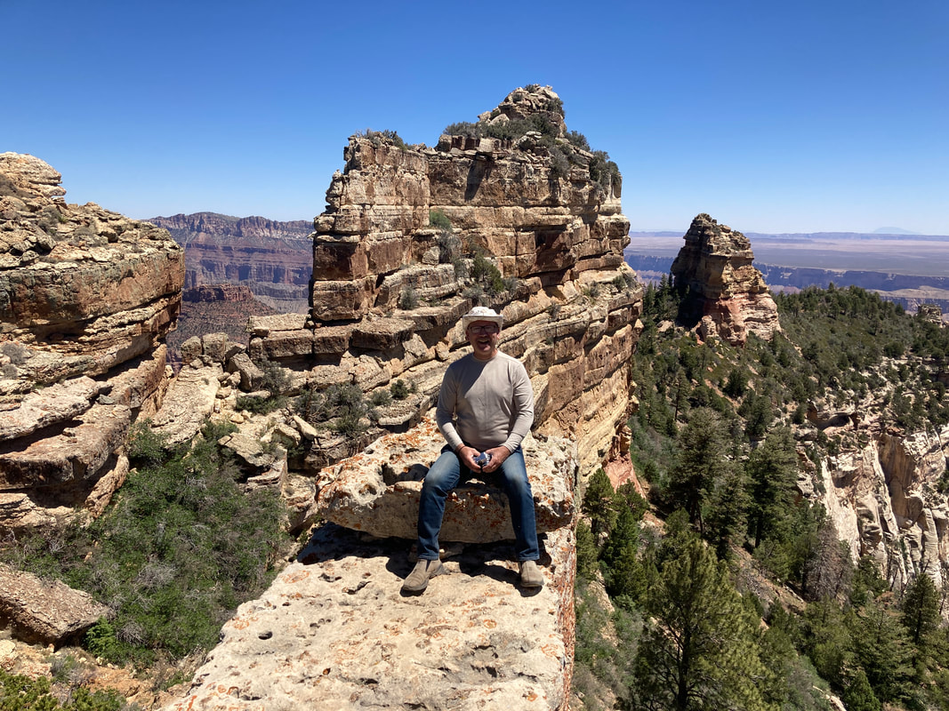
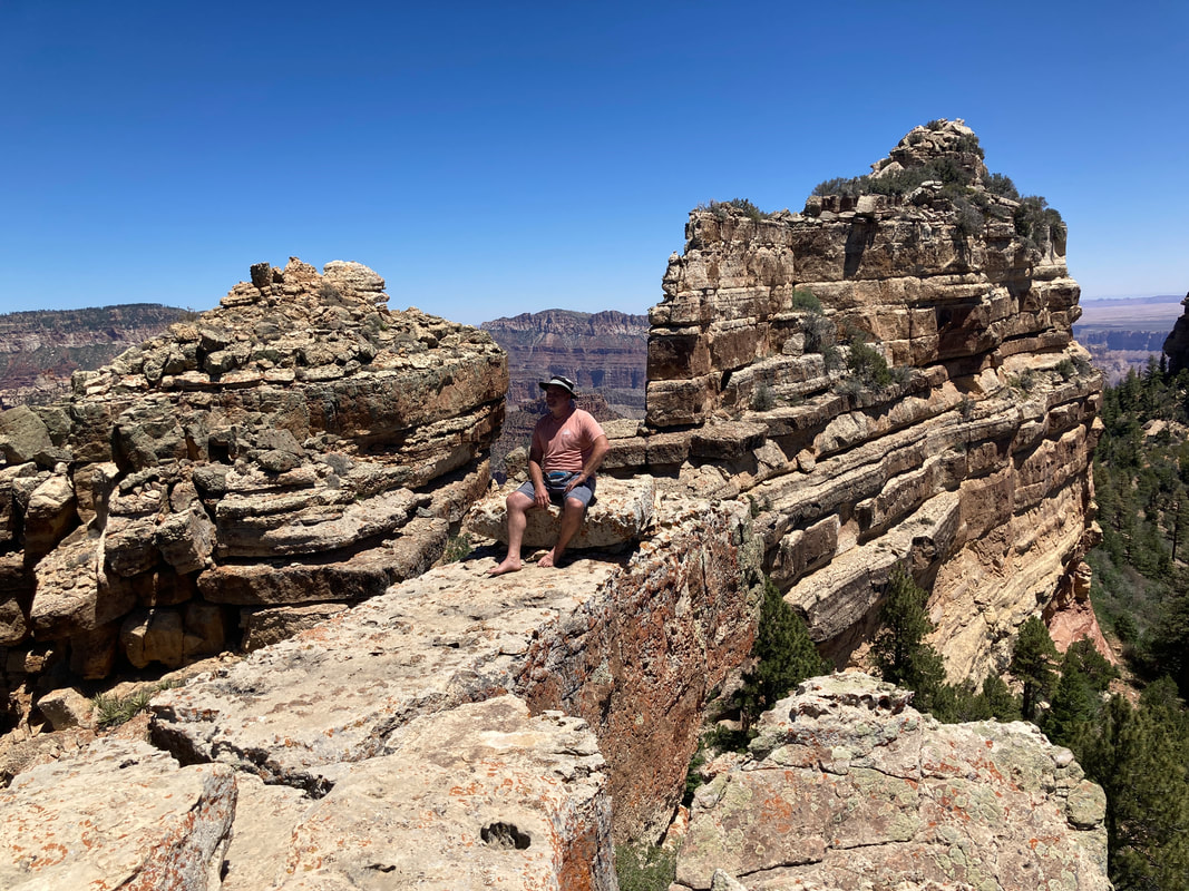
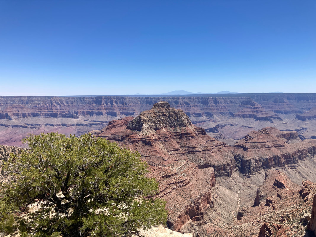
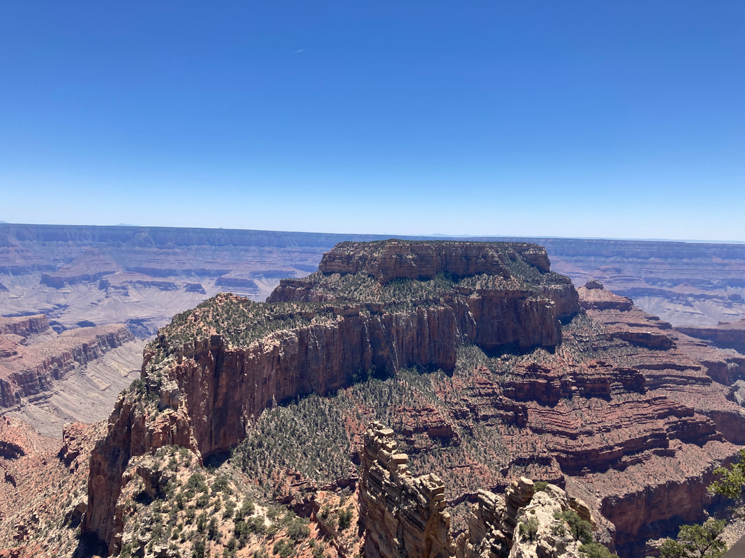
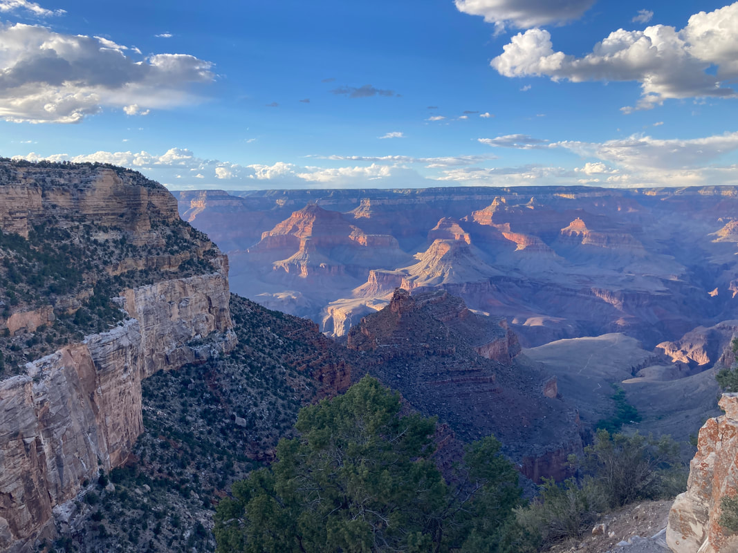
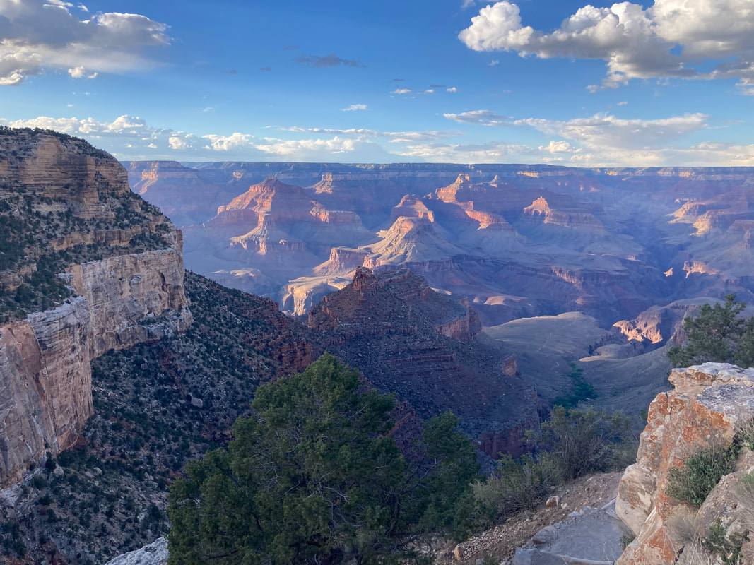
Point Imperial
|
|
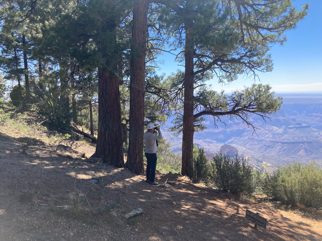
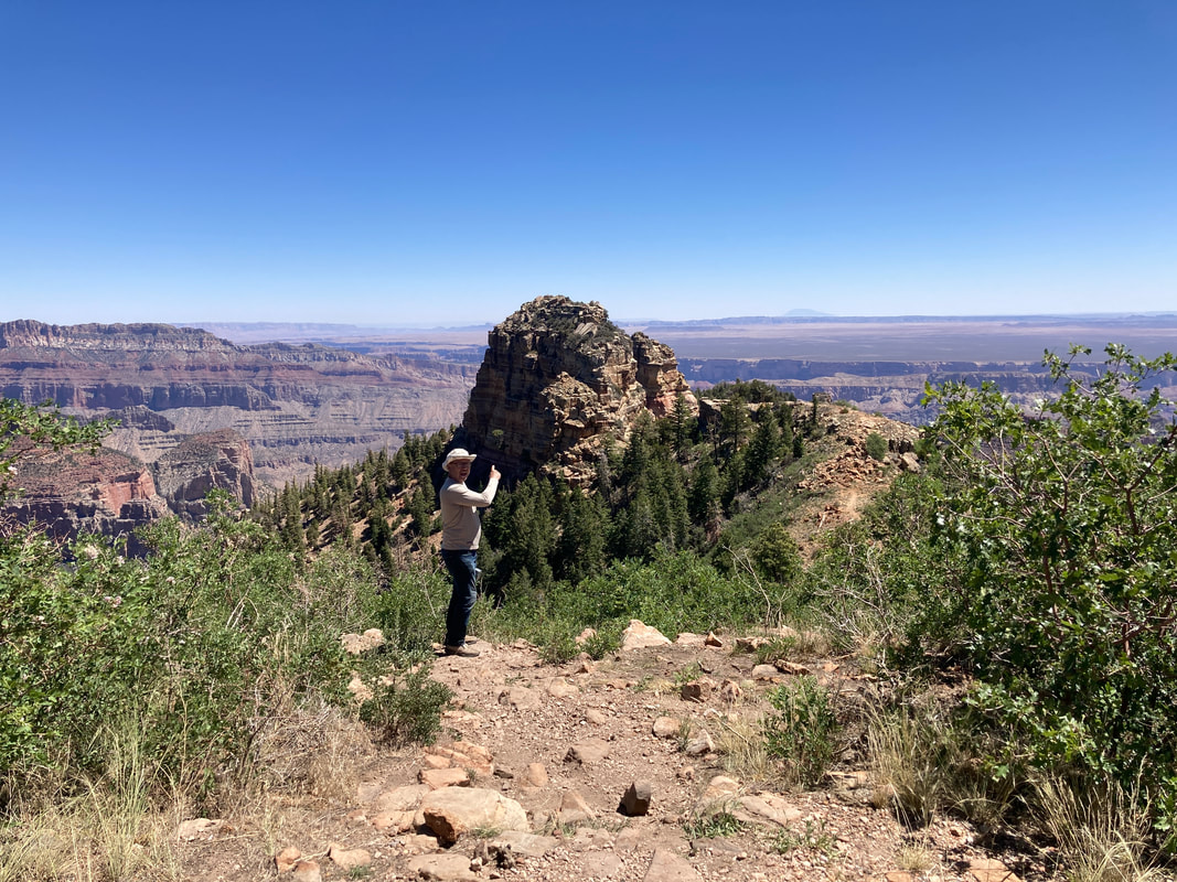
Zoom in to find James
|
|
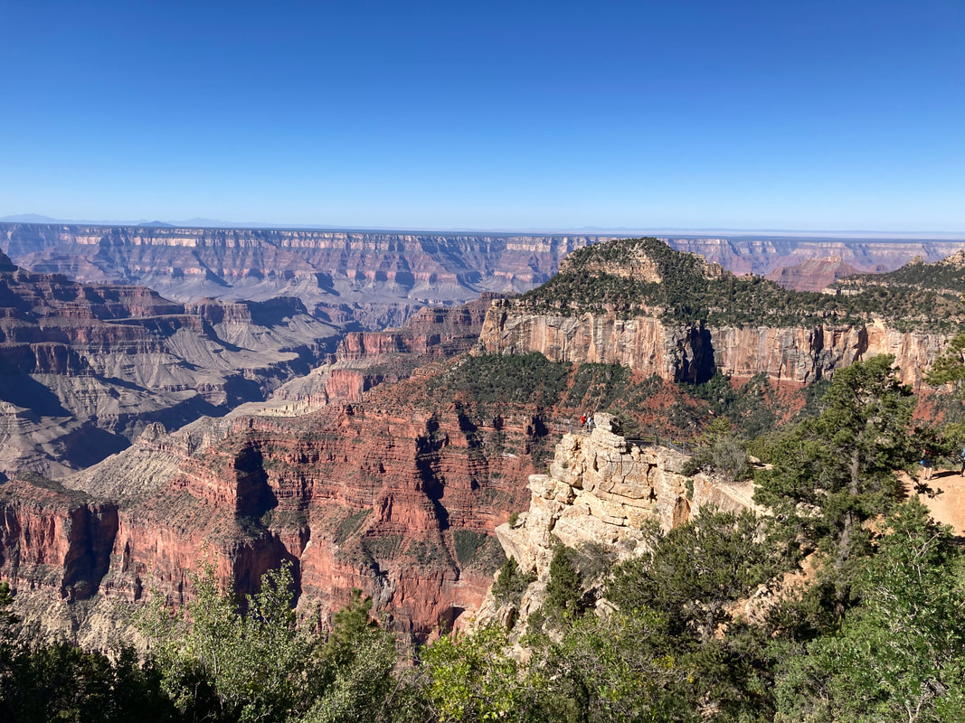
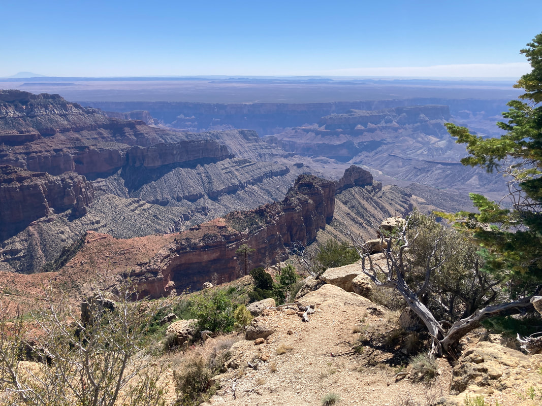
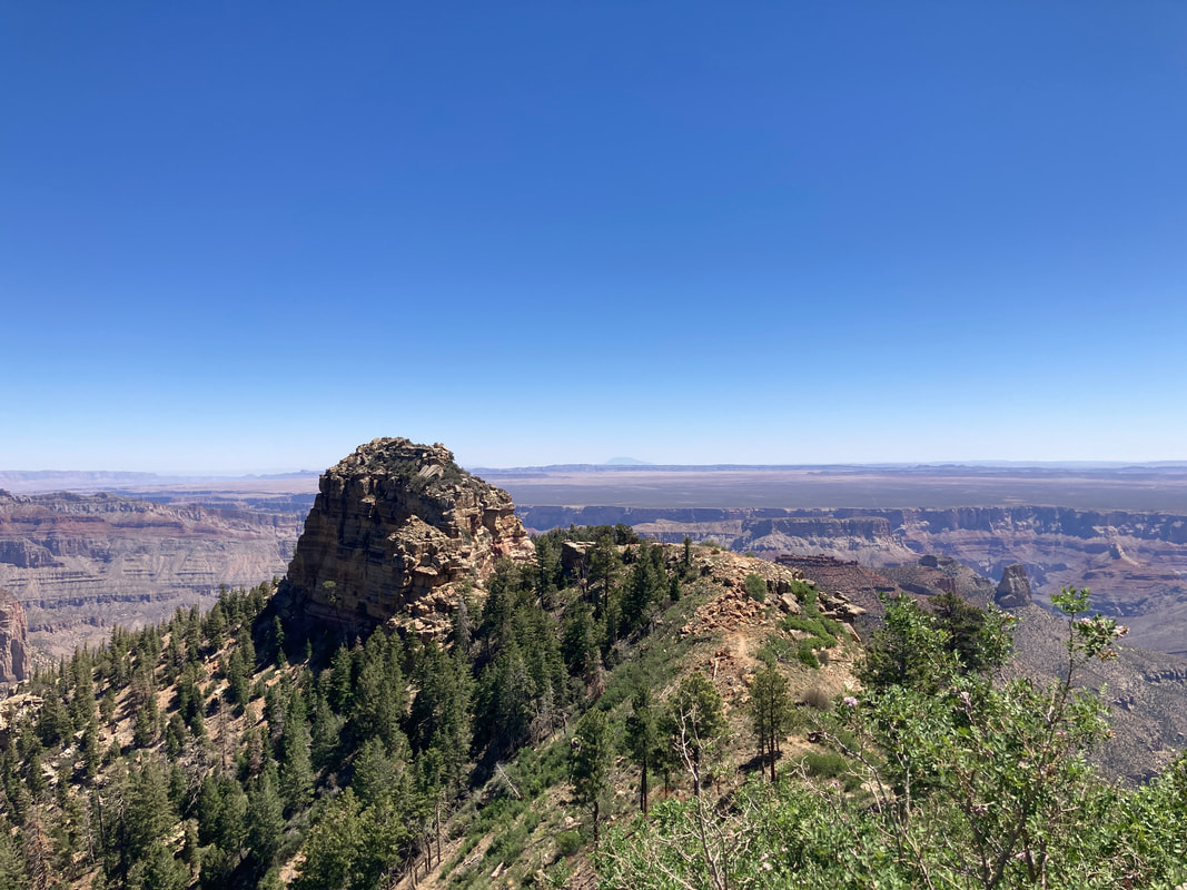
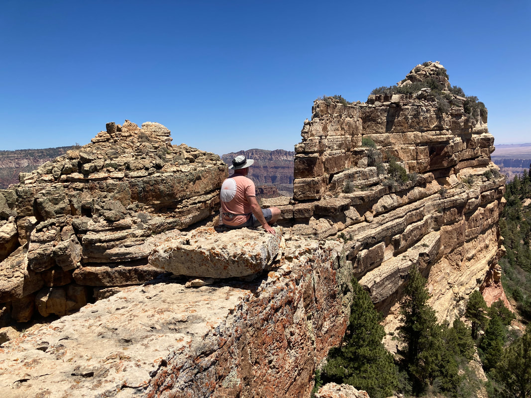
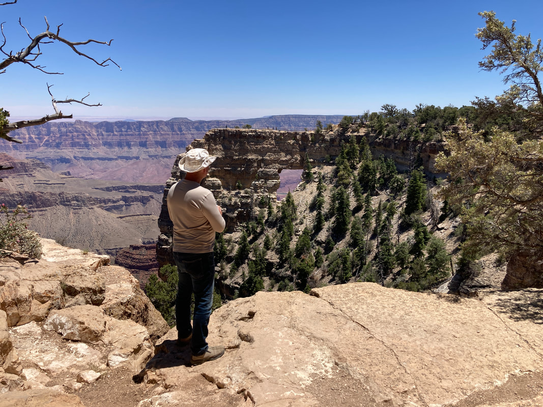
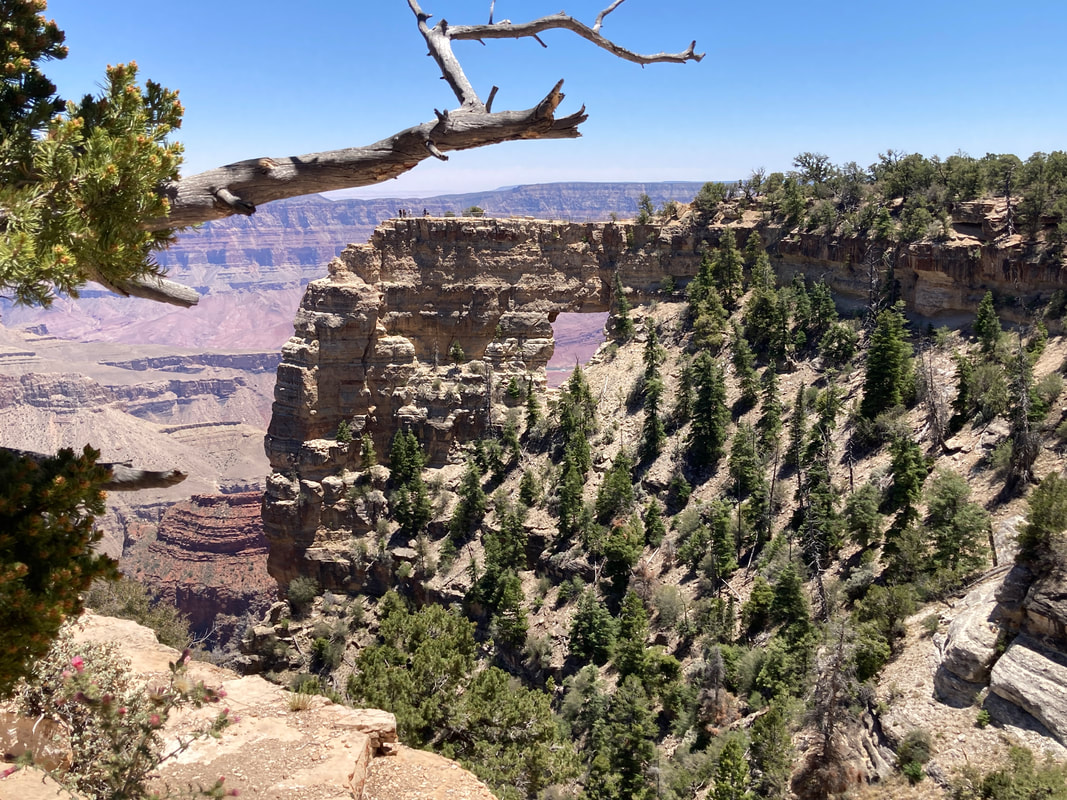
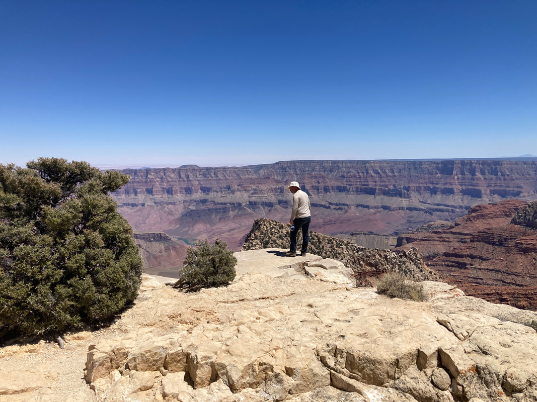
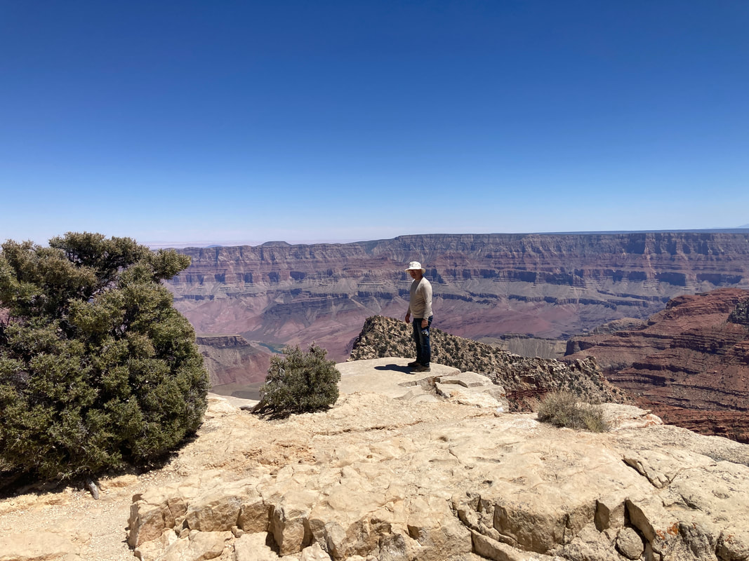
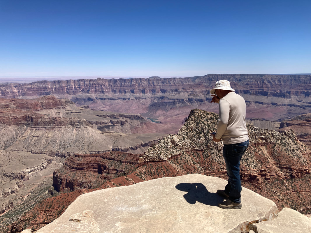
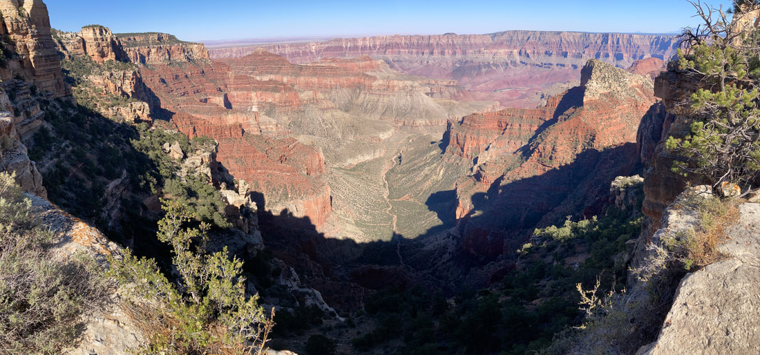
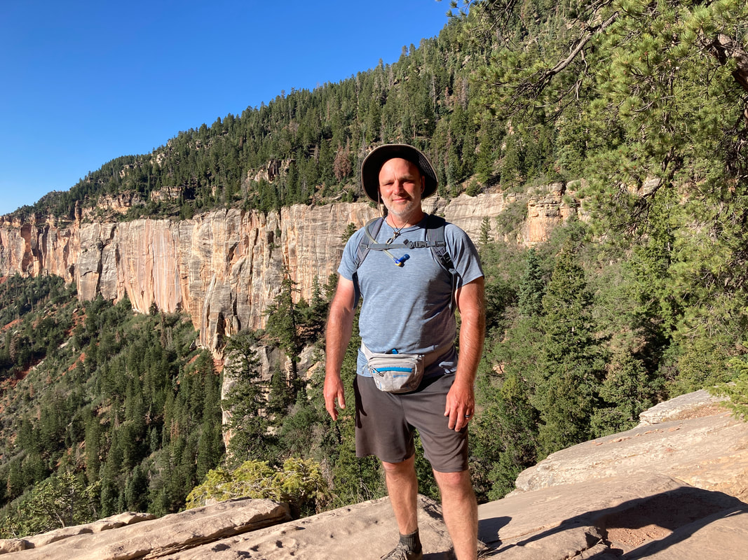
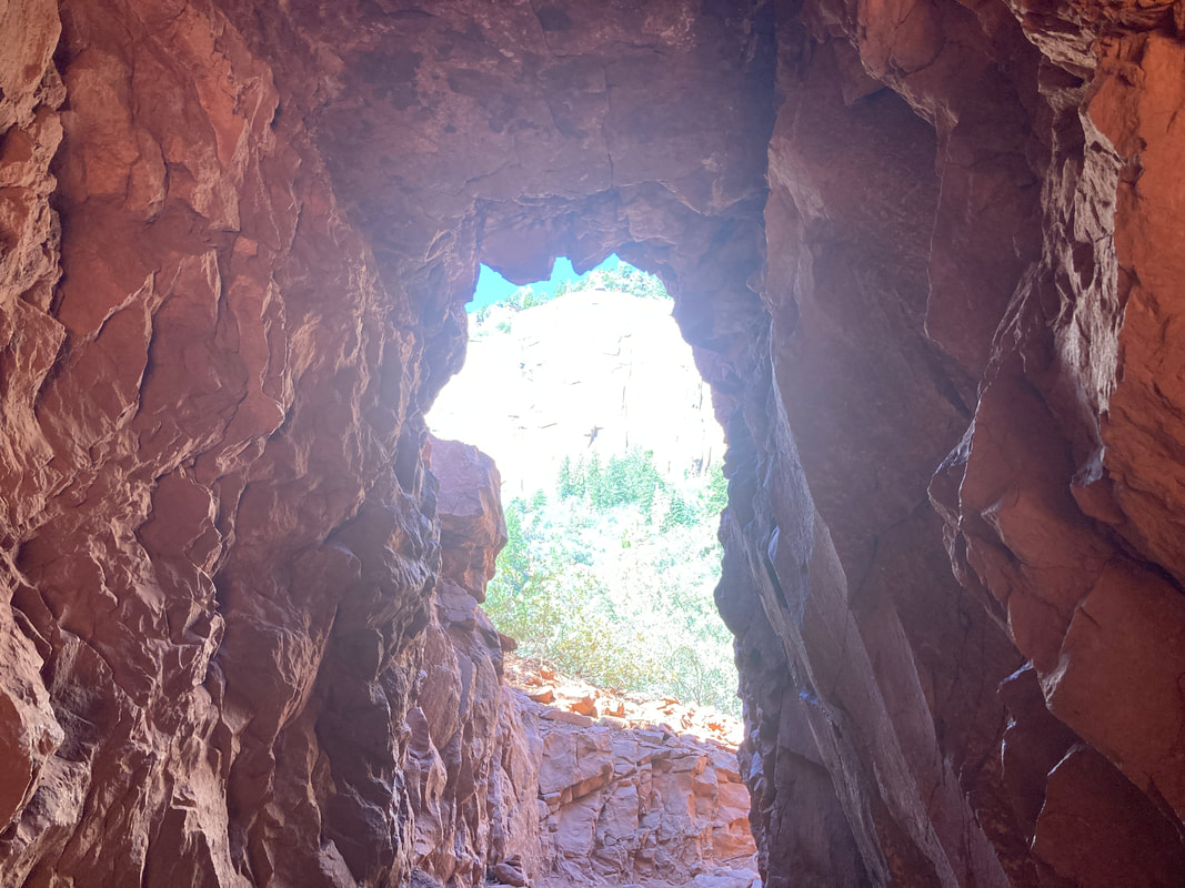
Angels Window and Cape Royal
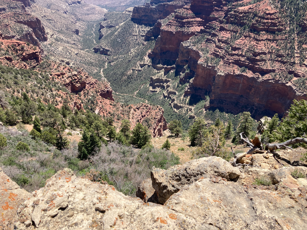
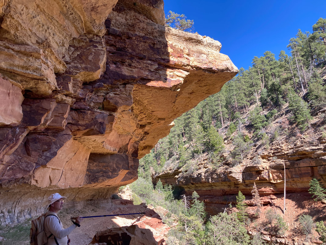
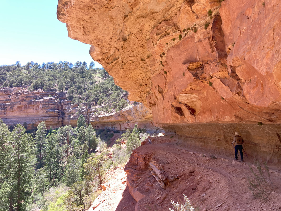
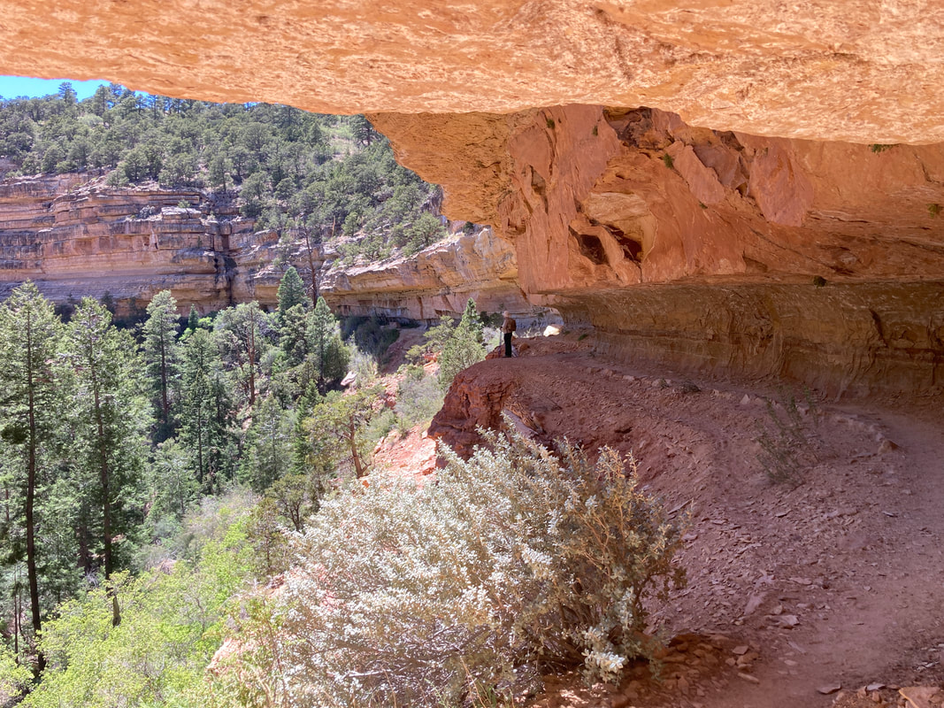
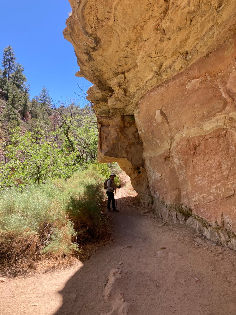
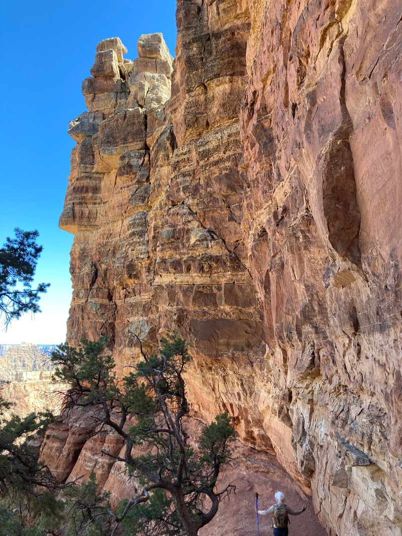
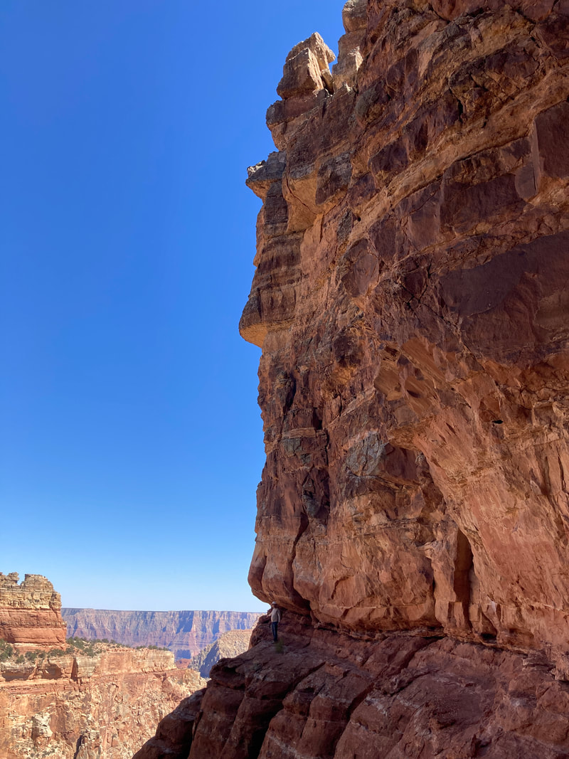
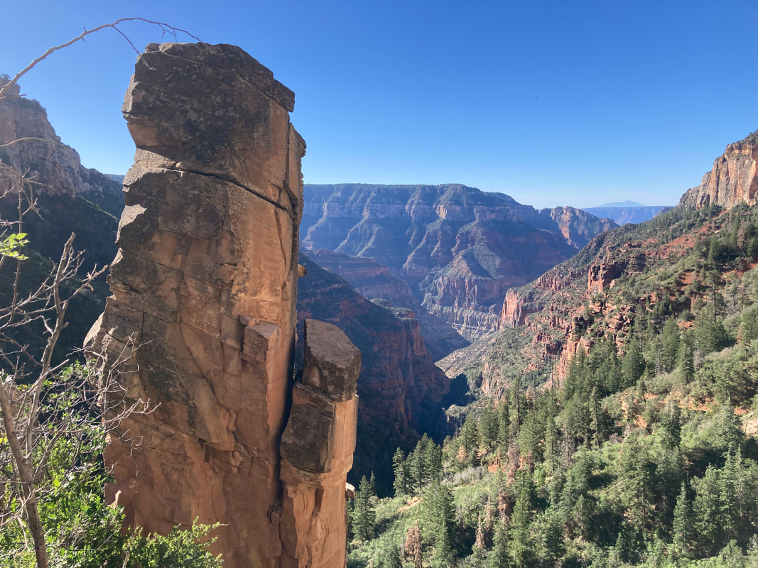
Cliff Spring +
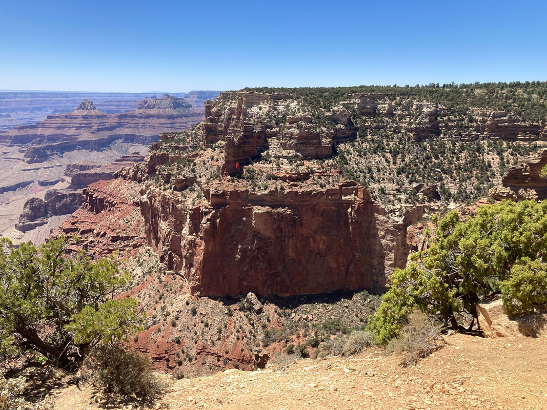
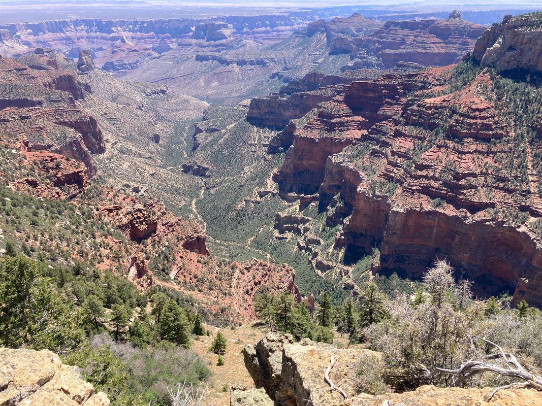
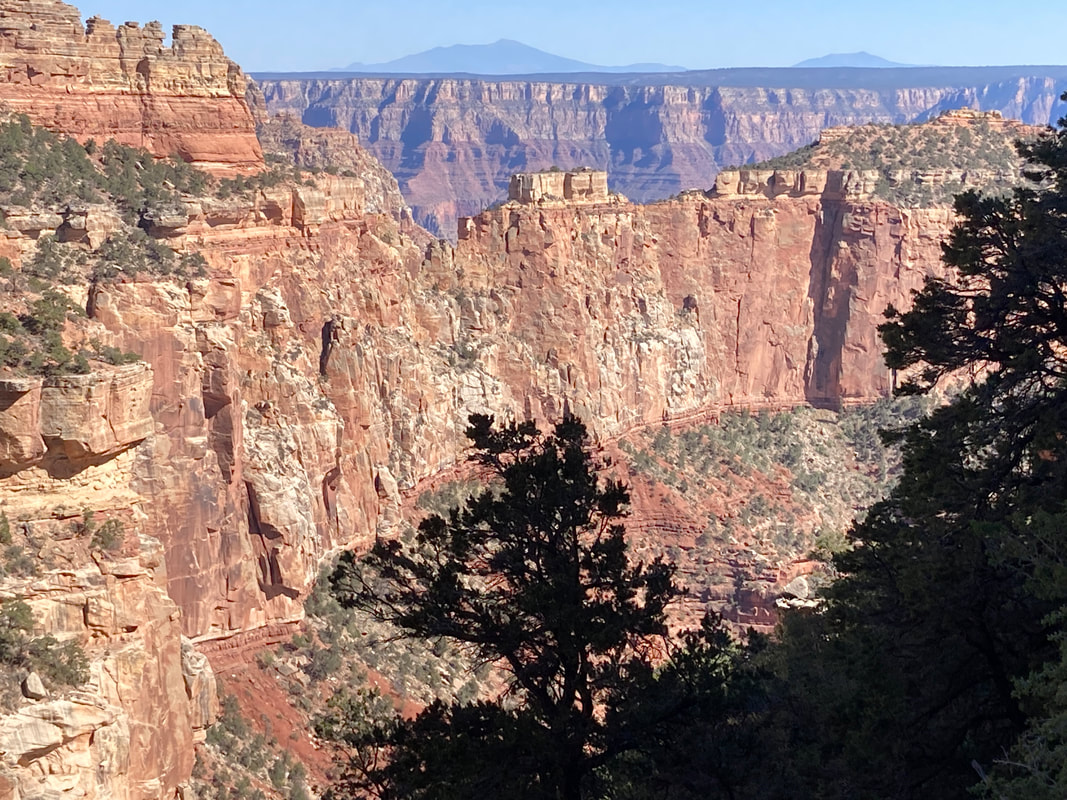
This is a view of our hike out beyond cliff spring looking from Cape Royal. the red dot indicates where we ended the cliff spring hike. We thought we would be able to see the red wall, but we are obviously well above it.
|
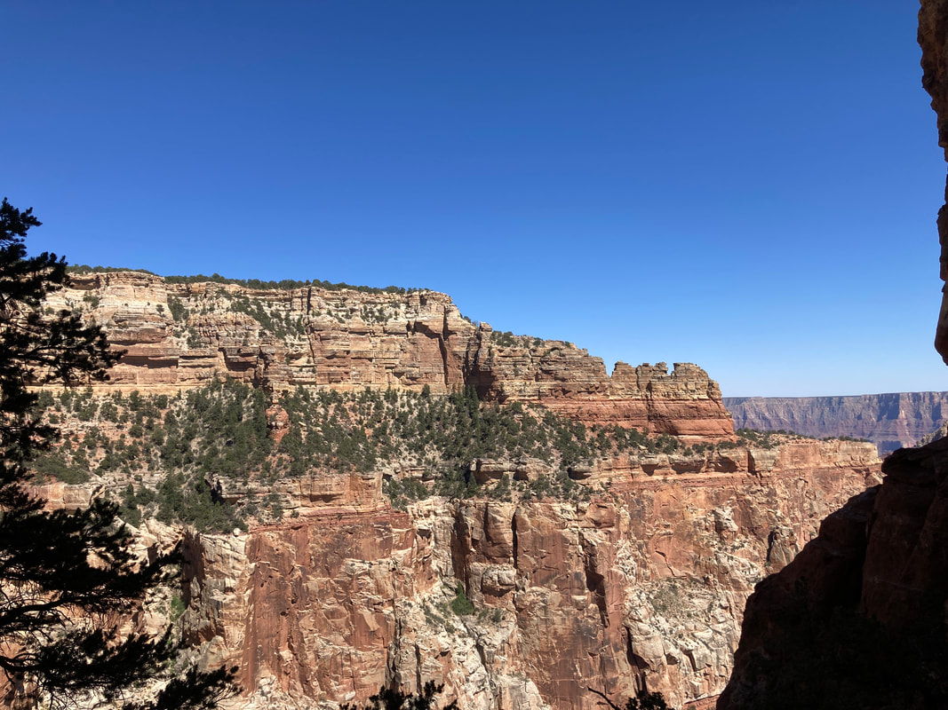
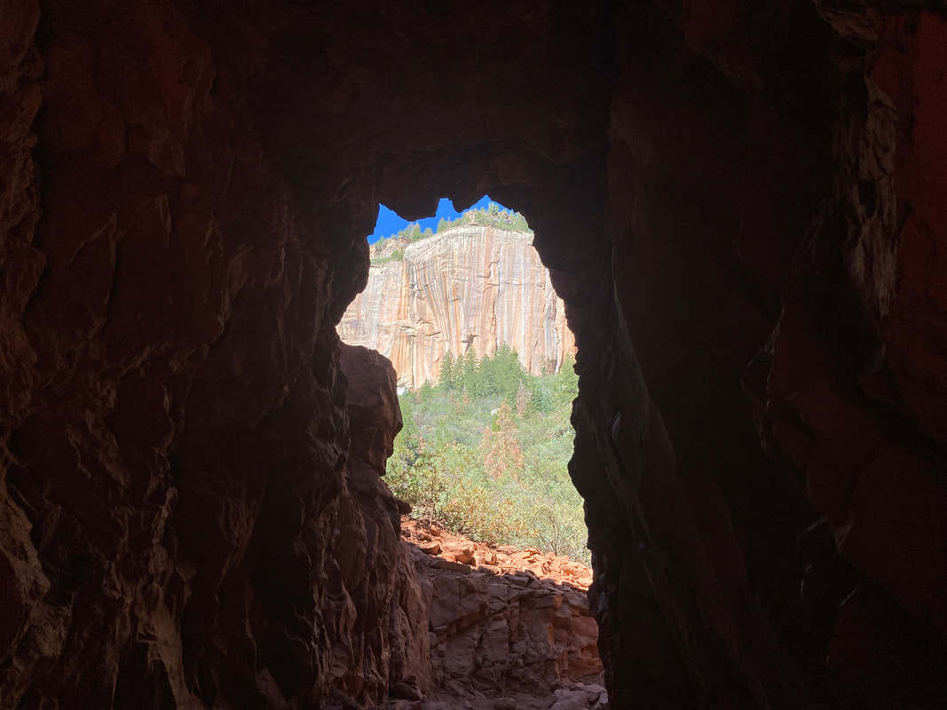
From the cliff spring trail, we were able to see the Cape Royal look out.
|
|
|
|
|
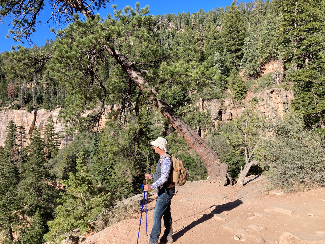
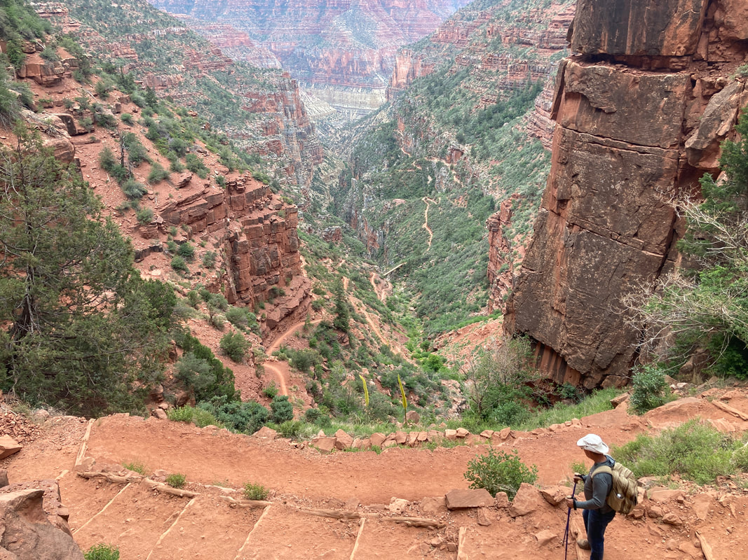
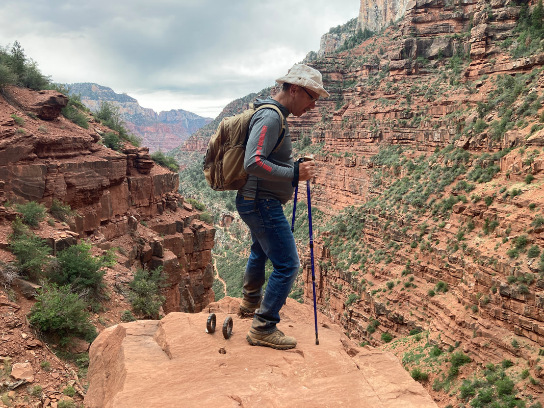
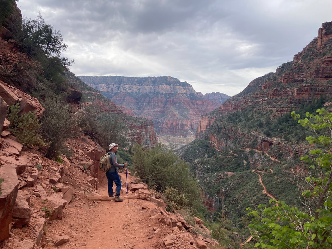
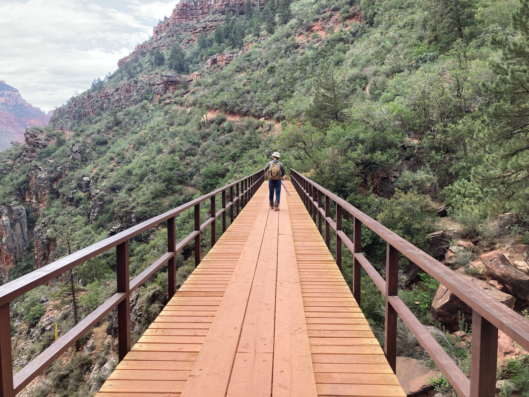
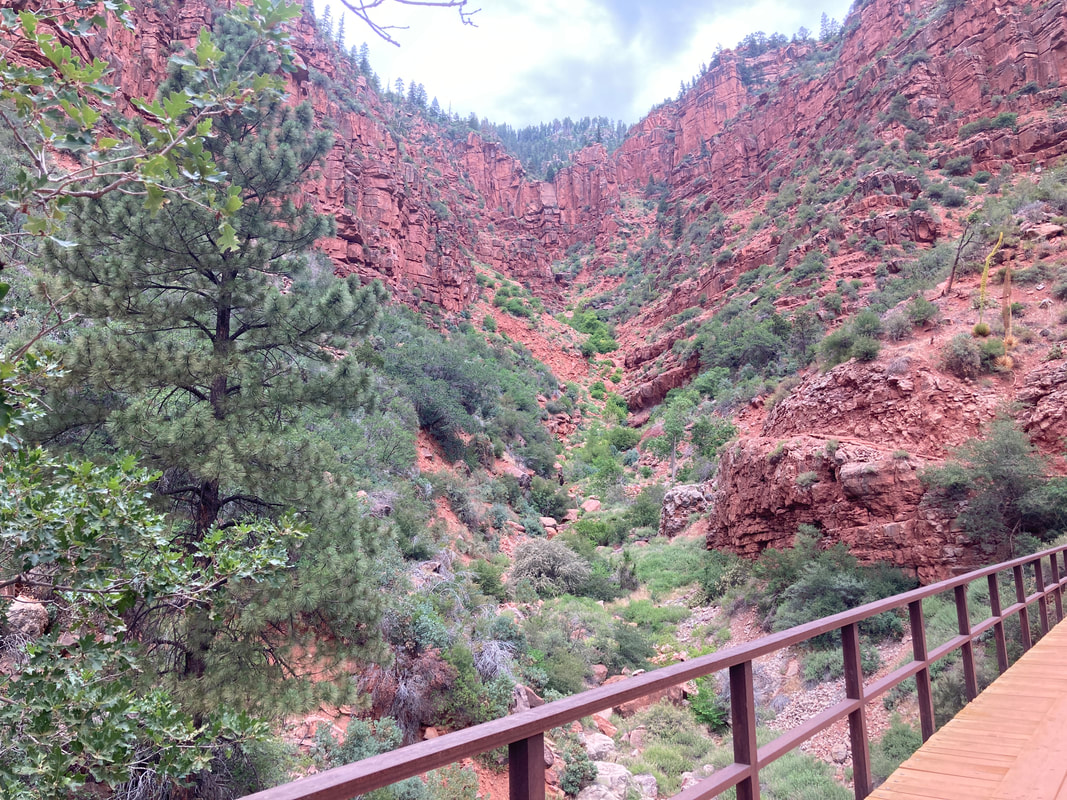
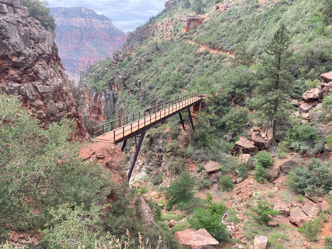
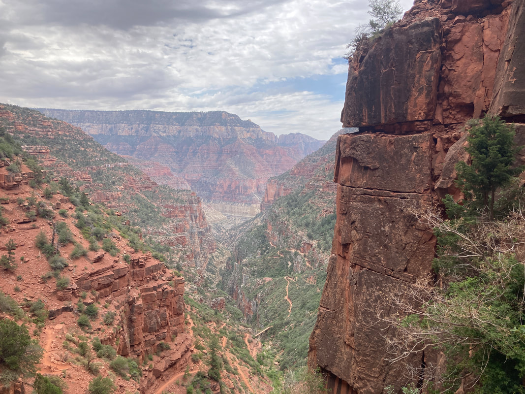
North Kaibab Trail
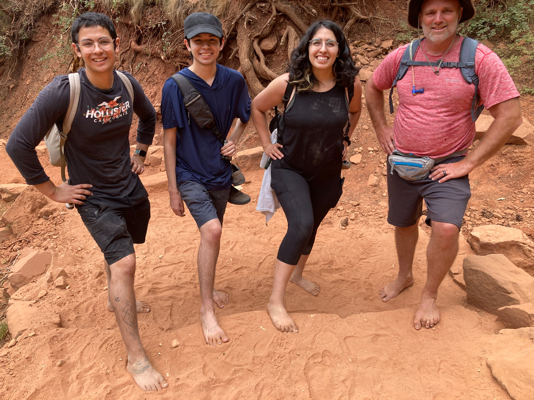
We started with a short hike to test our fitness and ability at altitude. The test was 2 miles to the the Supai tunnel 1400 feet below the rim. We discovered that the trail surface is barefoot friendly and much of this part of the hike was in the trees.
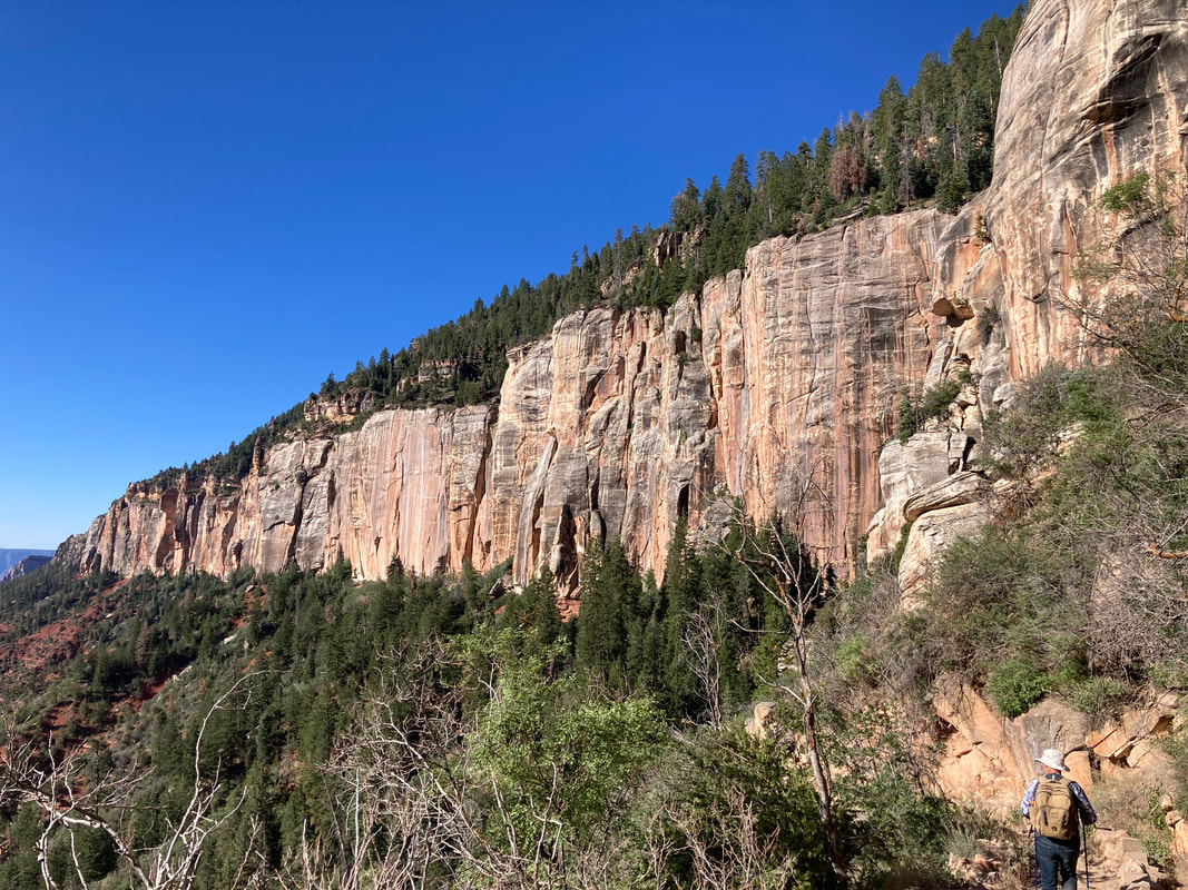
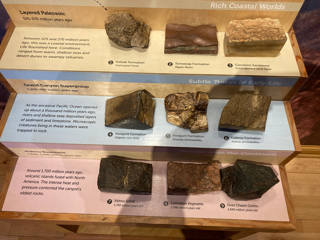
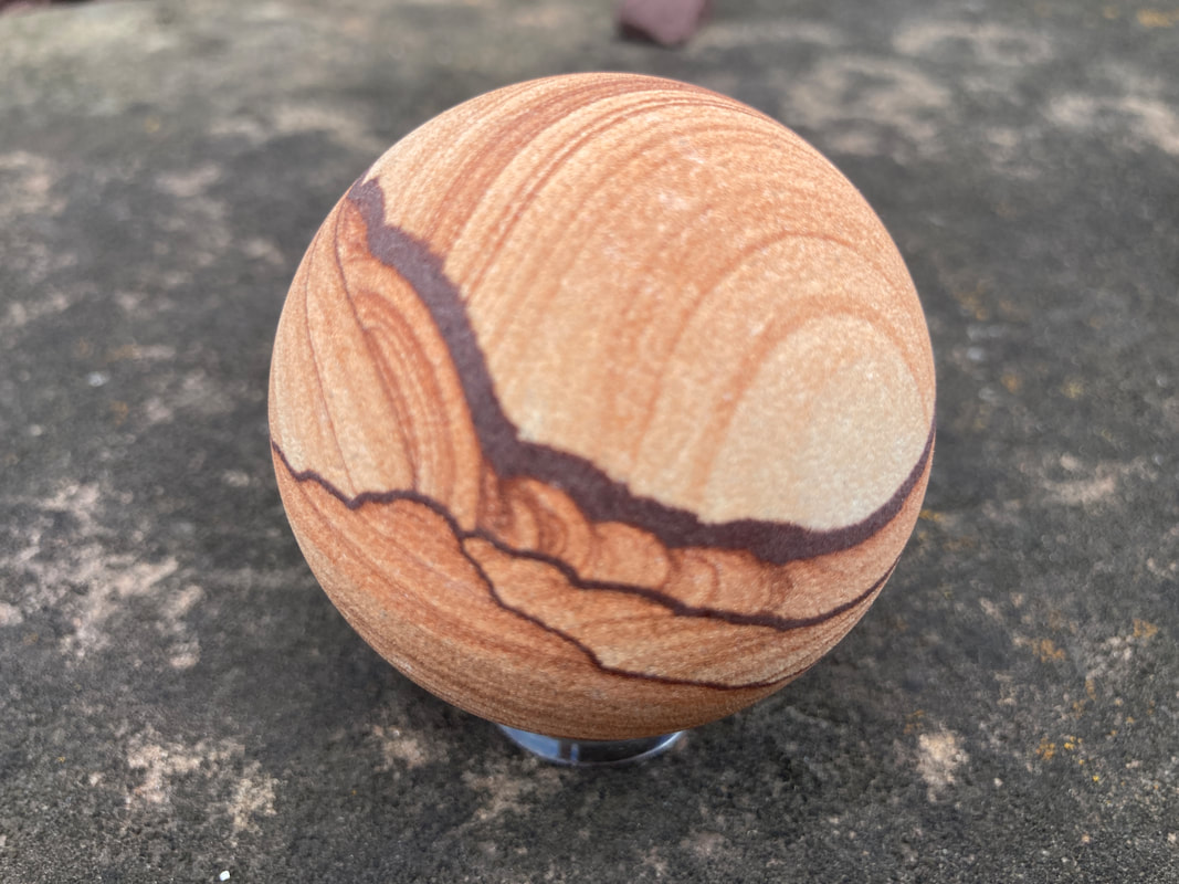
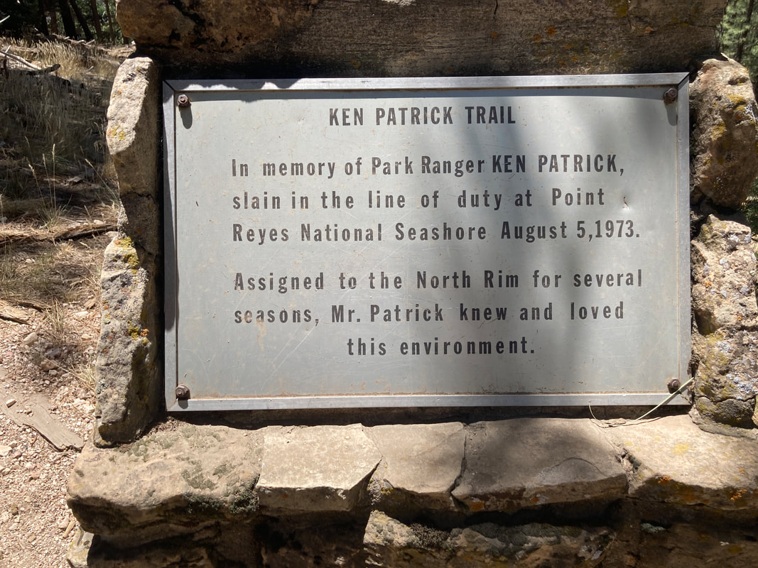
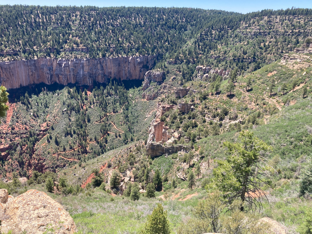
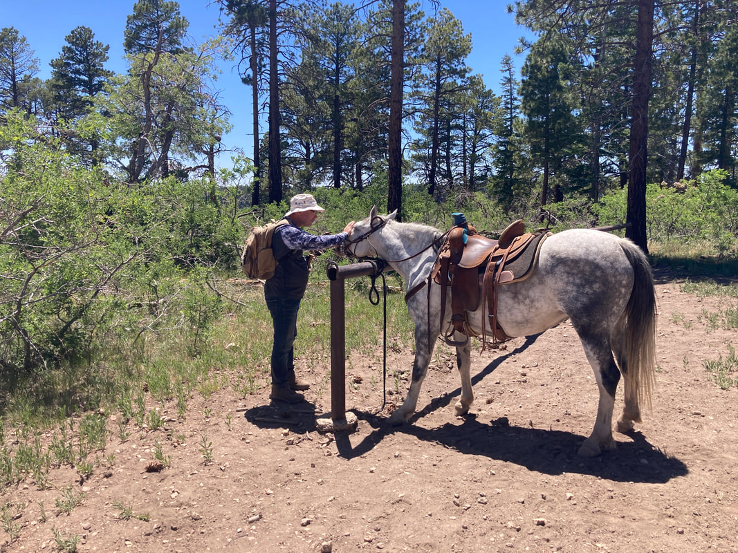
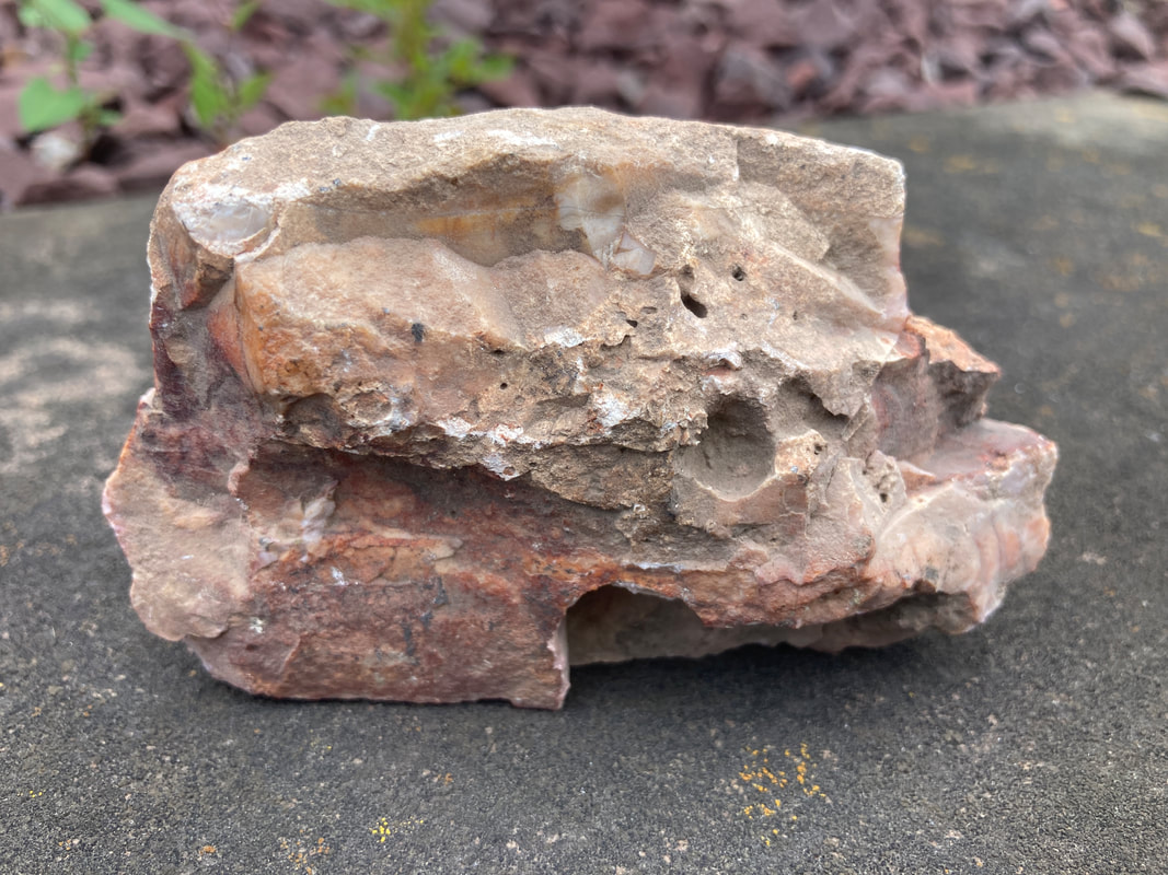
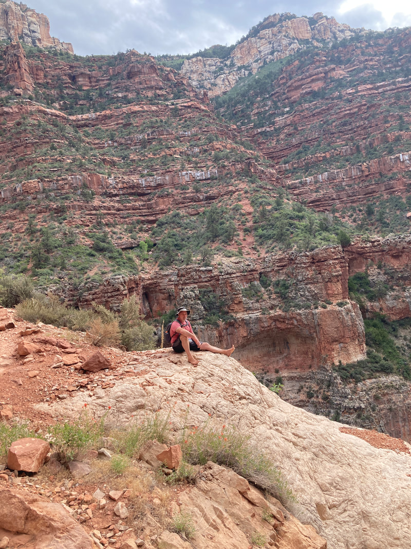
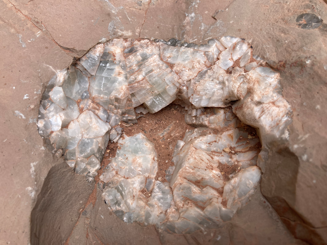
After the test hike, we took the Ken Patrick Trail to Uncle Jim Trial. From the Uncle Jim Look out, we had a clear view of the North Kaibab trail from the rim to the Red wall bridge. Picked up a rock for the fish tank. It has red and white and other features that remind me of Grand Canyon.
|
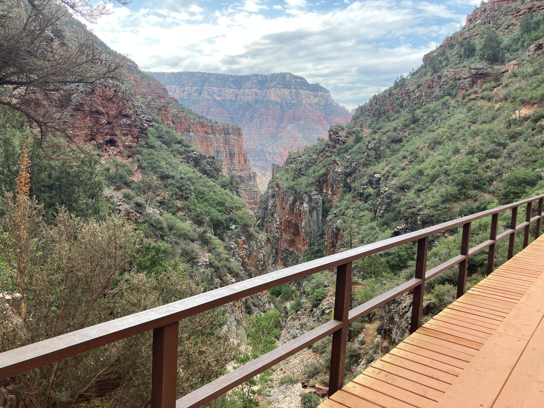
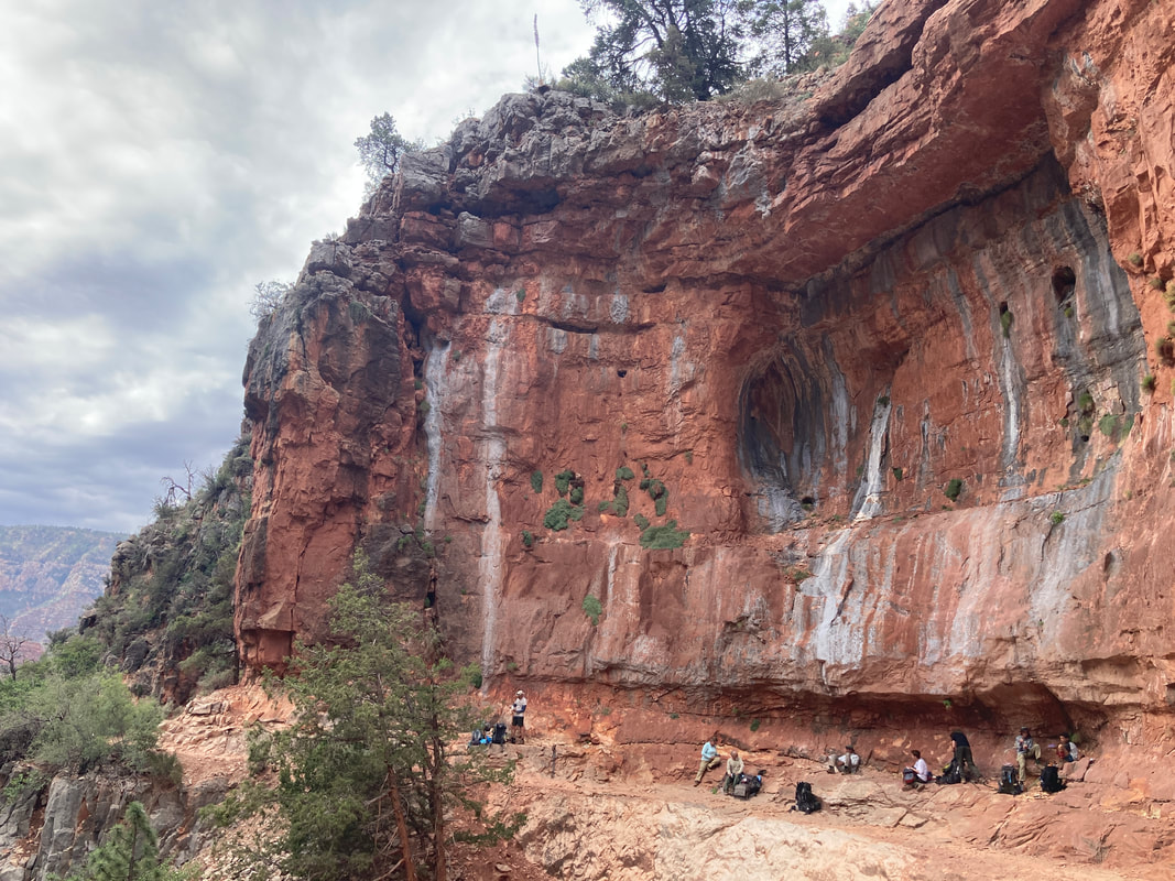
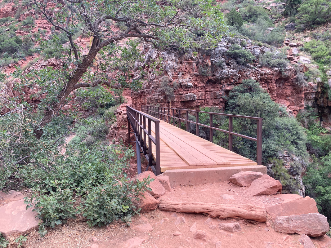
The next day, we decided to go to the Red Wall bridge but ended up going a tiny bit more to see Mossy Cove. This is 2.6 miles one way and 2200 feet below the rim. The hike took about 7 hours.
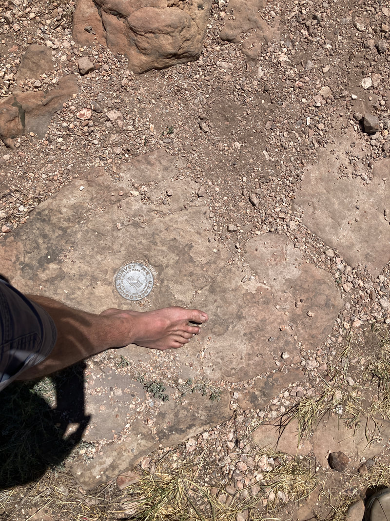
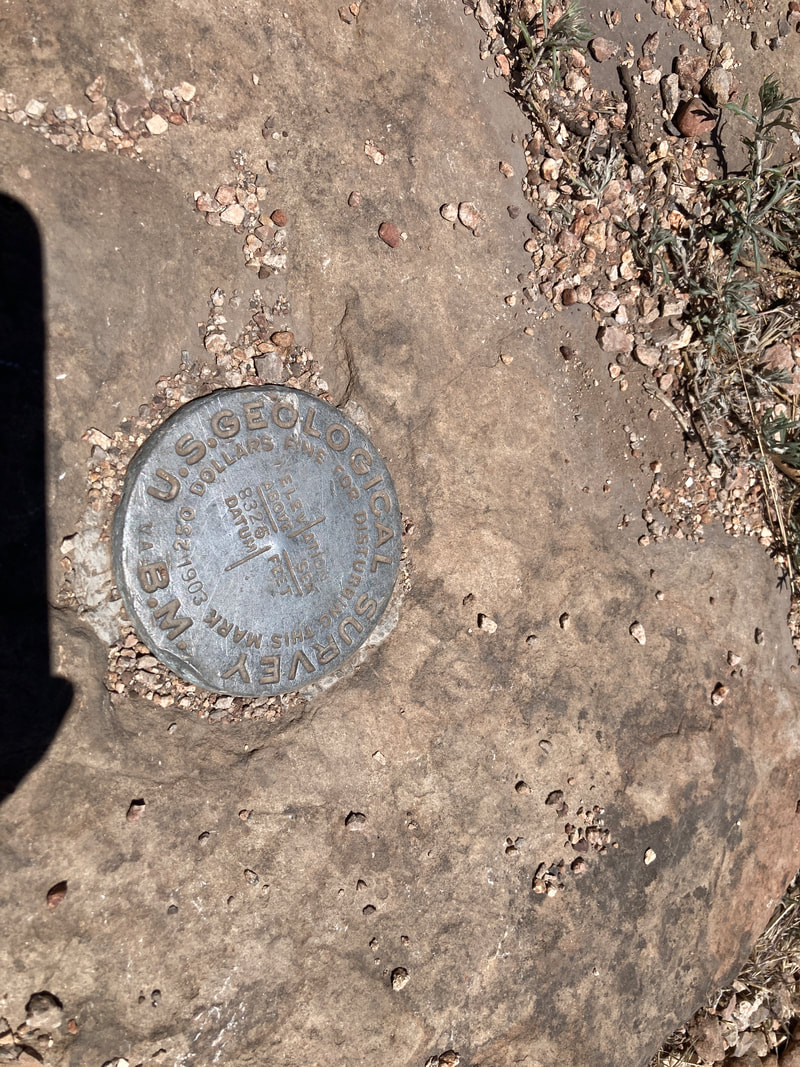
Each day, we spent some time chatting with a volunteer ranger. His catch phrase is "Hey guys, how far are you going?" Followed by "How much water are you carrying?". He was very nice and informative. He gave us a history lesson on the trail and its construction along with information about the how Roaring Spring provides water to both the north and south rim and the Trans Canyon phone line. Picked up a small rock near Red wall bridge to remind us of the lowest point achieved. |

|
Travel from the North Rim to Tusayan
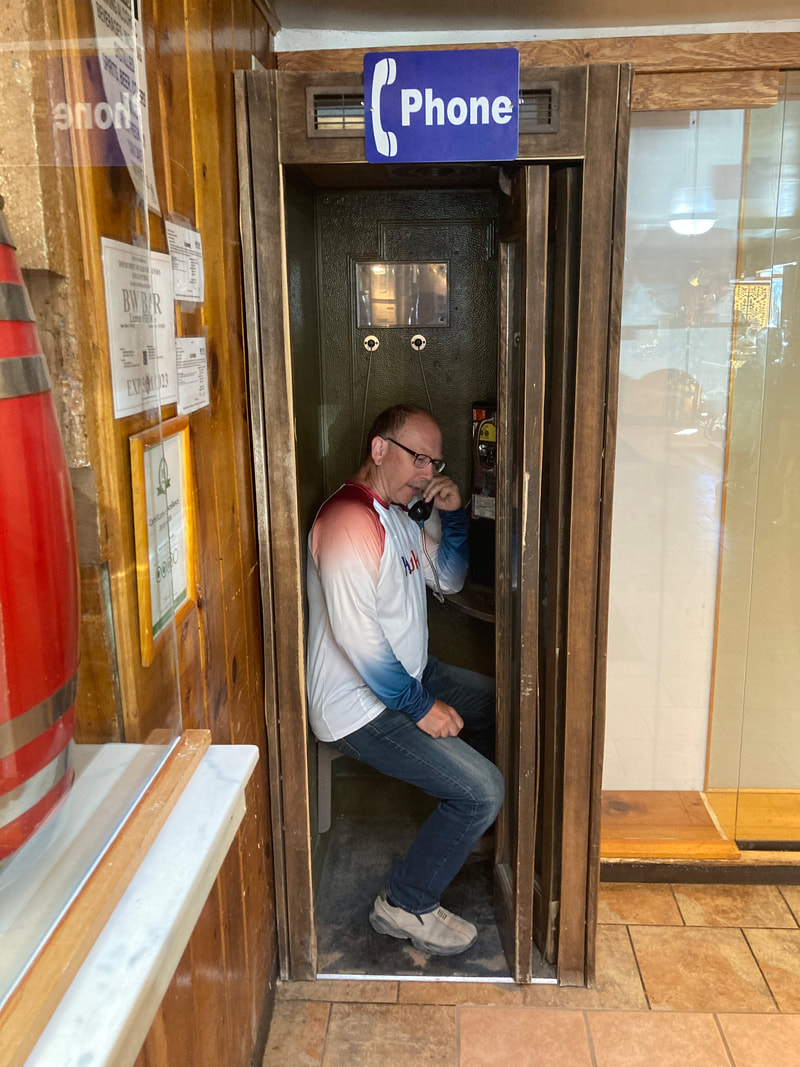
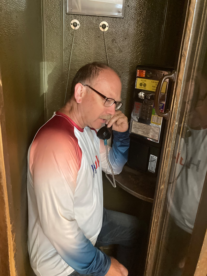
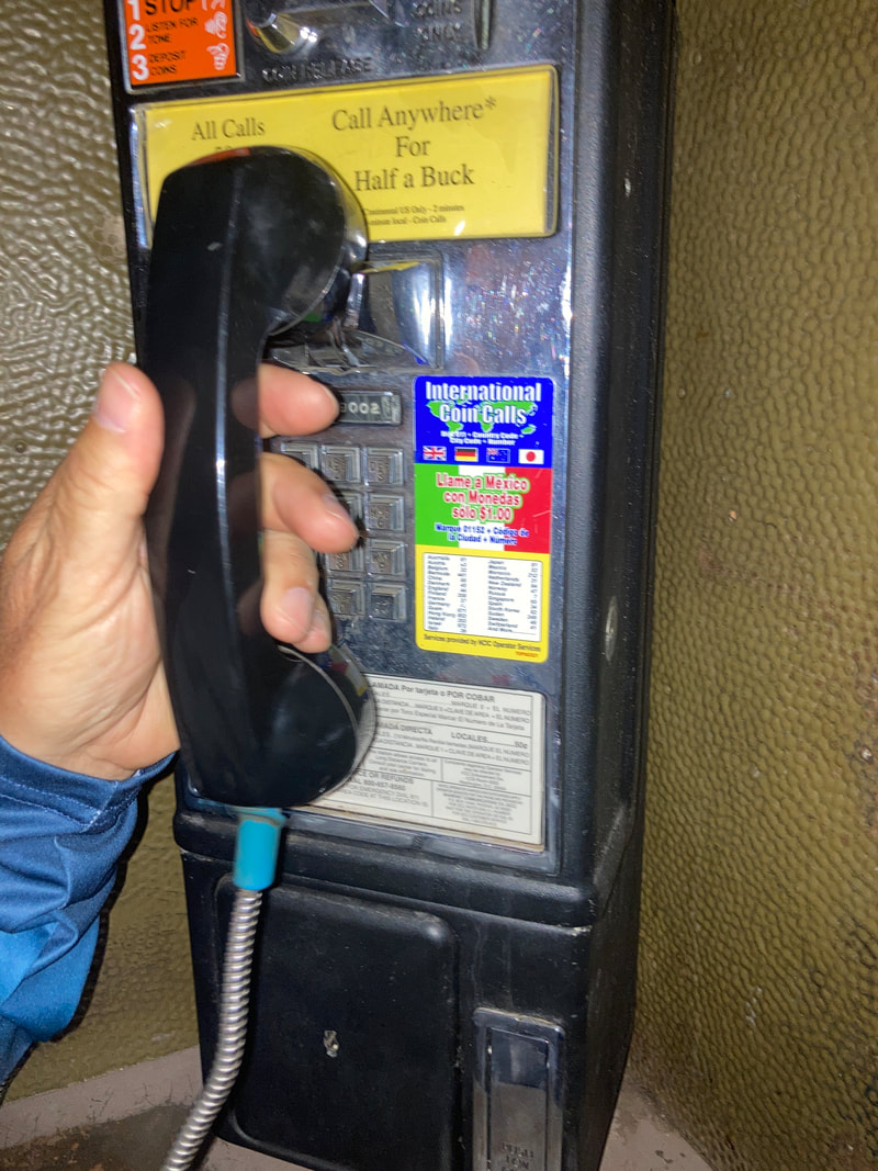
We stopped at Jacob Lake to get milk shakes and take pictures of the phone booth. (A milk shake should be shared with 4 people.)
|
|
|
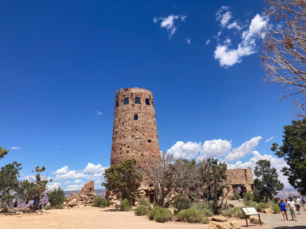
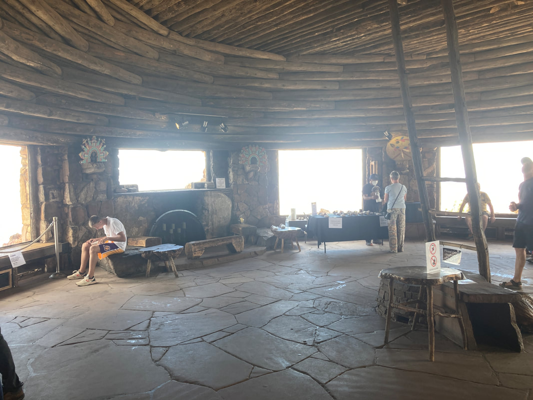
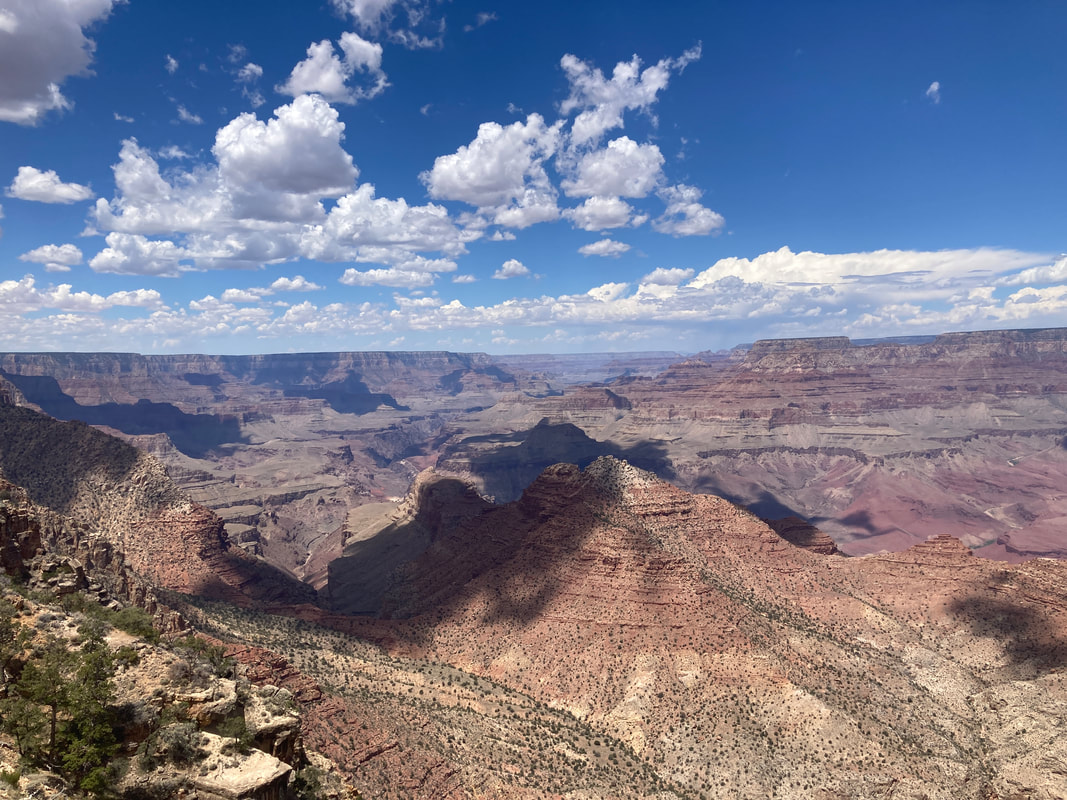
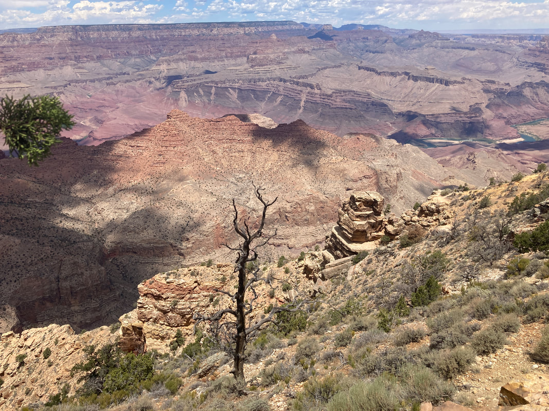
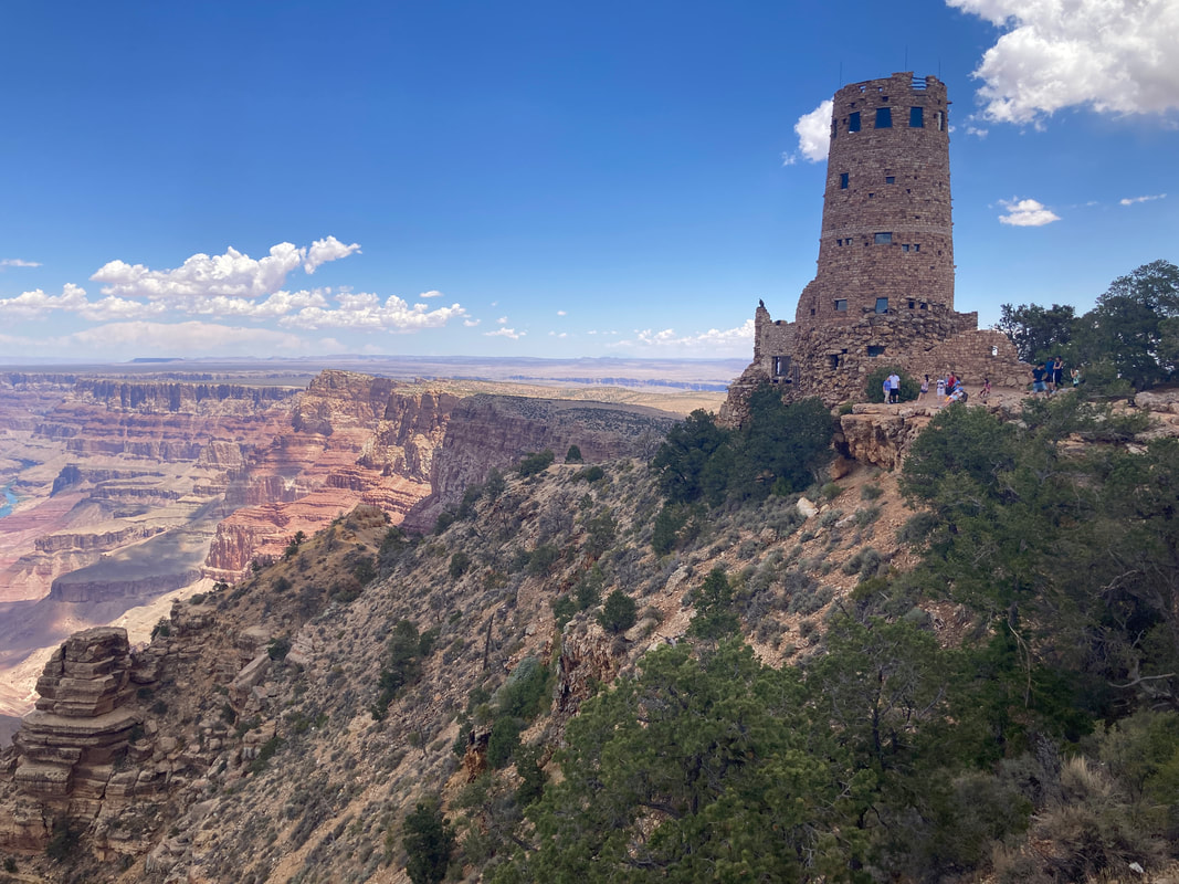
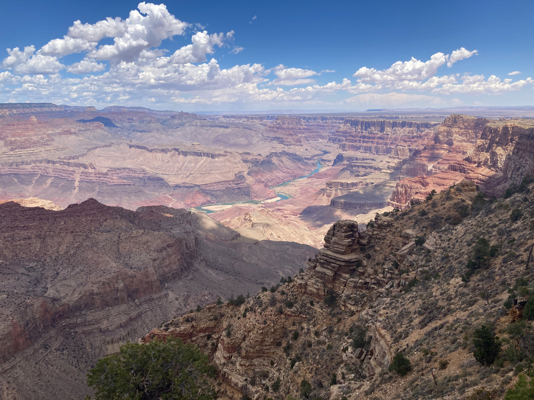
Desert View is the 1st scenic look out as we enter the South Rim from the east. We stopped at a few look outs as we traveled along the south rim to Tusayan.
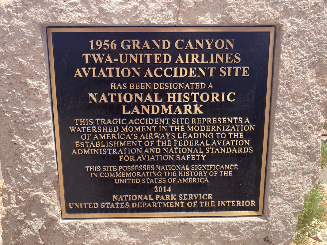
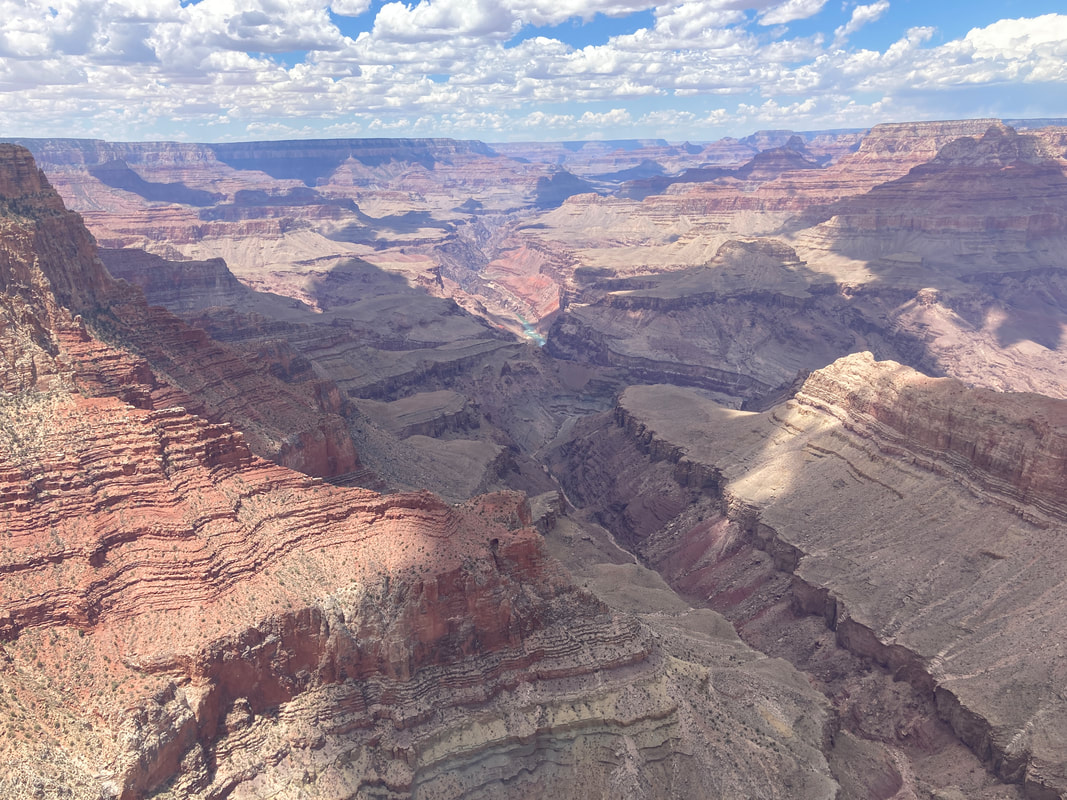
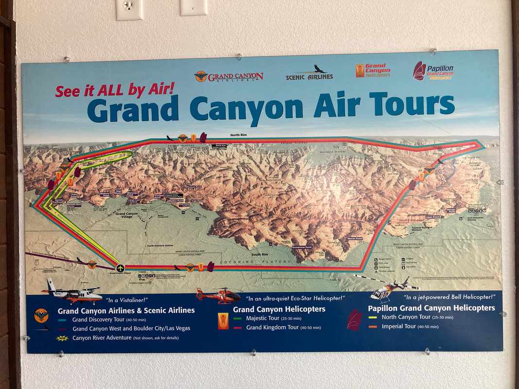
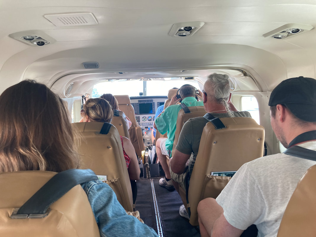
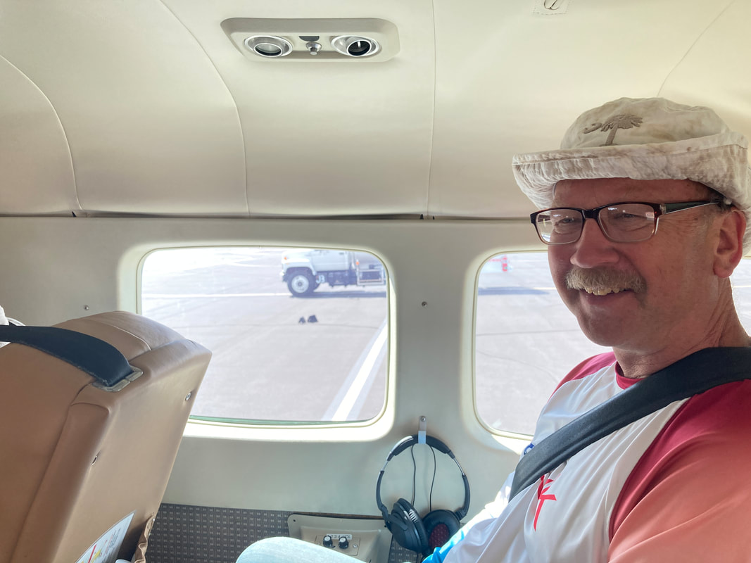
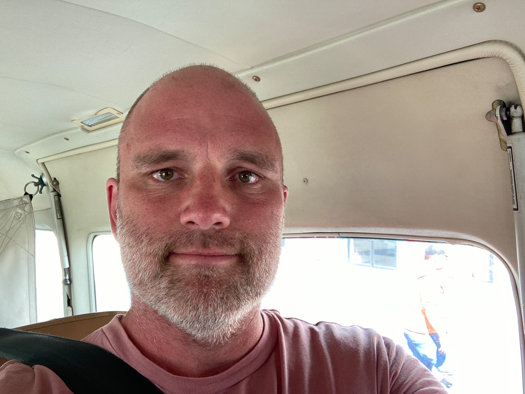
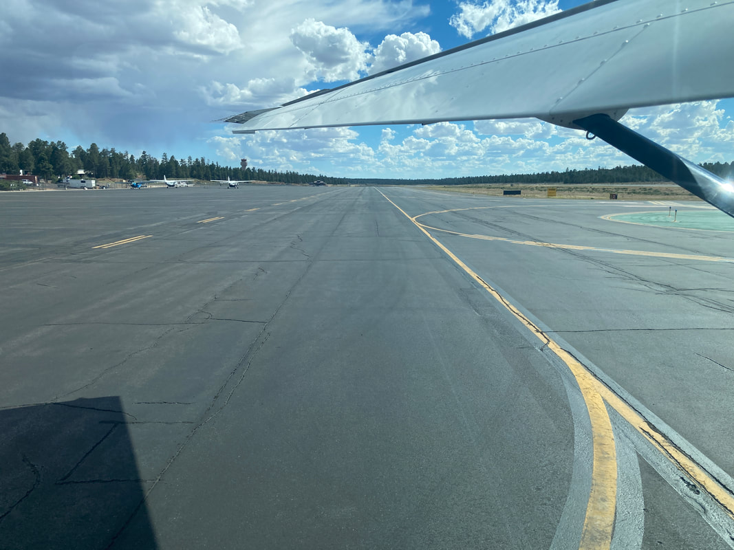
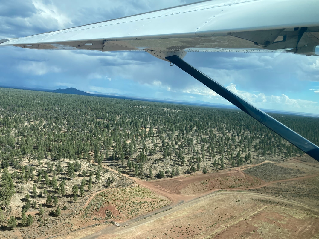
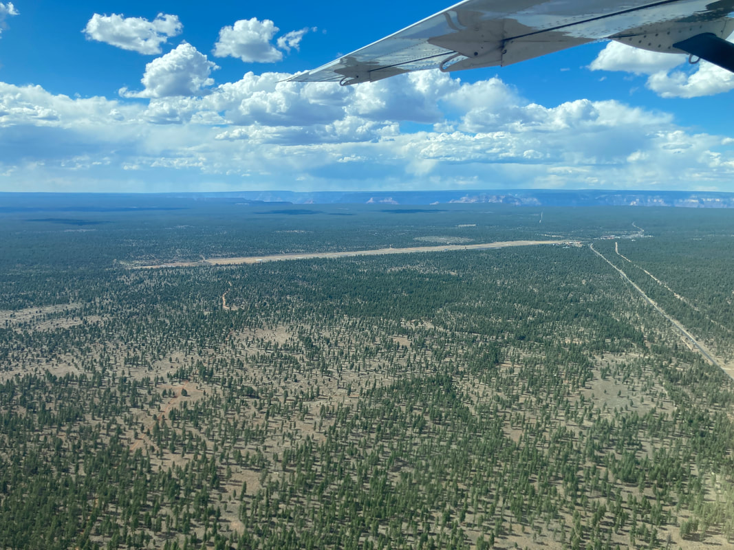
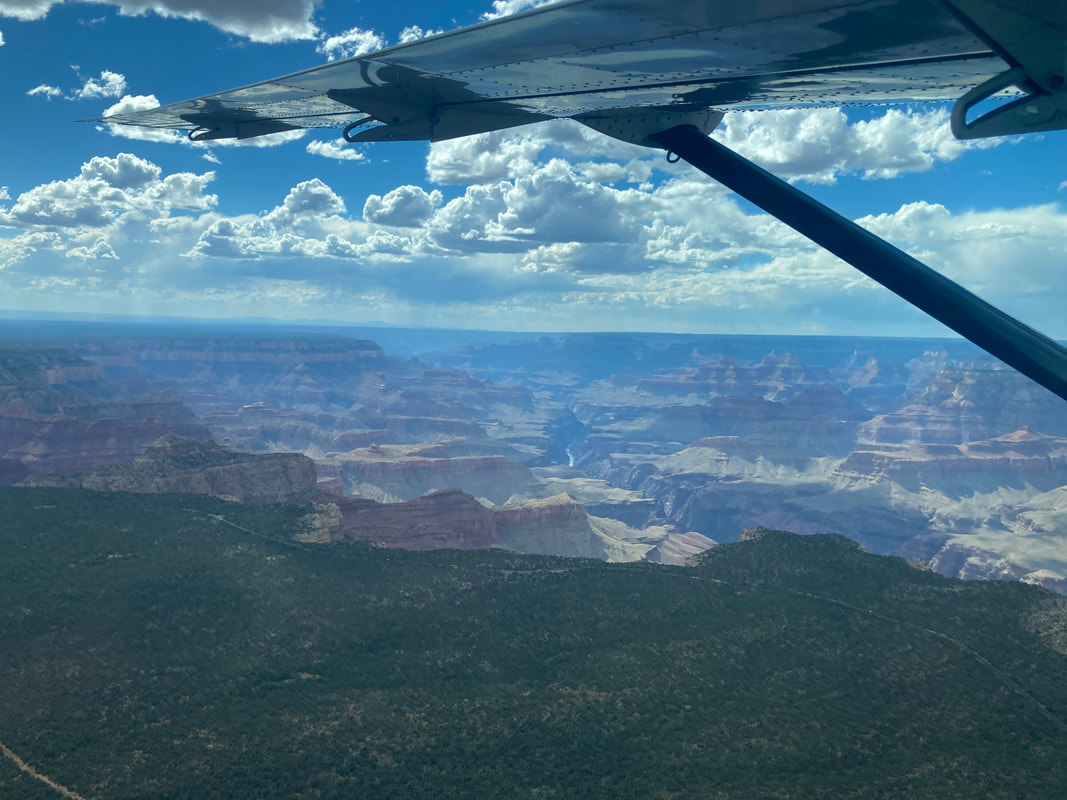
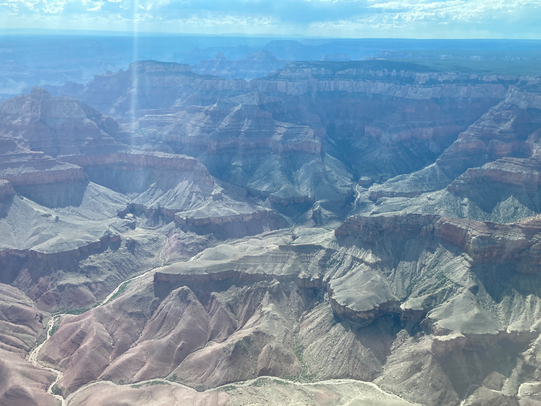
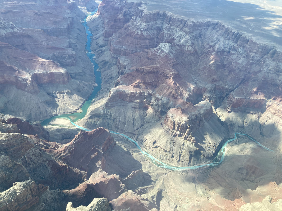
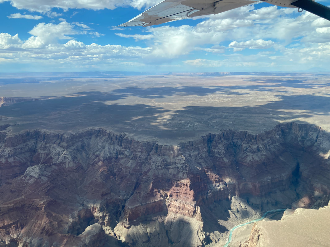
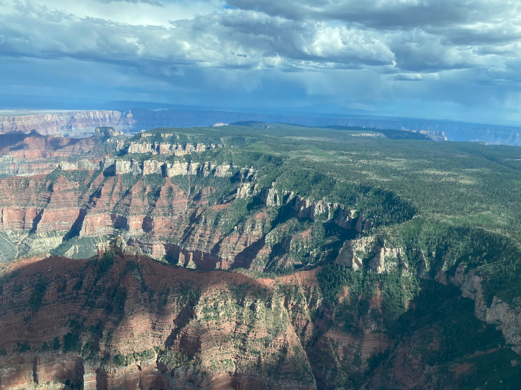
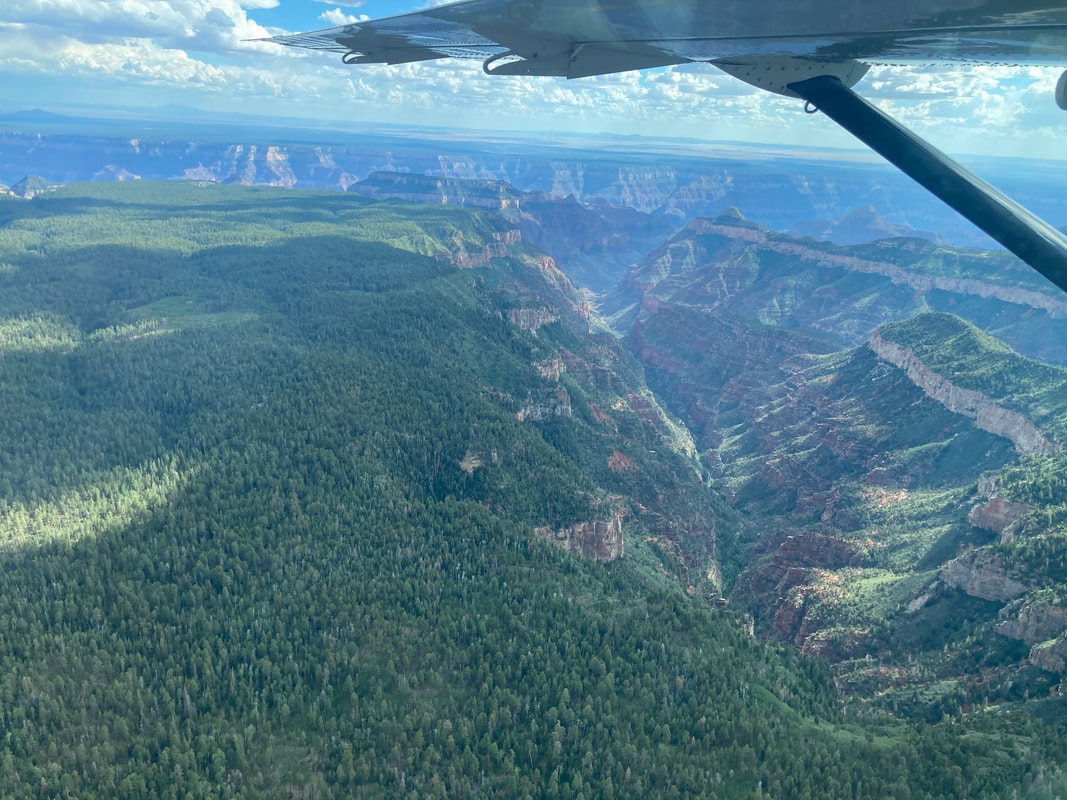
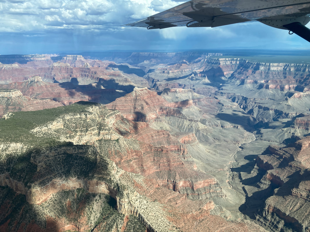
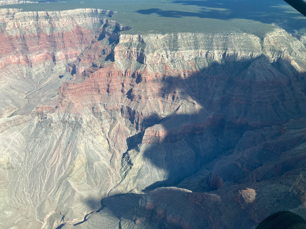
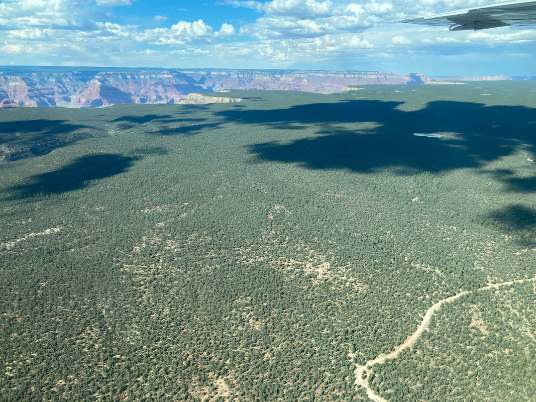
Grand Canyon Air Tour
This was an amazing experience. I would not recommend the ride to those that a prone to motion sickness.

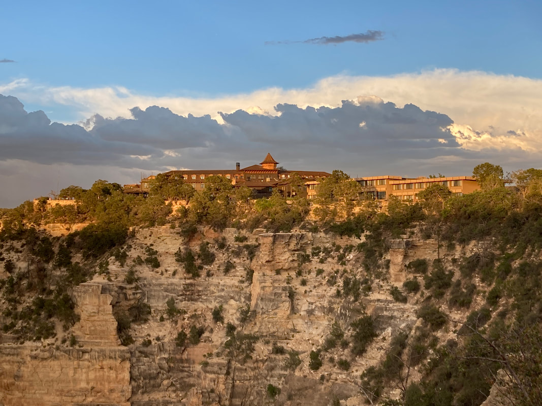
South Rim - The Village
|
|
|
|
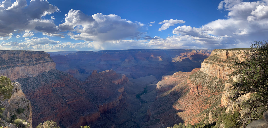
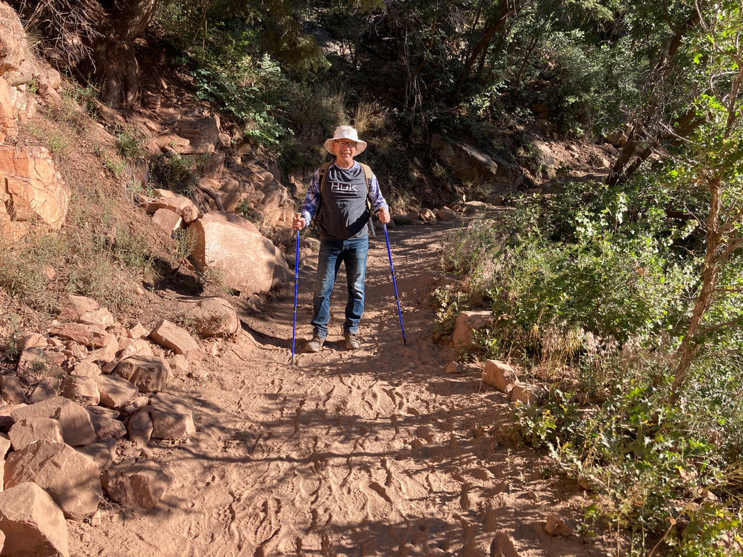
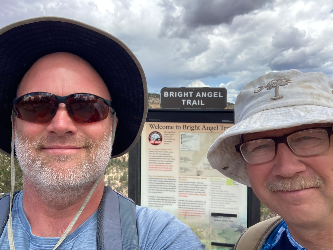
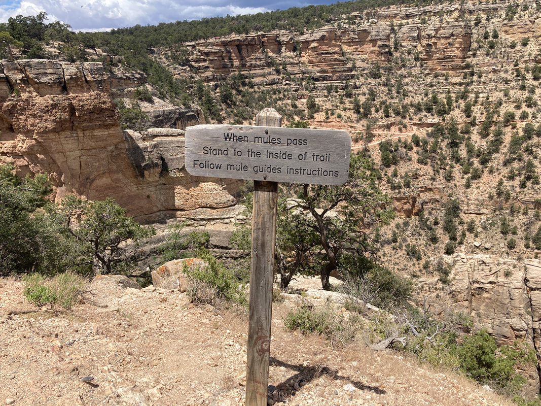
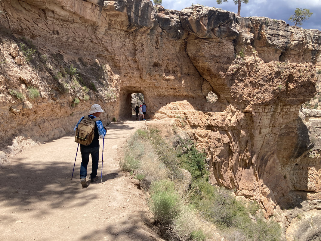
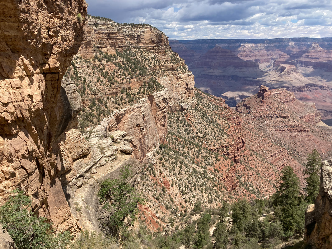
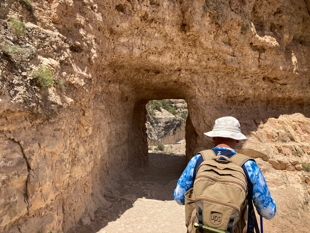
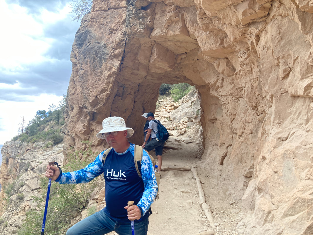
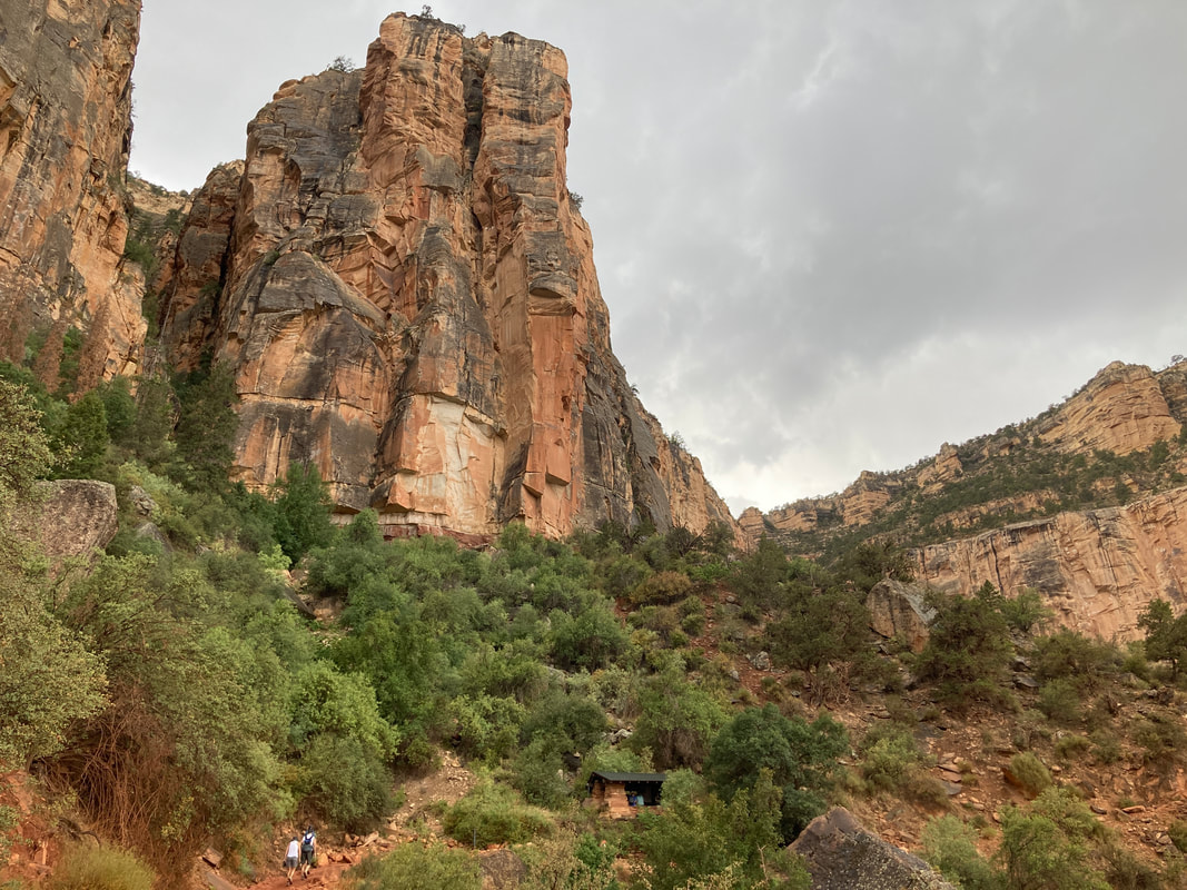
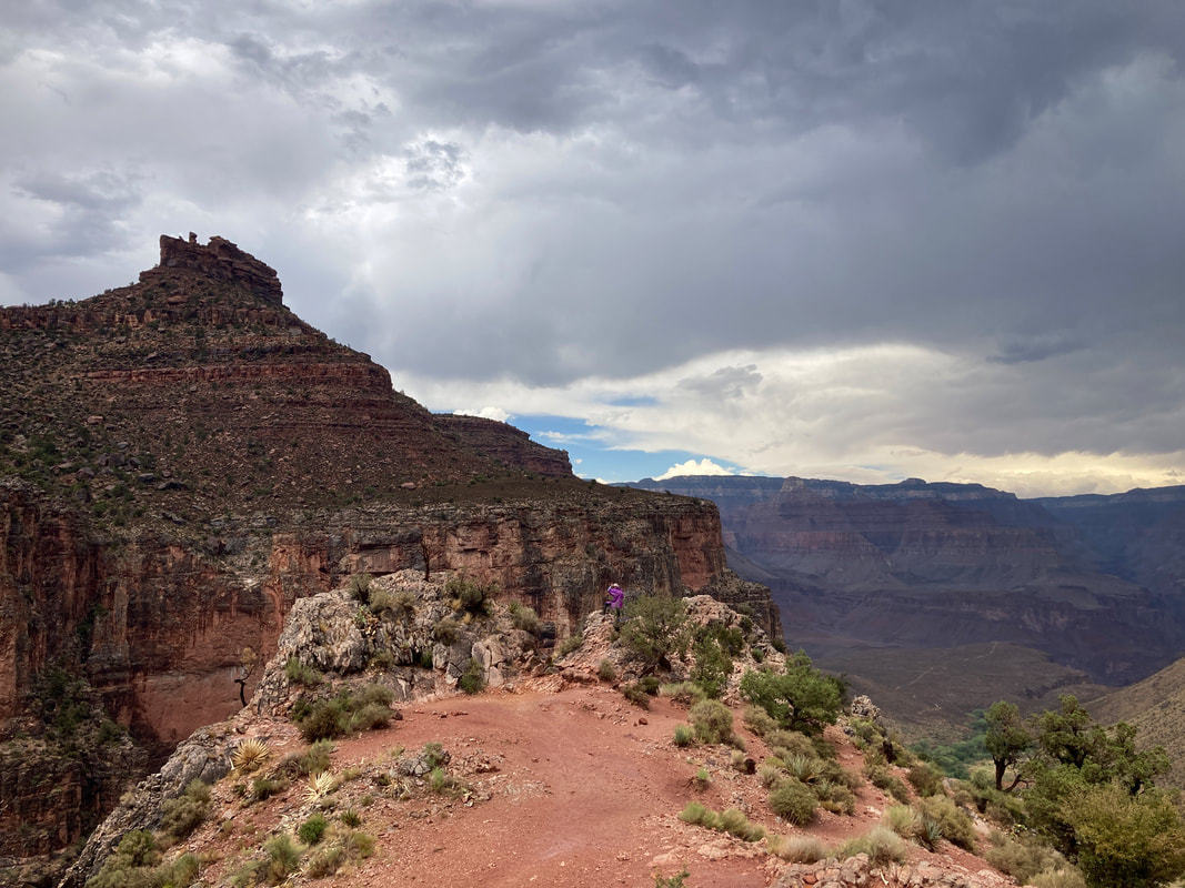
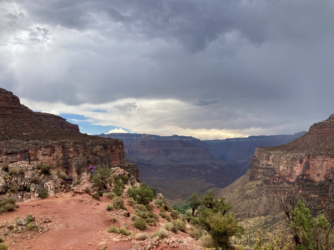
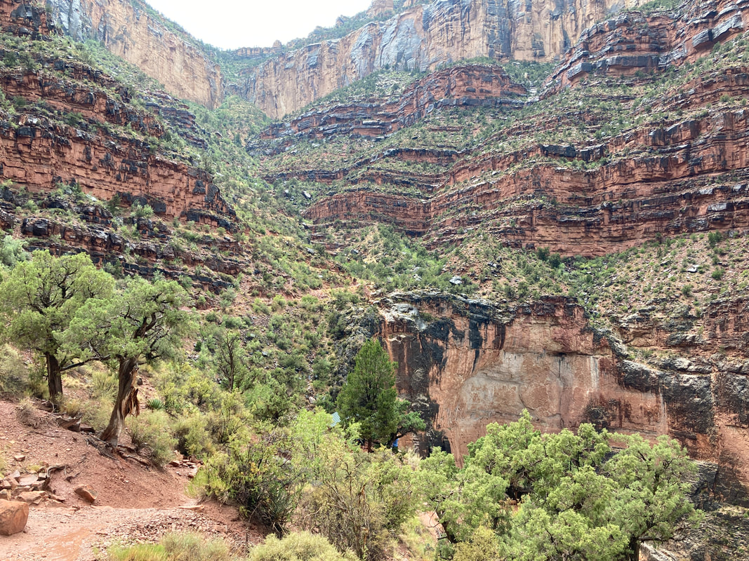
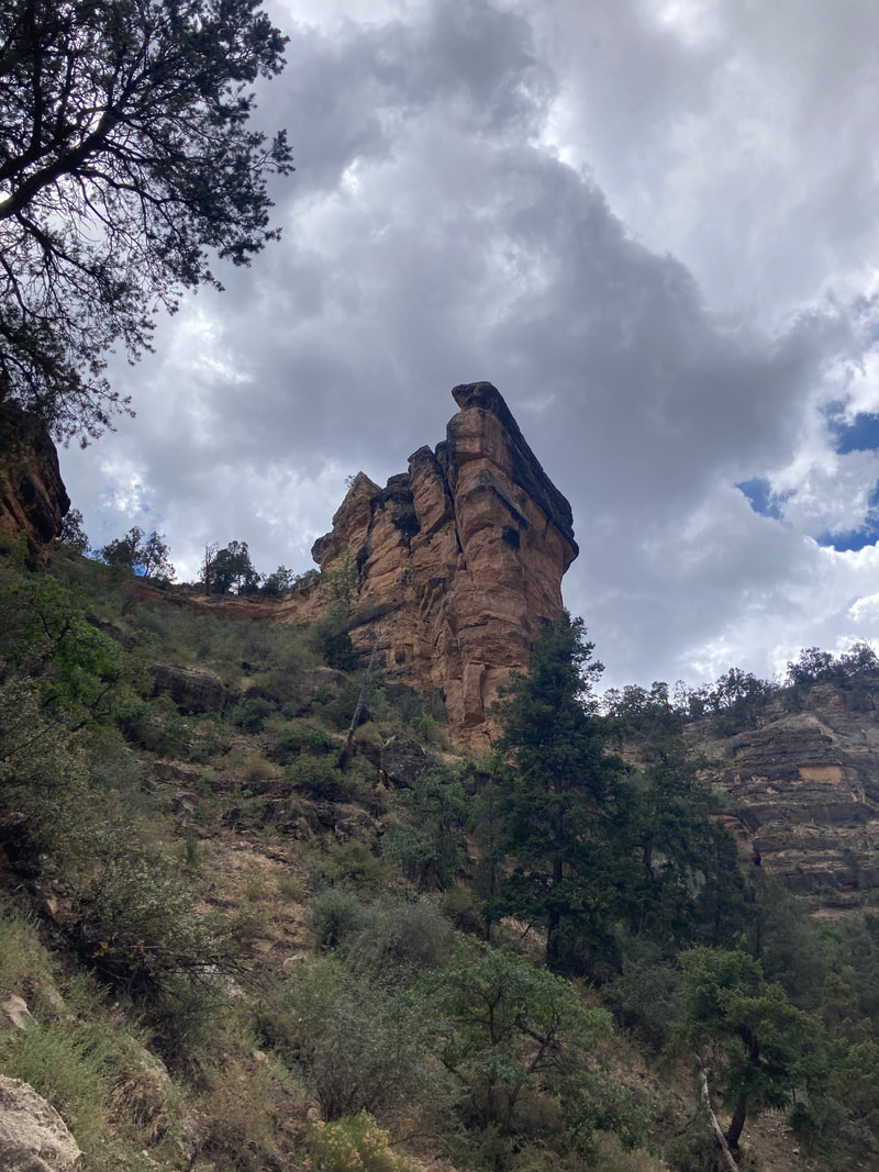
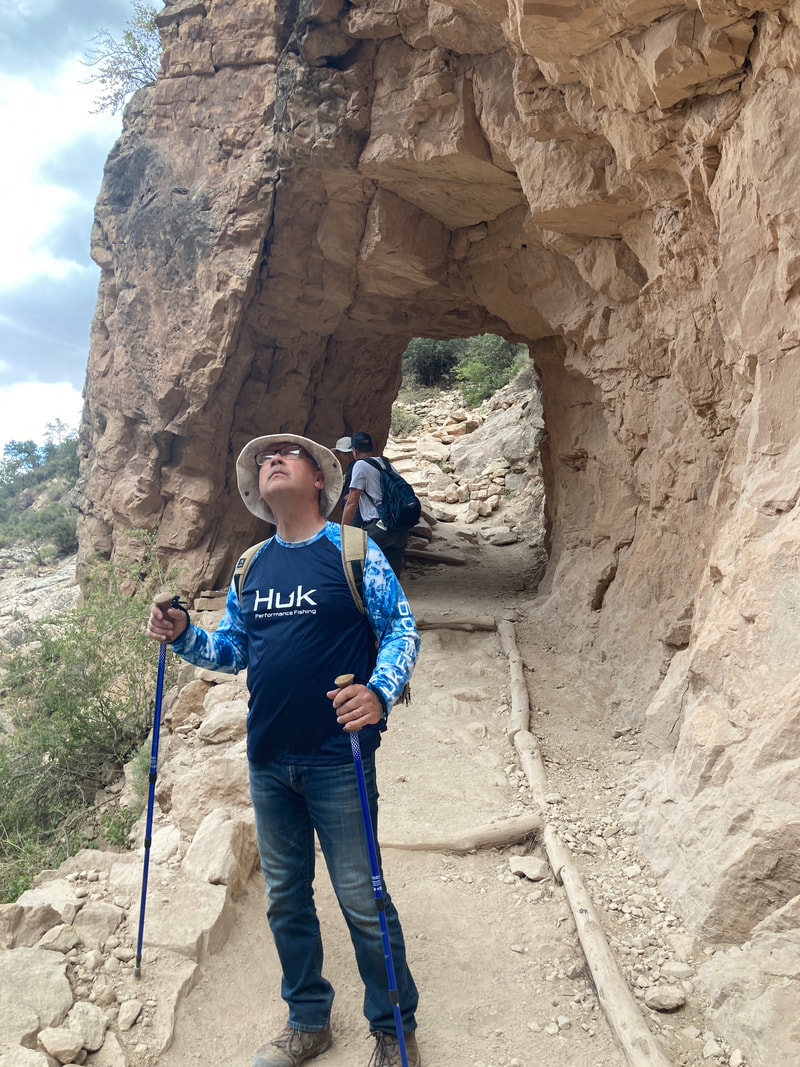
Bright Angel Trail
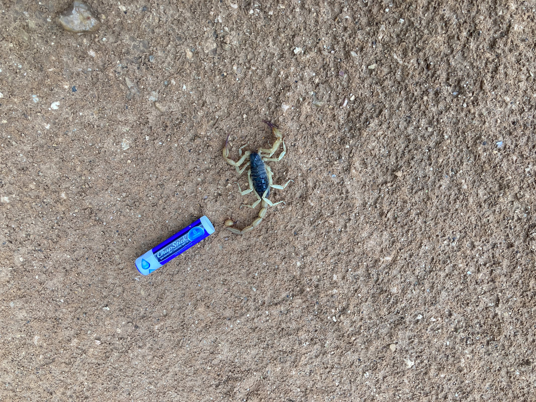
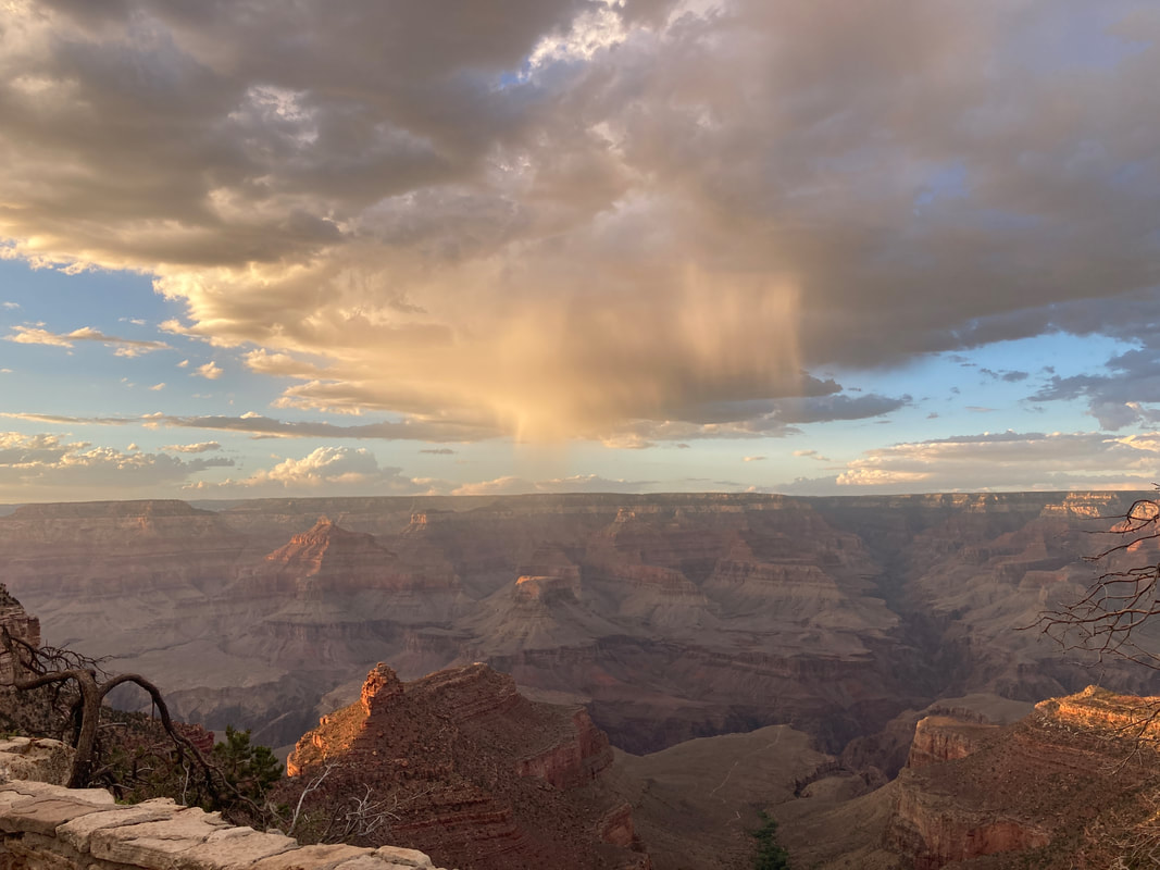
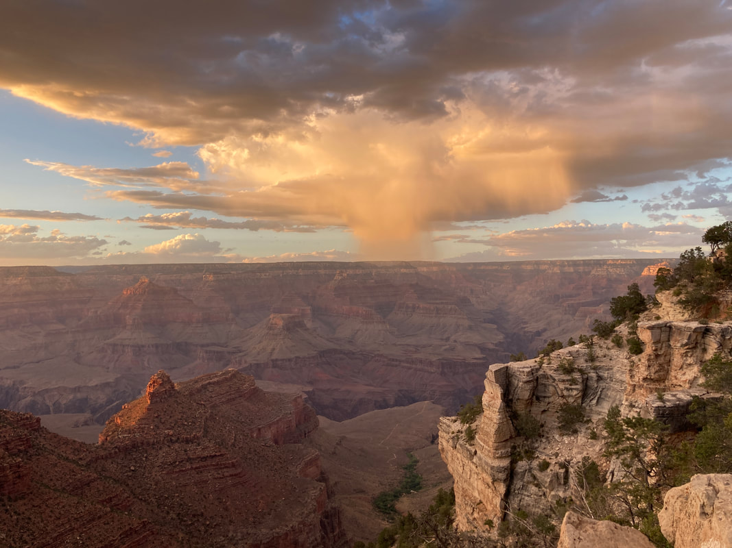
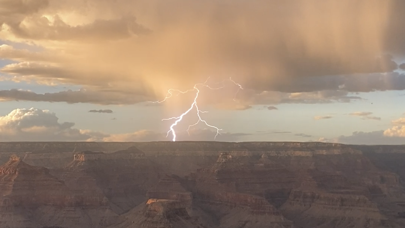
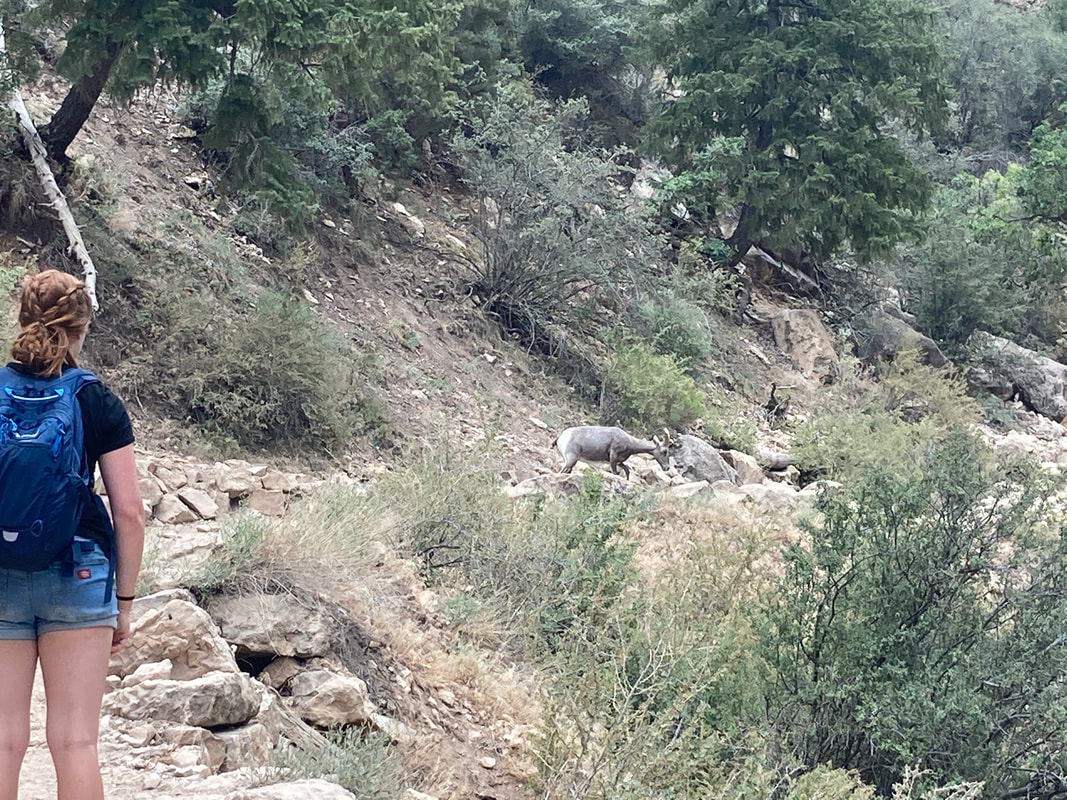
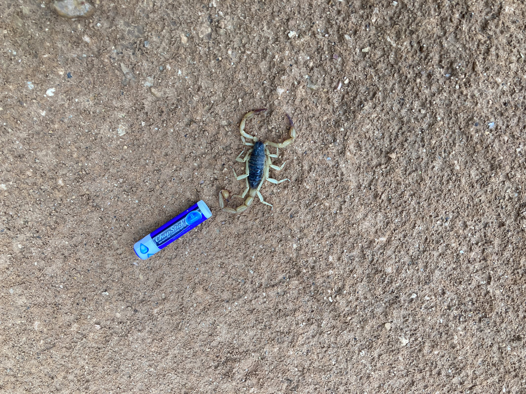
Hiked the Bright Angel trail to 3 mile rest house. 5 hours, 2040 feet. Experienced sun, rain, thunder and lighting, and hail. Passed a lady and Boy Scout troop that had seen North Kaibab trail. We saw a goat (I need to get pictures from James), a scorpion, and a couple of big horned sheep.
|
|
|
|
|
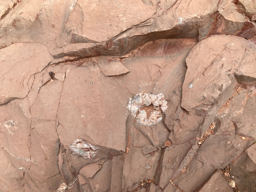
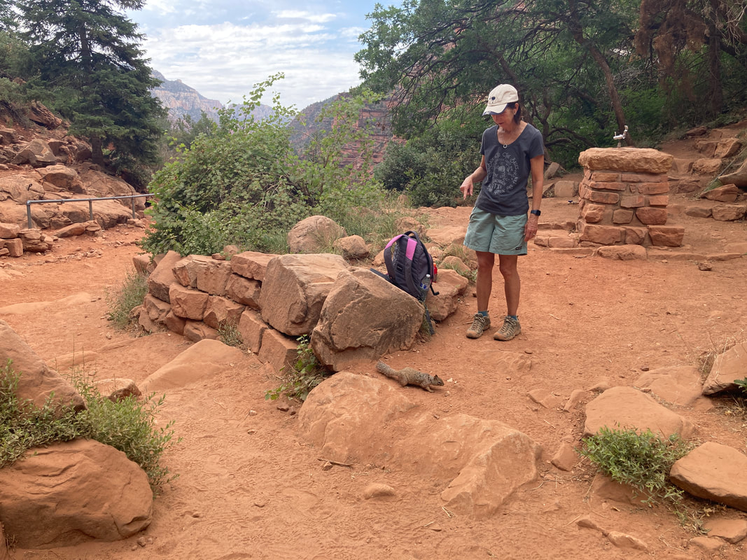
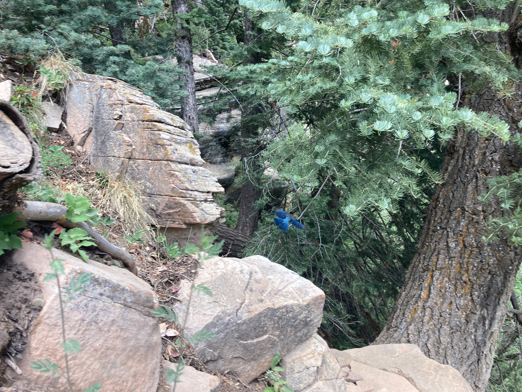
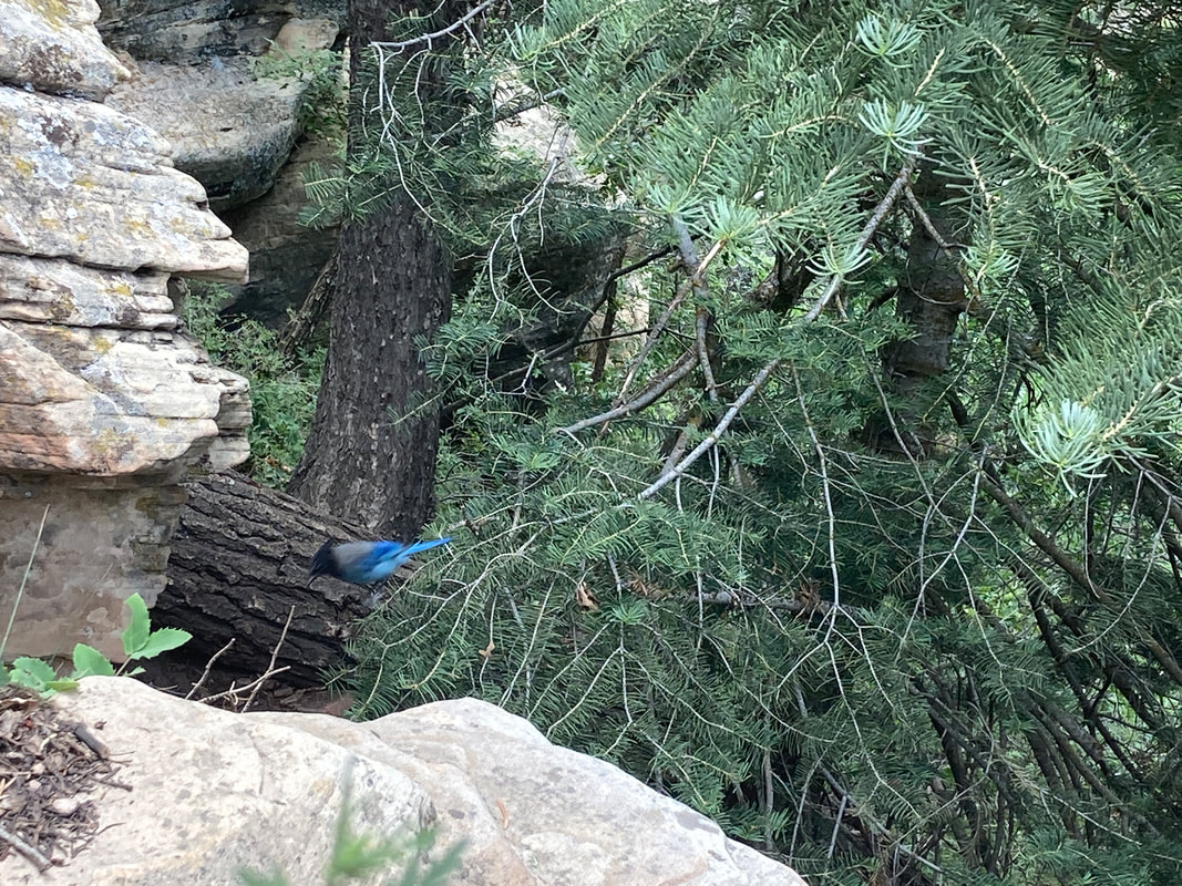
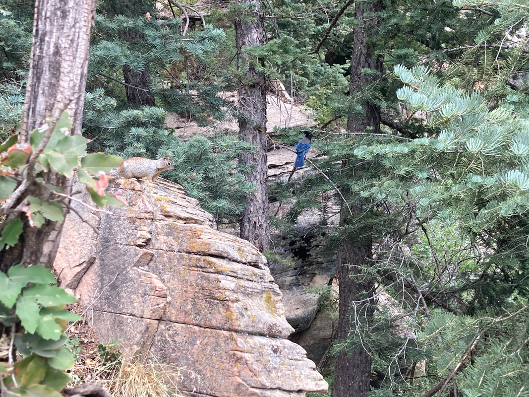
We saw a few critters along the way.
In addition to these, we also saw the goat on Bright Angel trail, but I did not get a picture.
|
|
|
|
|
|
|
|
|